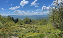
Mount Watatic
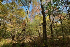
In the Fall when the leaves are changing in New England you hike where the colors are peaking. Today this meant that I was staying in southern New Hampshire/Northern Mass.
So after some deliberation I decided to go to the southern terminus of the Wapack Trail and hike up Mt. Watatic.
As I arrived to where the parking is located I saw the lot was totally full and people were parking across the street. So I made my way down the road till I found a place to park.
| Date: | 10-03-2020 |
| Location: | Adams, MA |
| Distance: | 4.4 mi |
| Elevation Gain: | 711′ |
| Total Time: | 2 hr 39 min |
| Parking: | 10-15 cars |
| Difficultly Rating: | Easy |
The trail started off with a beautiful bog bridge along a small wetland. The trail up to Watatic was easy to moderate most of the way. It is a VERY well traveled trail with lots of side trails along the way.
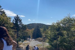
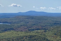
Once I reached the summit there was a rock with a marker and a large cairn. There were great views at the summit. On the way up I was informed that there was a second summit with great views of Boston so I made my way over to check it out first hand.
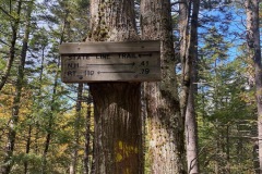
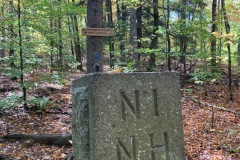
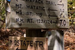
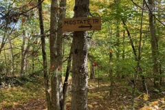
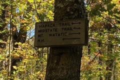
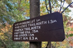
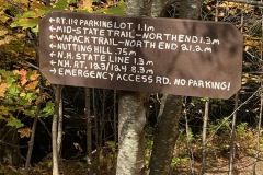
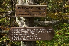
After a few pictures I decided to continue on and make a loop out of this trip. So I headed north to the Massachusetts/New Hampshire border. This is where the Wapack Trail and the Mid State Trail part ways.
After having some lunch at the boarder I headed back out to the car via the Mid State Trail Bypass. When I arrived back a the car I was amazed at how many cars there were. When I reached my car the line kept going as far as the eye can see.
I really enjoyed this hike. While there appeared to be a lot of people due to all the vehicles, I did not see as many people as I thought I would. This is a great small hike with some great views.


