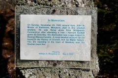
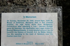
Blood Mountain Plane Crash Site
The Blood Mountain plane crash site has intrigued me ever since a friend told me about it. You can access the site from a few different directions, but there is no official trail leading to the site. So some navigation was necessary.
After some research and consulting with some fellow hikers I set out for the site with a friend of mine. We drove through the town of Goshen, NH on Center Road. There is a point where the road becomes unmaintained. From here the road becomes a bit rough but as long as you have 4×4 and a little clearance you would be all set. I drive a Jeep Renegade but most SUV’s should be fine.
| Date: | 11-20-2021 |
| Location: | Goshen, NH |
| Distance: | 3 mi |
| Elevation Gain: | 811′ |
| Total Time: | 2 hr 30 min |
| Parking: | 3 cars |
| Difficultly Rating: | Moderate |

We decided to take the road as far as we could. Conditions were dry and the road was manageable. We passed a number of pull offs on the side of the road to park or turnaround if conditions got bad. The road sort of comes to an end and some logging trails begin. We parked and started out on foot and navigating with the Gaia GPS app to ward the site.
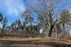
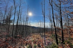
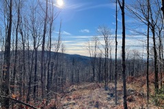
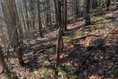
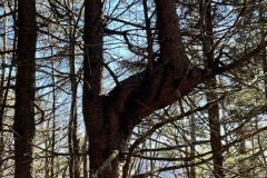
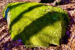
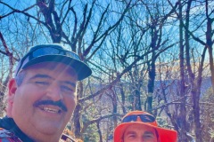
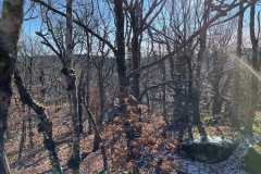
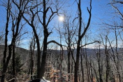
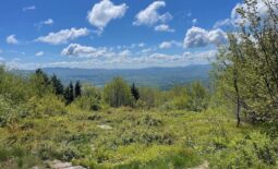
The weather was chilly, just below freezing and the sky was blue with out a cloud in it when we set out. We ascended through a maze of logging clearances and roads made out of logs and twigs “Slash” so you really have to watch your step.This section of the hike might be a bit tricky for dogs to navigate. We kept to the right of the logging area and climbed at a steady slant toward Blood Mt. And the Crash site. Lots of interesting trees, rocks and other natural landmarks.
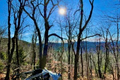
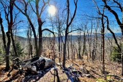
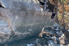
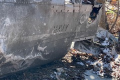
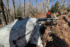
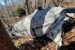
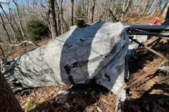
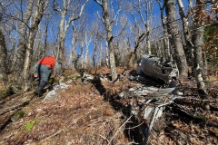
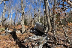
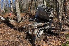
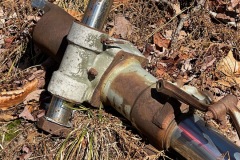
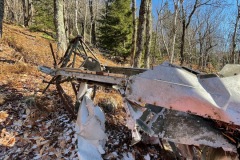
The terrain started to level out once we got closer to the crash site. I had loaded the crash site coordinates into my phone so I know exactly where to go. The first piece of wreckage we found was part of the engine and some scrap metal. From here we followed some heard paths down to the main fuselage of the plane. And below that were some fragments of the wings, landing gear and torn up pieces of aluminum.

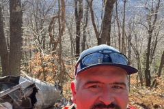
After spending some time photographing the wreckage we started back up the hill to summit Blood Mt. And then started our return back down the mountain. We followed the same route we went up. For time to time we would go a little to far one way or another. We also passed many of the land marks we saw or took pictures of on the way up.
Once we were back in the logging area the route back to the car was a bit easier to follow However now that the sun was out much of the frozen ground had thawed and created a bunch of mud we had to navigate. Once we got over all the slash again we knew we were close to the jeep.

Back at the Jeep we loaded out gear and headed out the way we came in. The road seemed to be a bit easier on the way back but we still went very slow and we made it back to the main road with out incident of injury.
I don’t do a lot of navigational hikes but this hike was fun. It would be interesting to try if from another side sometime.

