Goodrich Rock – Waterville Valley

| Date: | 06-11-2023 |
| Location: | Waterville Valley, NH |
| Distance: | 4.5 mi |
| Elevation Gain: | 754′ |
| Total Time: | 5 hr 2 min |
| Parking: | 10+ cars |
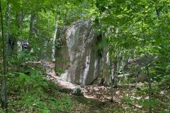
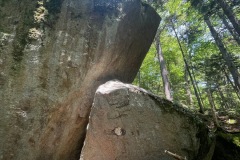
Goodrich Rock is a large rock/ledge that sticks out from the side of a mountain in Waterville Valley that is listed in two well-known hiking lists in New Hampshire; The Terrifying 25 and 25 Rocks that Rock.
For this adventure Liberty and I met up with some friends and furry friends as well. 6 people and three dogs.
The hike starts out in Waterville Valley right of Tripoli Road at the Livermore parking lot. There is a $5 parking fee if you do not have a white mountain parking pass. There is also a pit toilet available at this parking lot. There is ample parking, but you should note that this lot is the start for a lot of popular trails and does fill up at times.

The weather was nice out. Temperatures were in the high 60’s and sunny when we started from the lot down Livermore Road toward our trail. We came to open area with several xc trails, none of which were ours. We continued a little way to bridge where we got on the Greeley Pond trail.
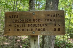
This trail is long and flat and would be a great xc ski sometime in the winter. After about .9 miles on this trail, we arrived at the Goodrich Rock Trail. The sign said that Davis Boulders were .5 away and that Goodrich Rock was .8 miles away.

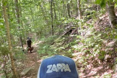
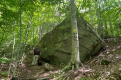
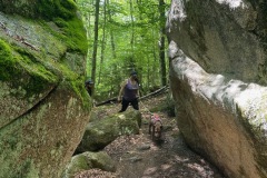
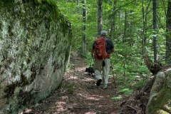
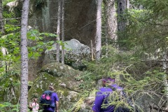
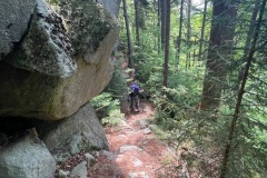
Once on the Goodrich Rock trail we started to gain some elevation at a moderate pace. We were soon greeted by some large boulders along the trail. These were fun to walk around and through in some cases.
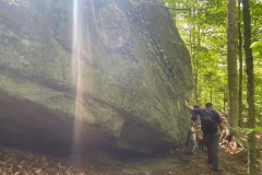
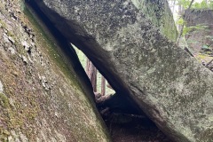
We continued and came to some even larger rocks with caves. At one point we had to crawl on our hands and knees through a cave. Then a little further up there were some enormous rocks with caves to explore. This is a very cool trail to explore. This series of large rocks must be the Davis Boulders, I guess.
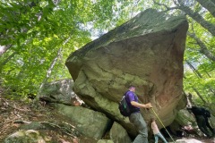
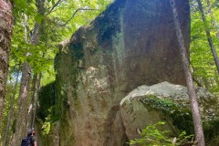
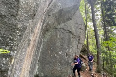
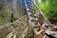
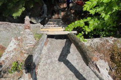
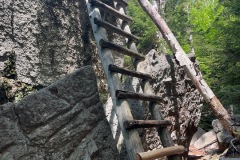
We moved on until we got to Goodrich Rock. You know when you are there because first you must climb down and around this massive ledge. The trail ends almost at the top of the rock where you are greeted by a huge ladder you must climb to summit the rock. I’d say the ladder is about 15-20 high. It looked sturdy so I made my way up after a few other friends tested it out.

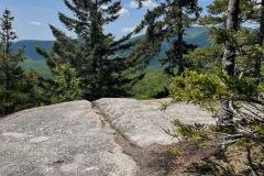
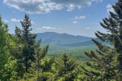
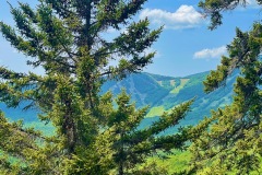
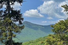
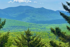
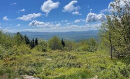
On top of Goodrich Rock are some views of Mt. Tecumseh, Waterville Valley, and some of the Sandwich Range in-between the trees and leaves. This and the Scaur would be great places to see in the fall when the leaves are changing color.
After a quick break and many photo ops, we made our way back down the trail. As always going back down seems much quicker due to not taking as many breaks.

Overall the Goodrich Rock trail was in excellent condition. Water bars were all cleaned, no branches to clear or walkaround. Footing was very sturdy. I really liked this trail for all the fun and different geological features too. This would be a great cloudy or drizzly day hike.
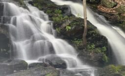
When we made it to the Greely Pond trail the sun was shining and it was starting to get a bit warm. We took a quick break by the stream to cool off and then marched off back to the car.
Throughout the trip we only saw a few other hikers. I’m guessing because it was a nice day people were going for higher peaks. It’s always nice to have a trail to yourself so you can take your time and enjoy the journey.

