Crotched Mountain in March

| Date: | 3-2-2024 |
| Location: | Greenfield, NH |
| Distance: | 4.69 mi |
| Elevation Gain: | 795′ |
| Total Time: | 3 hr 44 min |
| Parking: | 15+ cars |
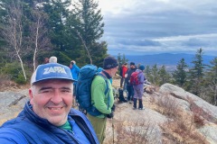
Sometimes I like to hike by myself but other times hiking with others can be fun too. Some friends organized a hike up Crotched Mountain in Greenfield, NH and I decided to join.
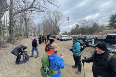
We had a 9 am meet-up time to see how large our group would be. From there we carpooled over to the trail head. The plan was to go up the Shannon Trail to the summit and figure out a loop back to the car.

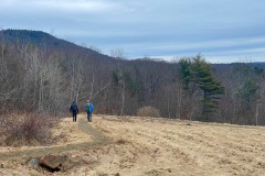
The weather was calling for some showers in the afternoon. In the morning it was chilly, in the low 30’s and mostly overcast with a small breeze. At the trail head we got ourselves organized and headed up the dirt road for a way. There is an accessible trail that runs parrel to the road, so we hopped on that.
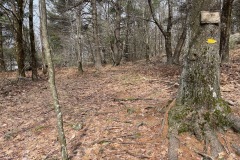
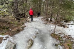
As we hiked, I noticed footprints in the mud still froze from the day before. Soon we came to some steady ice that was covering the trail. I decided to put on my spikes along with some others.

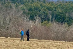
At this point the trail is easy/moderate, so we all moved along a steady pace. The ground changed from snow to ice to frozen mud at different points.
We got to the first junction that could loop us up to the summit, but we decided to take the direct route up just in case the weather turned on us.

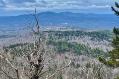
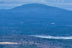
We continued with more bare ground and ice. At this point the trail was getting a little steeper. When we reached the second trail junction things started to get much steeper. It was up an icy rock ledge to a nice look out toward Mt. Monadnock.
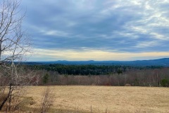
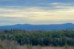
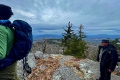
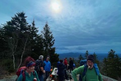
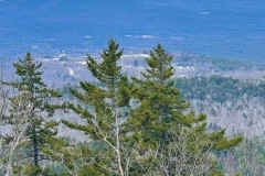
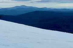
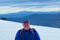
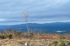
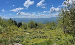
From here we were pretty close to the summit, and the pitch stayed pretty steep to the “Outlook”. This is an area with a beautiful view facing south and southeast. There is a picnic table up there, so we all took a bit of a break for a while.

After lots of photos and snacks we marched on to the actual summit. At the summit there are a few cell towers and some old foundations. Not much of a view from there.
From here we continued down toward the Crotched Mountain Ski area. We climbed down the back side of the summit to a connecter trail that took us over to the ski area. This trail was icy right out to the ski slope.

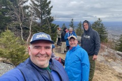
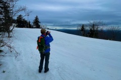
There was only a hand full of us that made it to the ski slope. The others decided to head back down from the summit. We took a break and a bunch of photos. The skiers where excited to see the dogs that were with us.
From here we started to head back to the bottom. Our small group spit up again after a while. We made it back to the Shannon Trail and continued back down the mountain.

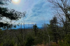
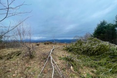
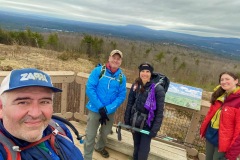
On our decent we decided to check out a look out we missed on the way up. It was a short .25 mile off the main trail that leads to a small hill with a few clearings looking out to the west. The last clearing had an octagon deck with a look out sign that labeled what mountains you are looking at. It was cool.
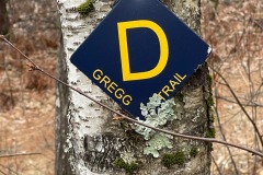
This is also the terminus of the Gregg Accessible Trail that starts at the beginning. So we choose to follow the whole path back to the parking lot.
Back at the lot everyone had gathered again and were enjoying a beverage and getting ready to head to a restaurant for an after-hike bite to eat.

It was a good hike and we did beat the rains. In fact, it just started to rain after we left the parking lot. This was also a reminder to keep my Micro spikes in my pack till Memorial Day.
