Piermont Mountain

| Date: | 11-5-2024 |
| Location: | Piermont, NH |
| Distance: | 4.3 mi |
| Elevation Gain: | 1391′ |
| Total Time: | 4 hr 42 min |
| Parking: | 4-4 cars |
I was up early to vote in the Presidential Election. After voting, I met up with my friend Laura and Onyx to go hike up Piermont Mountain in Piermont, NH.
The weather was overcast with some drizzly rain in-between, but the forecast said things would clear up by mid-morning.

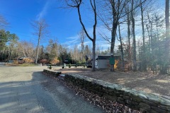
When we arrived at our destination, we realized we would have to park outside the gate at Camp Walt Whitman. The camp is private property, so we respected the sign and parked out by the road.
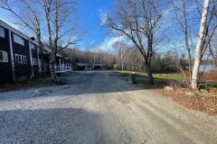
We walked down the road through the camp. The camp is pretty large and reminded me of the camp from the movie Dirty Dancing. After navigating our way through all the buildings, we finally found the trail head for the Pvt. Richie Green trail that would take us to the top.

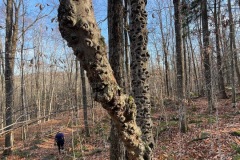
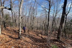
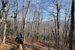
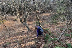
The trail starts out pretty easy, however there were a lot of leaves to go through that were hiding many of the rocks and sticks on the trail. Shortly after we hit our first moderate grade.

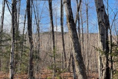
After climbing a few hundred feet more the trail flattened out a bit. We were still going up just not as steep until we got to the last quarter of the hike. From here things become steep. We still had good footing just had to take a lot of big steps and needed use the trees to help pull us up.

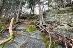
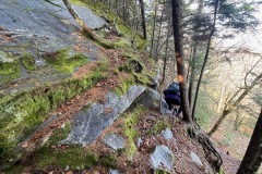
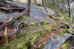
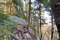
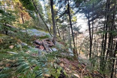
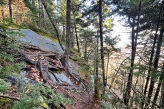
The trail does have some false summits, and it seemed to take us a little longer than we expected but we kept moving forward. We came to another steep pitch and at the top of it was a ledge scramble where we had to pull ourselves up with some roots from trees growing on it. Some areas were vertical.

After that there was one more steep section but was not as technical as the section before. So we kept climbing and eventually things started to flatten out toward the top.

Once we reached the ridge line, we entered a thick mossy forest, and we could hear the winds starting to pick up. Even a little rain started fall. The short ridge walk was very cool. It was nice to be in this mossy wonderland.

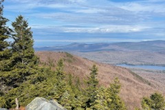
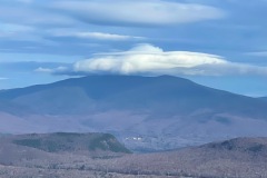
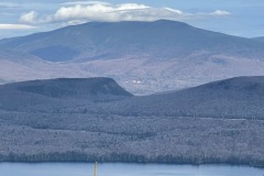
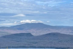
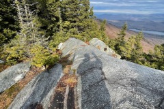
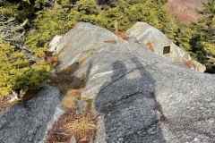
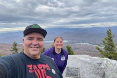
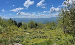
This trail ended at a rocking outlook to the north east. There were still some clouds in the sky but they were high so we had some views while we were there. In fact, the only mountain we could not see the top of was Mt. Moosilauke.

We spent some time up there, had a drink and took some photos. Before we left, the sun started to peak out between the clouds, and by the time we put our packs back on, the whole valley was sunny.

On the way down we were moving a little slower than usual. The steep terrain, leaf covered trail and hidden hazards had us on our toes.

There was a lot of slipping and stumbling on the way down, but we made it down safely. The steep part at the top was where we needed to be the most cautious.

In the flatter areas I seemed to stumble a bit more on the hidden rocks and holes. We eventually made it down to the camp and walked back up to the car.

Overall, this was a very casual hike and we were both pleased that we did not see a single person on the trail.
