Big Pines Natural Area – Great Hill

| Date: | 1-2-2025 |
| Location: | Tamworth, NH |
| Distance: | 8.81 mi |
| Elevation Gain: | 1006′ |
| Total Time: | 5 hr 50 min |
| Parking: | 20+ cars |
Another day, Another “Plan C”. I originally was going to go up to Sunday River skiing, but with high winds in the forecast I figured many lifts might be closed. So I went to King Pine to see how their cross country trails were. They were not skiable. So plan C was to hike Great Hill in Tamworth, NH.

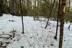
When I got close to the trail head, I was surprised to see that there was snow on the ground. The trail head is a pull off with room for 2-4 cars depending on the snow plowing.
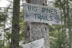
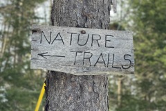
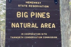
There is a large wooden sign, and the trail entrance is well marked. There was snow and ice so the Micro spikes went on right away.

About 20 yards in the trail there is a mailbox marked Maps. I’m not sure who this Map family is but I bet they don’t get much mail delivered out here. The mailbox was empty when I opened it.
This first part of the trail was very icy. The trail drops a bit down to the Swift River. There is a well-constructed foot bridge to cross.

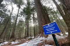
Shortly after that I came across a large pine tree with a sign stating that it was a New Hampshire Big Tree Champion. That was cool. I’ve never seen a big tree champion before.
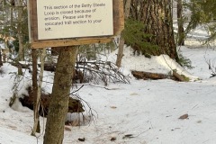
Then the trail starts to climb a bit up to the junction of Betty Steele Loop. I choose to go counterclockwise. The trail is in pretty good condition, and it maintained by the Tamworth Conservation Commission.

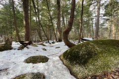
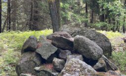
There are some interesting rock features and some small water crossings, but they were all easy to hop over.
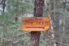
Halfway around the loop I got to the Peg King Spur Trail that leads up to the fire tower. From here the trail gradually gets steeper and there is just enough snow on the ground to easily grip with the micro spikes.

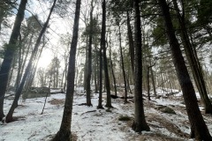
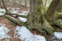
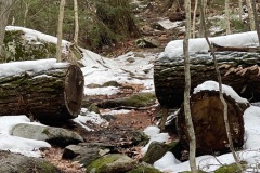
This trail had some cool log cutouts where trees had fallen over the trail. There were also some knarly and knotty trees growing along the trail. The last little push to the top was a little steep but manageable even with the ice spots.
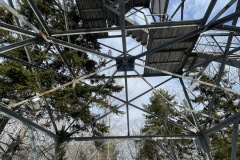
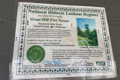
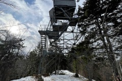
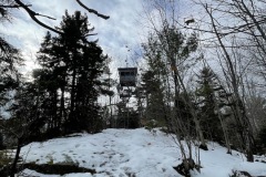
When I got near the top, I could see the fire tower through the trees. As I approached it looked like the cabin on top was open so that was exciting.

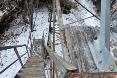
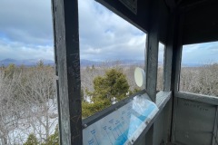
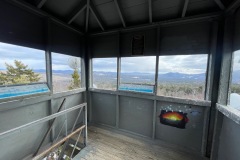
As I climbed up the steep narrow stairs, the wind was really howling. It was really a lot more noticeable when I was out of the trees. Inside the cabin there are no windows. So the wind is blowing pretty good up there too.

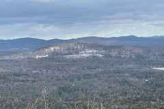
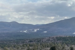
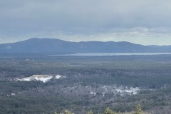
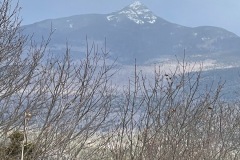
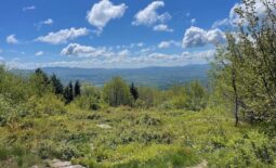
There is a great view of Mount Chocorua up there. It was windy and snowy in the mountains, and you could see it. To the south there are views of Ossipee Lake. It was cold up there, so I didn’t stay up there long.
On the way down I did have to be a little more careful, there was a lot of hidden ice on the steeper areas. Even with the spikes I did slip a few times. The Spur trail back to the Betty Steel Loop seemed to go quicky.

Once there I continued the loop. There was a small section that was rerouted due to some erosion but was easily followable.
The only people I saw where toward the end of the hike, there was a couple climbing up from the bridge.

Before long I was back at the car. This was a nice little hike. If you are in the area I and just looking for something simple and easy with a view (and a tower). This is a good choice. I’d like to come back some time with my camera and shoot some stars from the tower.

