Exploring The Moose Mountains Along The Appalachian Trail

| Date: | 5-26-2025 |
| Location: | Hanover, NH |
| Distance: | 5.94 mi |
| Elevation Gain: | 1234′ |
| Total Time: | 4 hr 547min |
| Parking: | 4-5 cars |
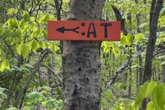
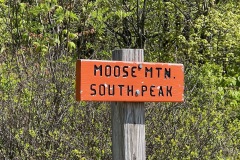
I’ve been wanting to do this hike for a while. It is not a long or very hard hike but it is very interesting and has a lot to see and explore. This section of the Appalachian Trail goes over three peaks; South Moose Mt., North Moose Mt. and Moose Mountain.

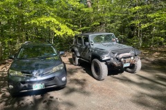
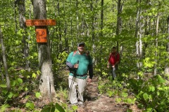
My buddy Jack and I both drove up so we could spot a car at each end. We dropped my car at the Goose Pond Road trail head. Note there is another trail network about a mile down the road. This is not were to park. Parking is across from the trail head and can hold 4-5 cars. There is also an alternative parking about a hundred feet down the road. Which is where i parked.

The drive to the Three Mile Road trail head is beautiful. When we arrived, there was still room in the small lot. It could hold about 5 cars. Otherwise, you are parking in the street, but the road is not very busy.

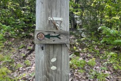
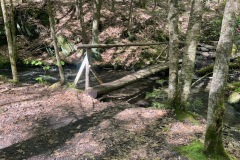
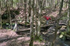
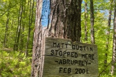
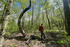
We started up the trail toward South Moose. The trail starts out gradually. Not too far in we came upon a walk bridge over the first water crossing. There was also a sign that marked the spot where “Matt Dustin Abruptly Stopped in 2001”.

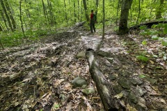
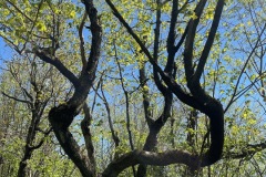
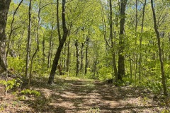
The trail was very well maintained, and it was easy to get around most muddy or swampy areas. There are some cool shaped trees in this area as well.
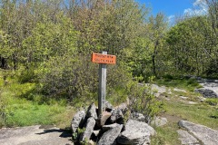
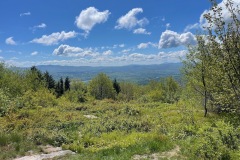
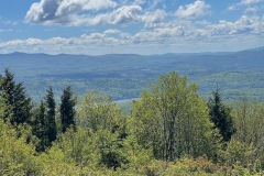
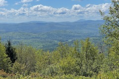
When we reached the summit there were some great views into the valley. The summit sign is propped up by some large rocks. There are some great views of from this peak. You can also see Goose Pond below.

This peak is also the area where a Northeastern Airliner crashed in 1968 killing 32 people. There is no longer any wreckage or remanence of the plane crash, but it did have a somber feeling being up there. Especially because it was Memorial Day.
After some pictures we continued on toward North Mountain. This is kind of like a small ridge walk. We noticed several trees that were turned black from lightning strikes. Some of the trees were charred on one side and normal on the other.

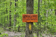
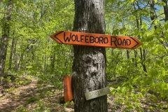
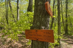
When we came to the col. Between the two trails there was a sign for Wolfeboro Road. This was also known as Governor’s Road or Wentworth Road and was named after Governor John Wentworth. He was the last royal Governor before the United States declared their independence. This road went from Lake Winnipesaukee to Hanover, NH.

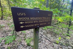
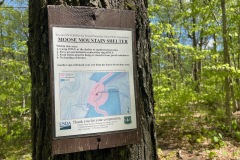
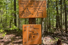
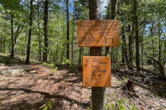
We continued up the hill for a little bit and came to the junction that leads you to an AT shelter. The shelter is not very far off the trail. We took a break here for a bit. We signed the hiker log. It was cool to see the log was in an old 1980’s Trapper Keeper. I haven’t seen one of those since 4th grade.

Just in front of the shelter is a bench with a nice view to the east. A few more pics and we kept moving. On the way out I had to walk down and check out the Privy. It looked like it was recently rebuilt. Everything was in good shape. I almost wish I needed to go. On our way back to the trail we saw the tent site. Pretty basic.

Once we were back on the trail the summit of North Mountain was not far away. This mountain summit is wooded, and the summit sign was stuck in a pile of rocks. No views or points of interest in this mountain either.
From North Moose we started to make our way over to Moose Mountain. Again there were several lightning strikes on trees. This mostly a small grade between the two peaks. There are some views on the main mountain. At one point in time there was a fire tower on this peak but nothing remains. No markers or signs that I noticed. Just a high point of land.

From here the trail starts to descend at a decent rate. At several points we were glad that we did not ascend this side. It would have been a steady climb. We took a few breaks on the way down. There was another foot bridge across a stream and a few small water crossings.

After a while the trail started to flatten out and soon we could see the road. One last picture from this side of the trail.

This was a really fun and not to hard hike. There was a lot to see and I’m glad we were able to car spot. I’d like to revisit South Moose Mt. sometime and take the loop trail as well.

