Bog Mountain – Wilmont, NH

| Date: | 7-19-2026 |
| Location: | Wilmont, NH |
| Distance: | 4.89 mi |
| Elevation Gain: | 891′ |
| Total Time: | 3 hr 26 min |
| Parking: | 1-3 cars |
Some friends had hiked this mountain a few days before and it sounded like a good hike to explore.

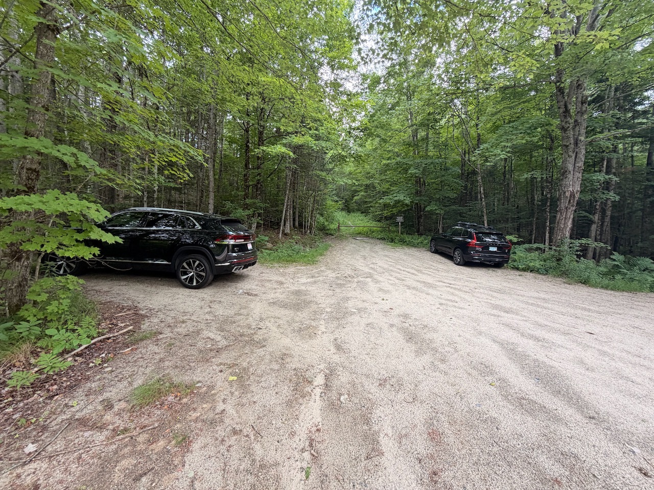
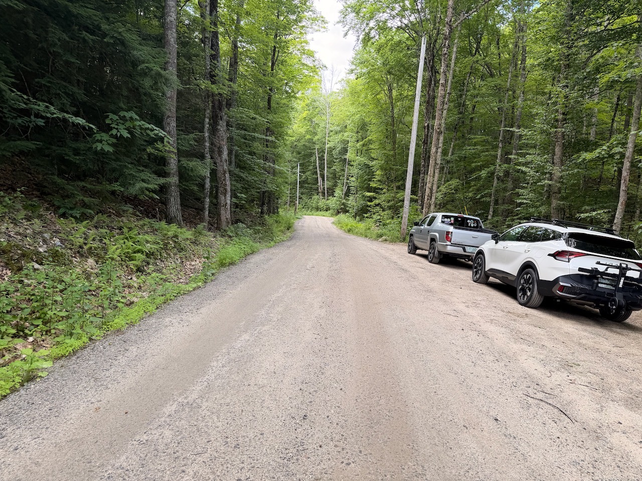
I started out at the parking area on route 4a in Wilmont, NH. There was not a lot of room to parking. There was one spot with a car in it and then enough room for me to park without blocking the gate or road.

Temps were nice when I got there. They were in the 70’s and it was not supposed to get real hot that day. It was pretty sunny but still a few clouds in the sky.

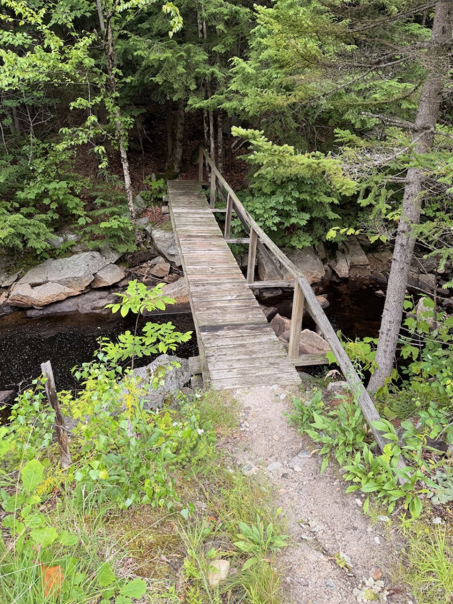
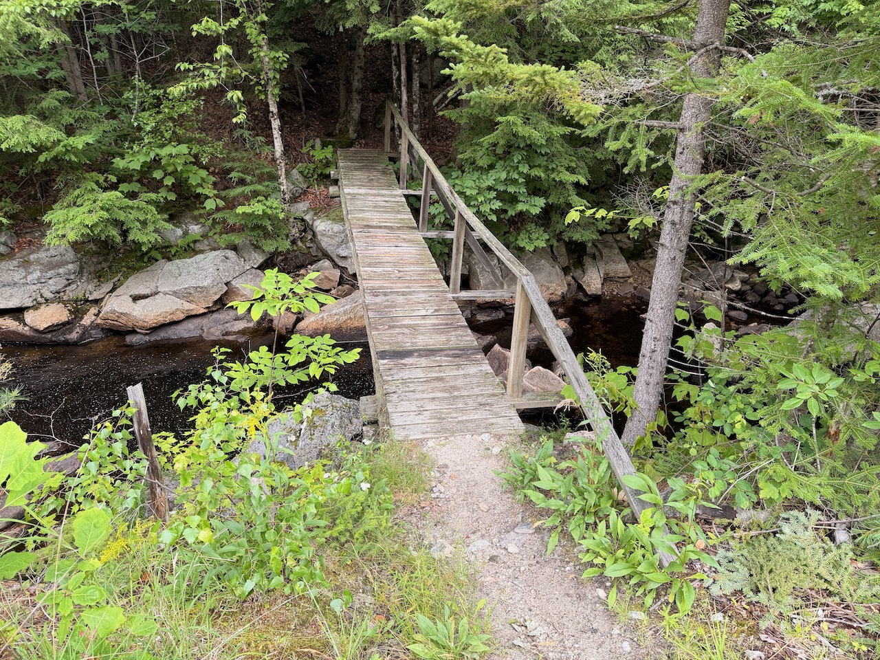
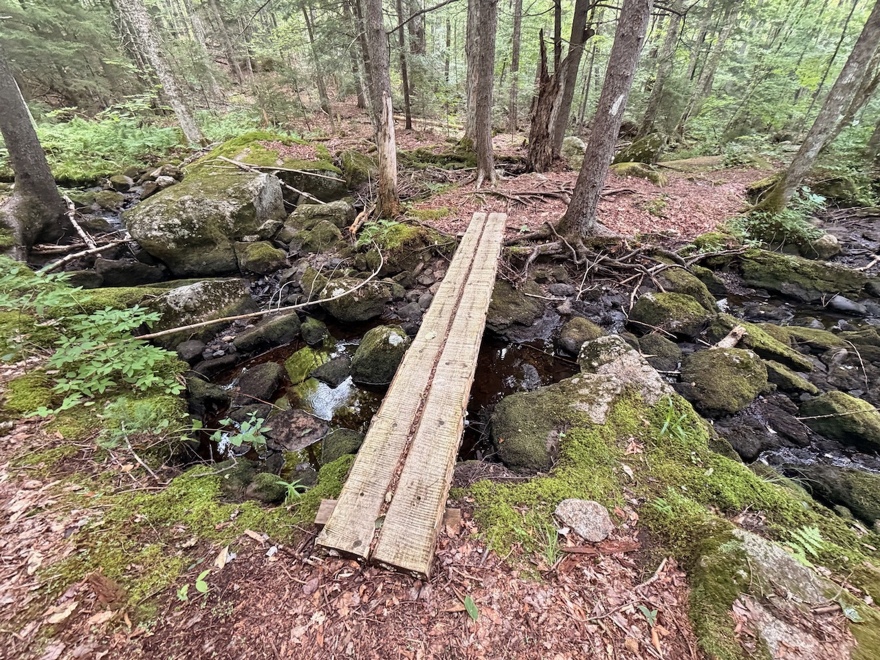
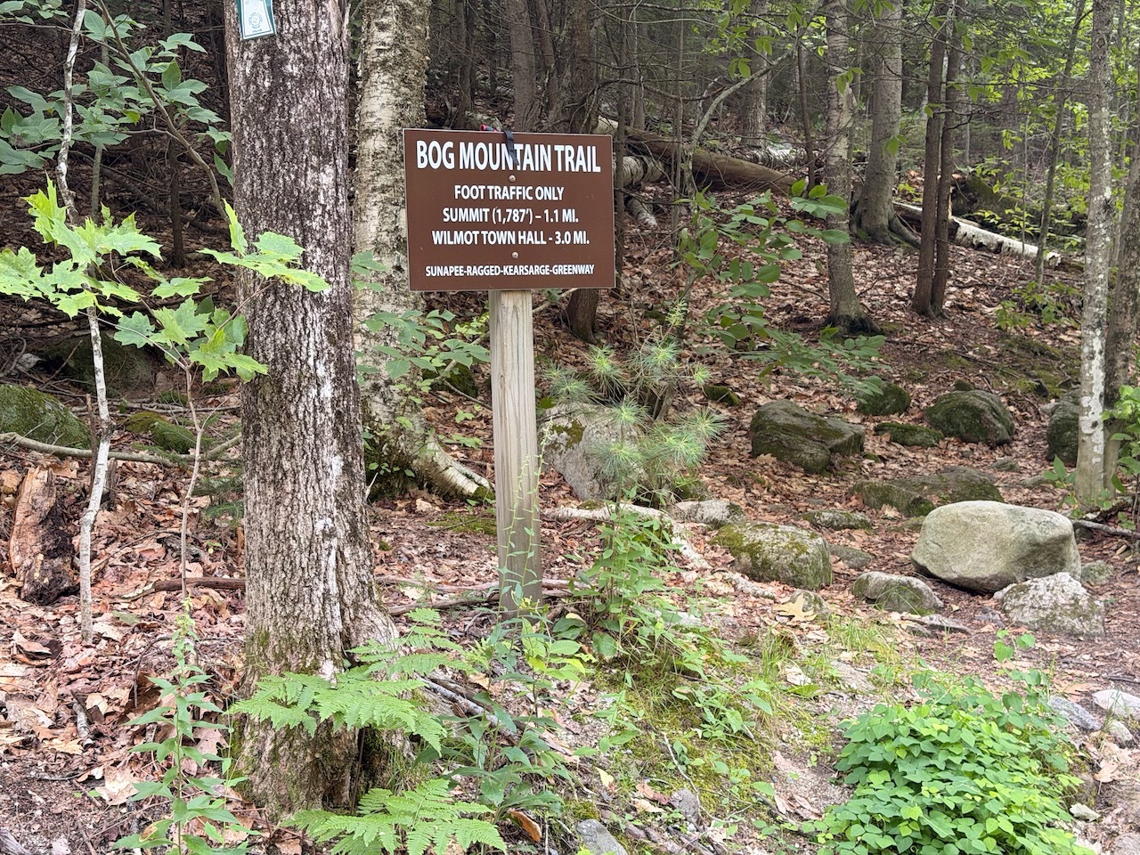
The trail starts across the street and enters the woods a little further down the road. It crosses a nice bridge over a large stream.

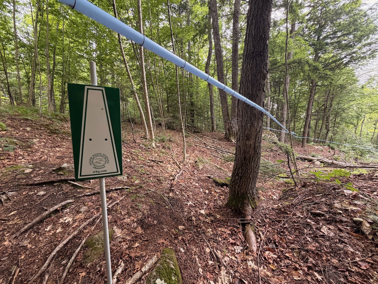
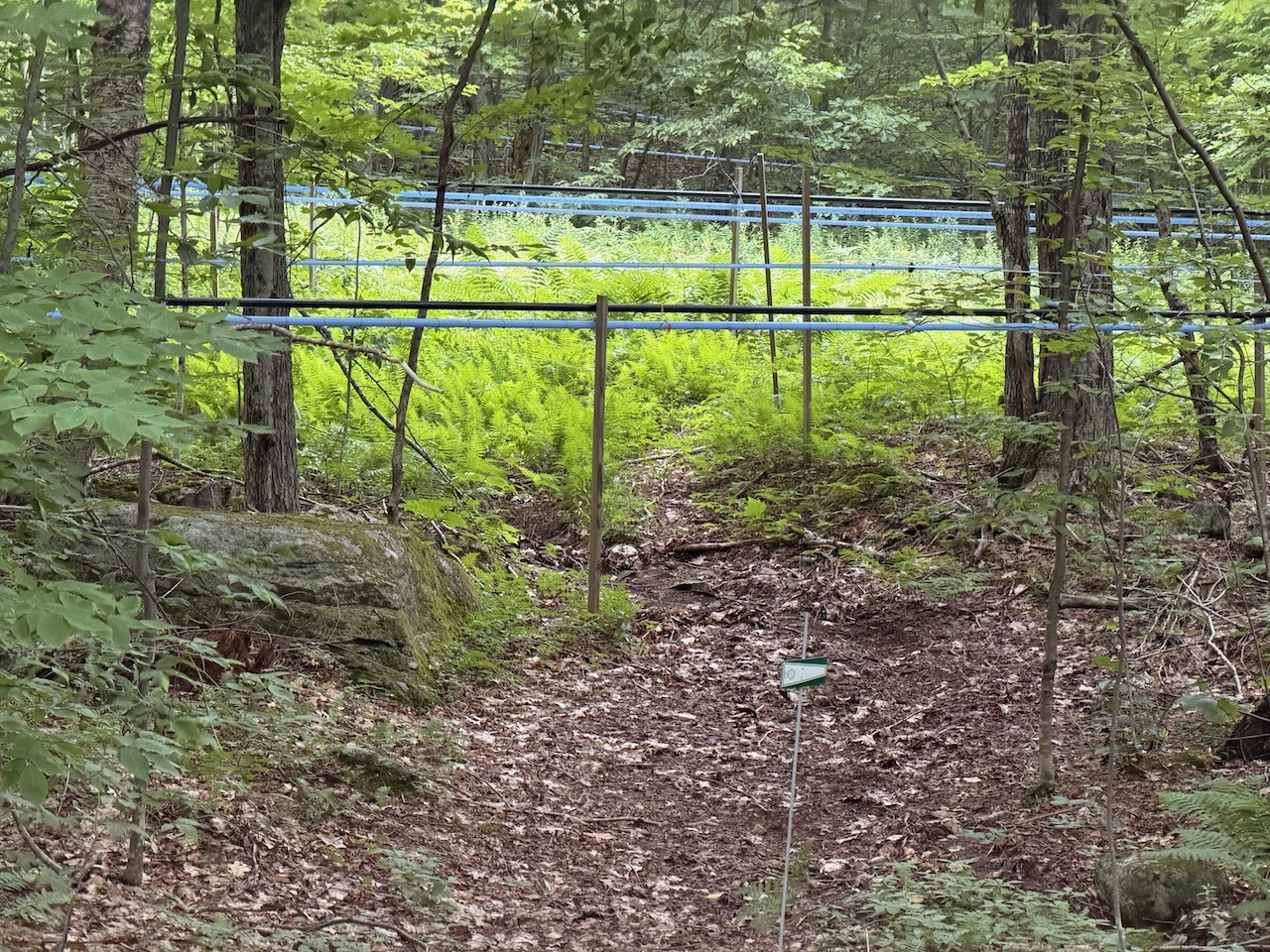
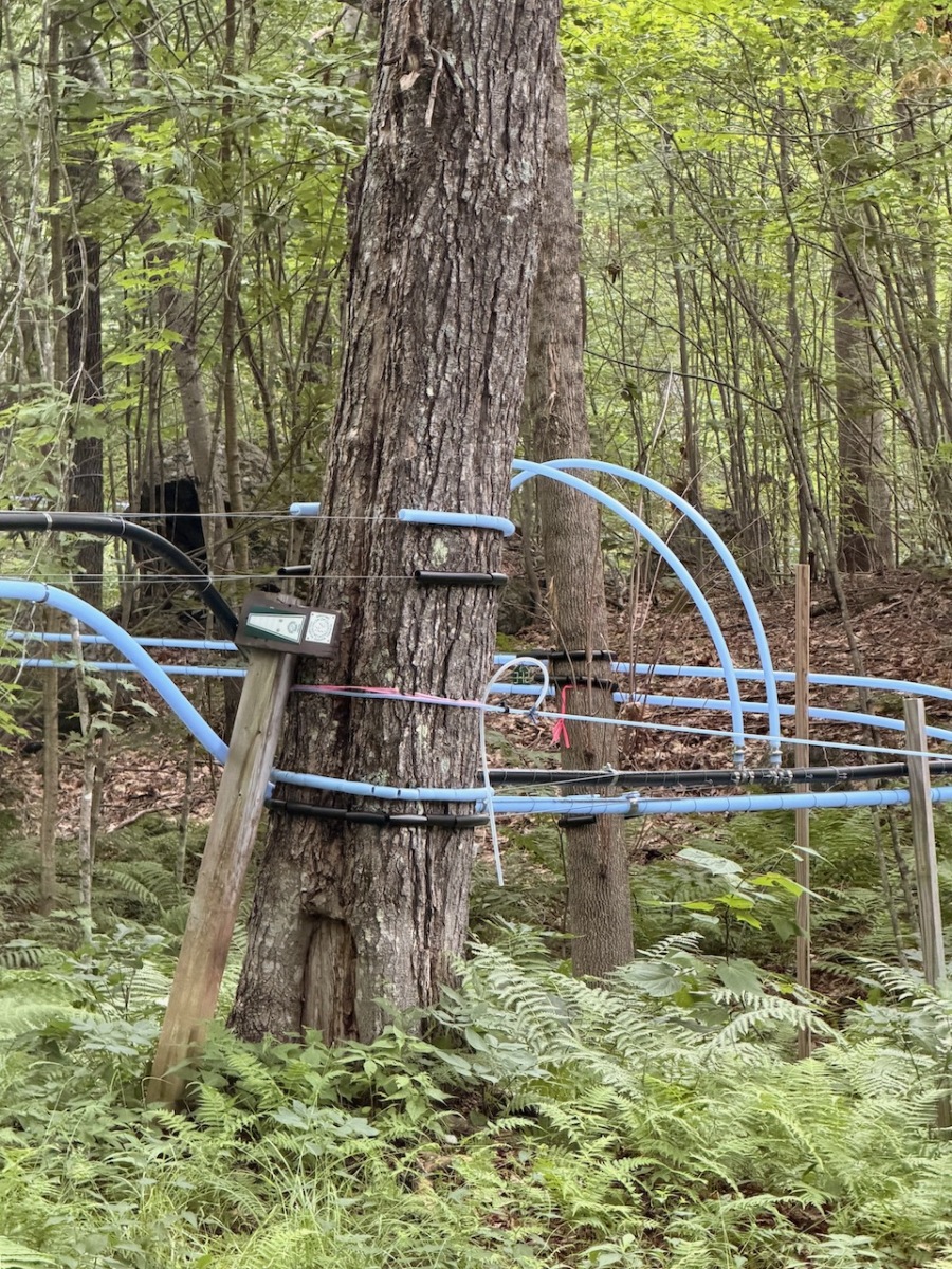
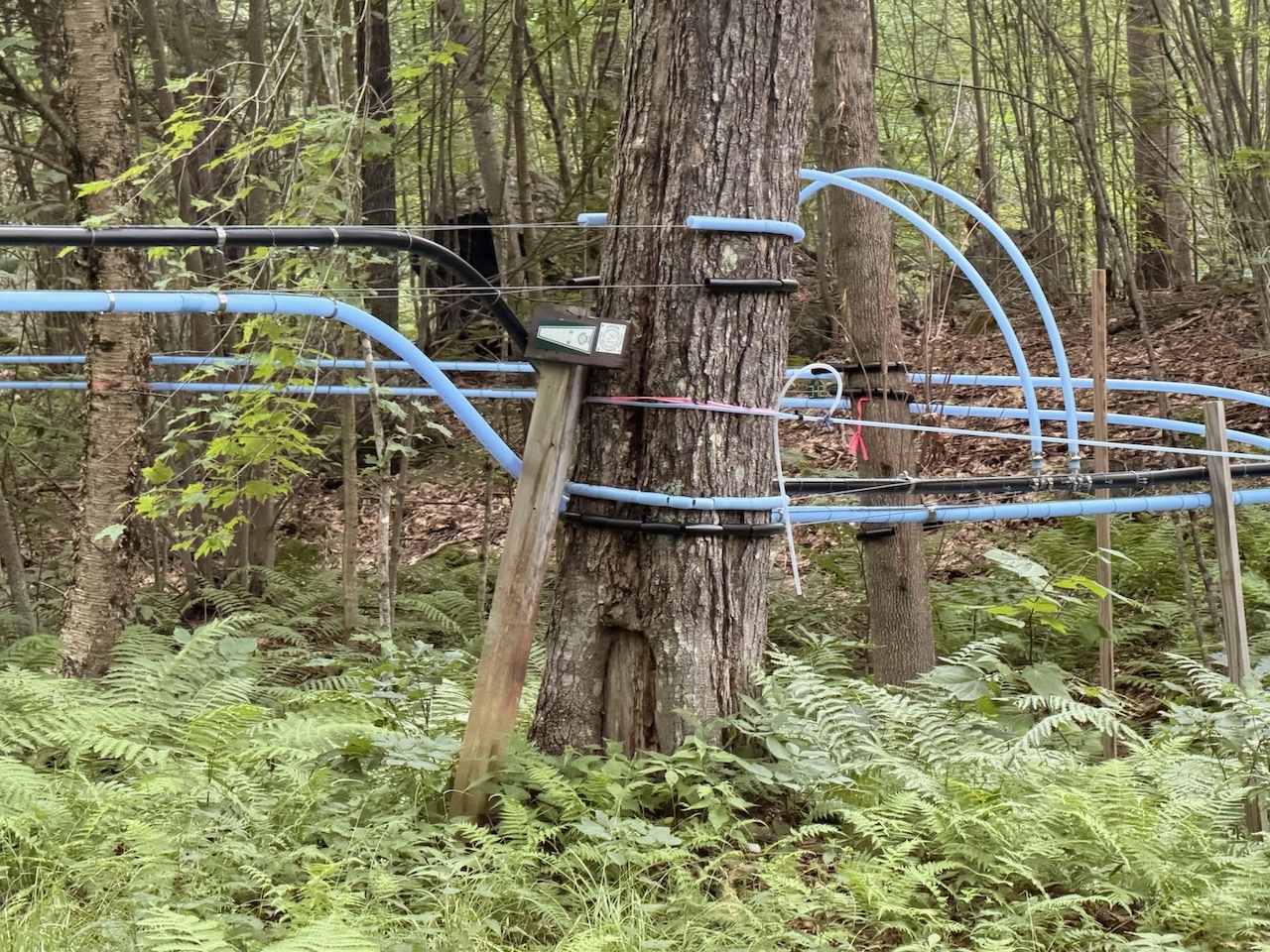
Then the trail goes through a large maple grove tapped for maple sugaring. This is industrial quality network of maple sapping lines. Everywhere. Lots of ducking under the lines.

Lots of maintenance roads as well. In fact, I found myself off trail after unknowingly started following one. I looked at my GPS and saw where the trail was, so I started to bushwhack toward it.

When I got to the area the trail was supposed to be, no trail. So I continued to bushwhack the trail line on my GPS and eventually found the real trail.

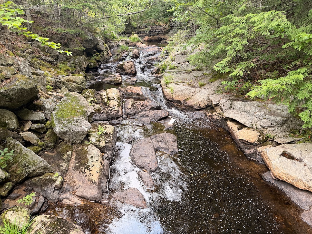
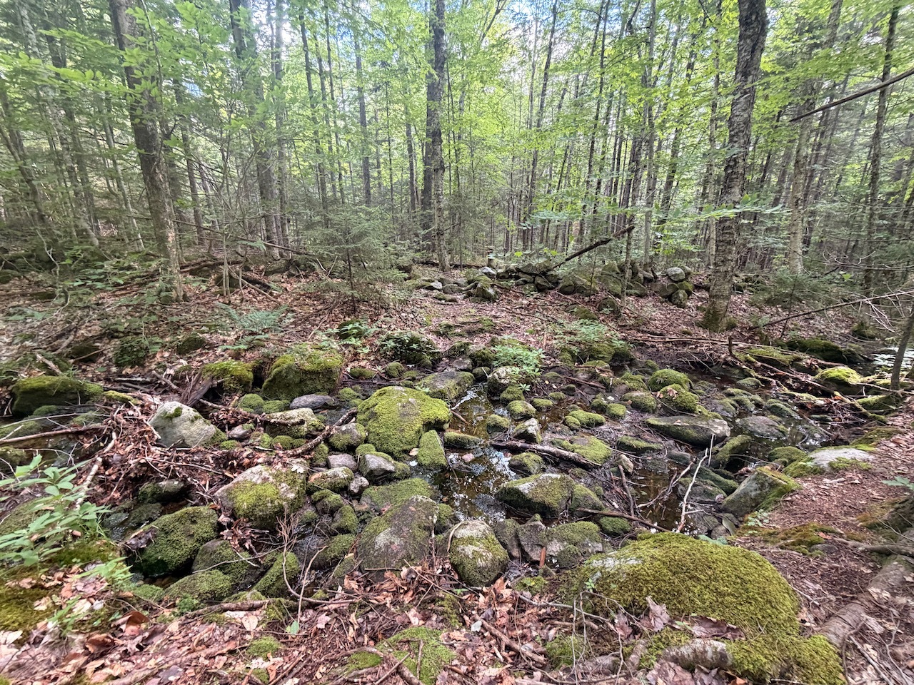
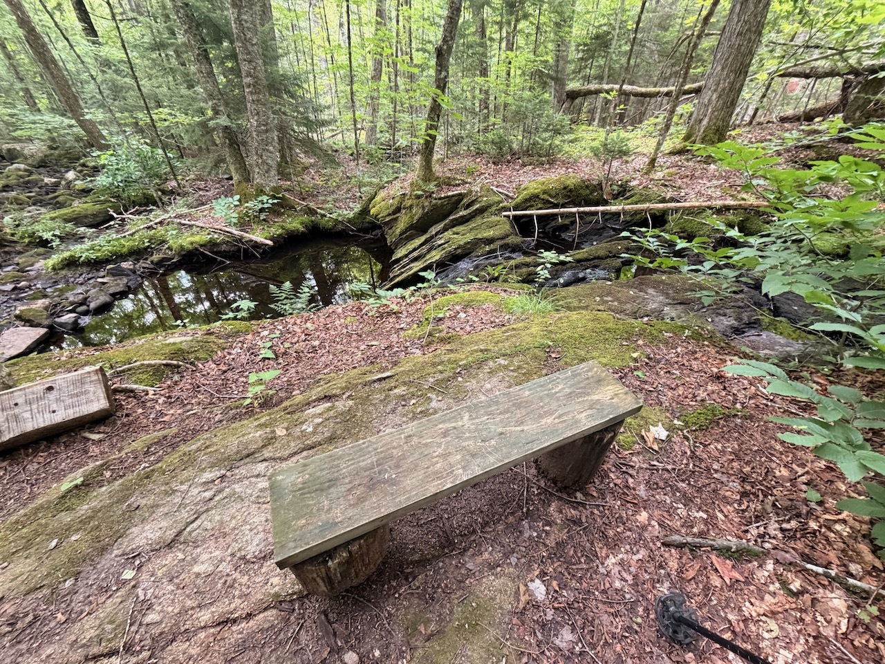
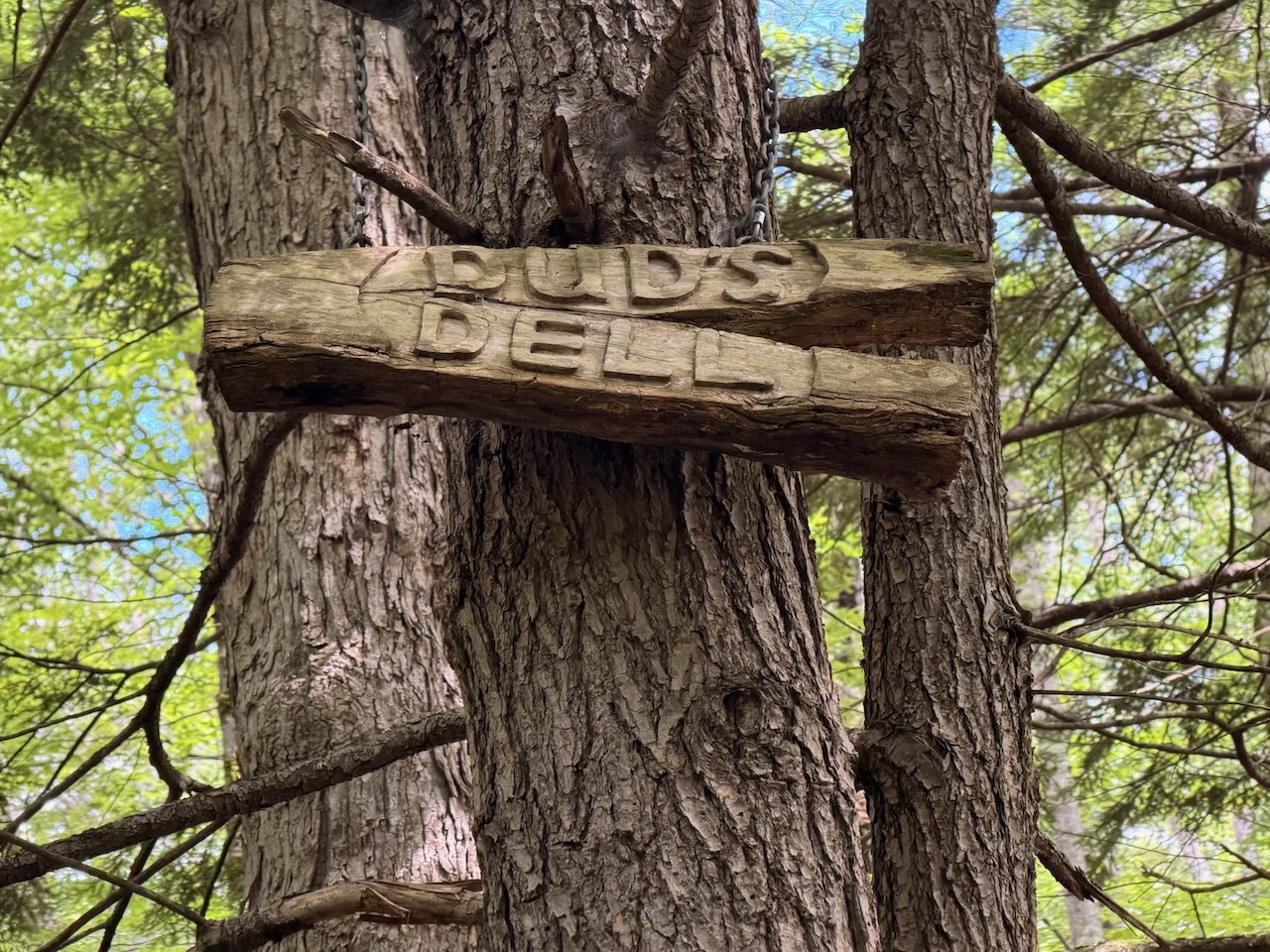
Then I came upon a nice sitting area with some large boulders and streams called Dud’s Dell. If the water was flowing more, it would have really been beautiful.

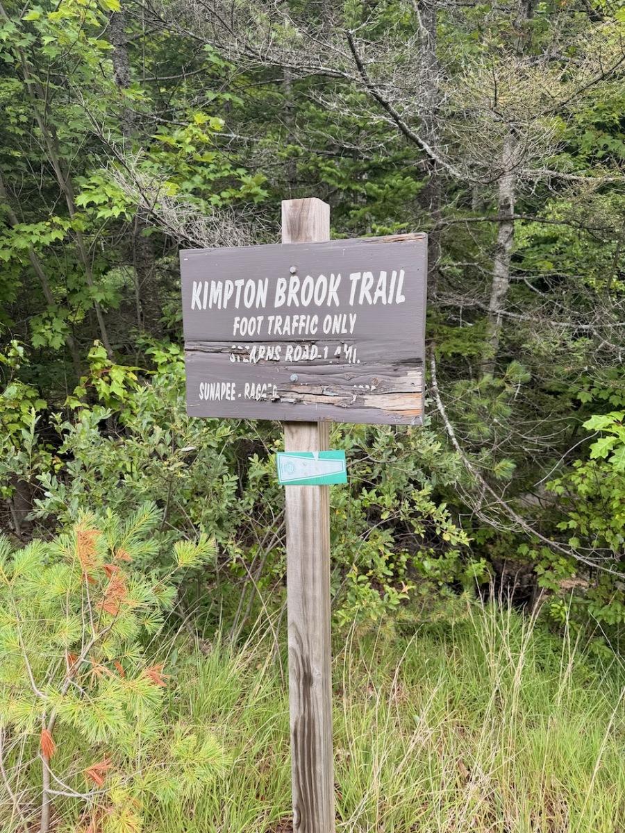
From here the trail goes by a marshy pond and then eventually crosses Stearns Road and starts to climb.

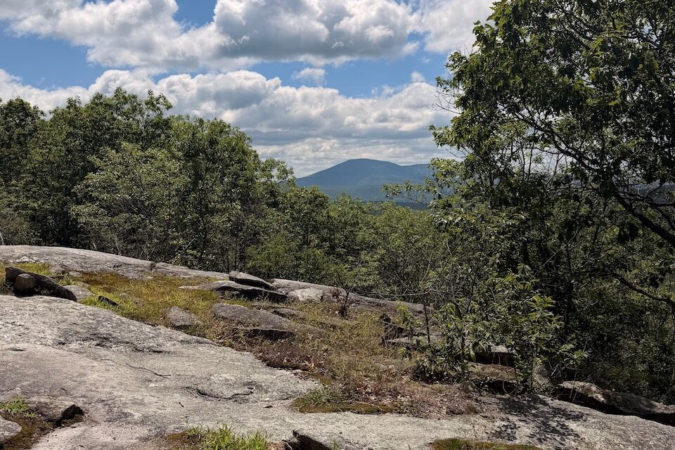
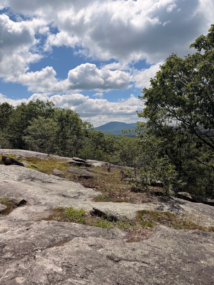
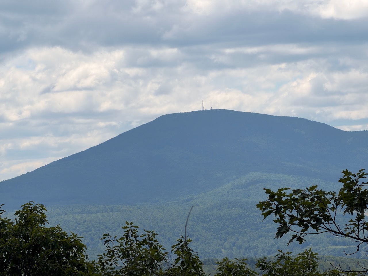
The trail is very easy/moderate the whole way as it climbs diagonally up the slope to the first view point. There is a nice view of Kearsarge through the trees.

Continuing on, the trail flattens out a bit before it gradually starts to climb again through the woods.

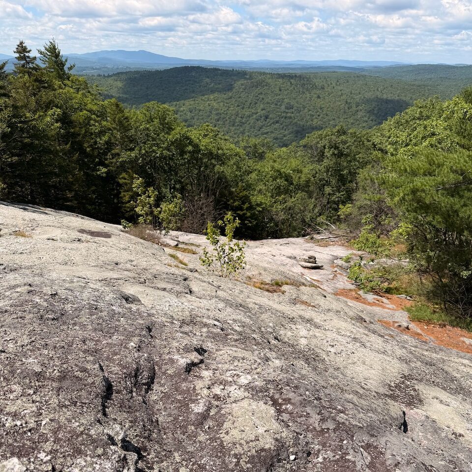
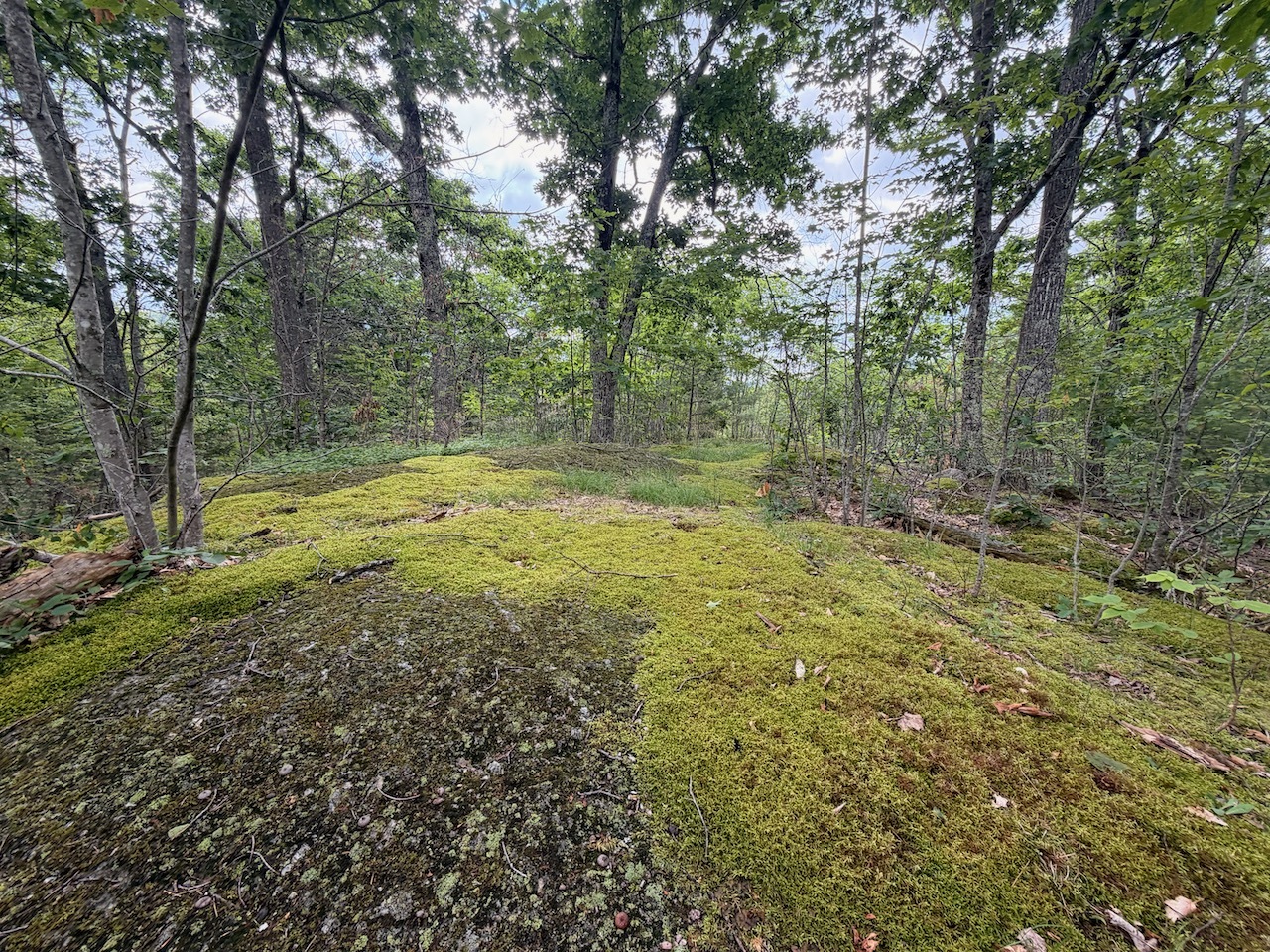
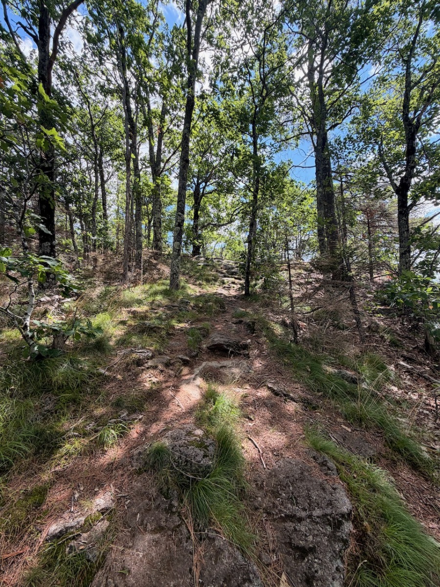
When I got to the last push to the summit, I came out of the woods and saw this big rock mass that seemed to go straight up. Fortunately, the trail did not and angled up.

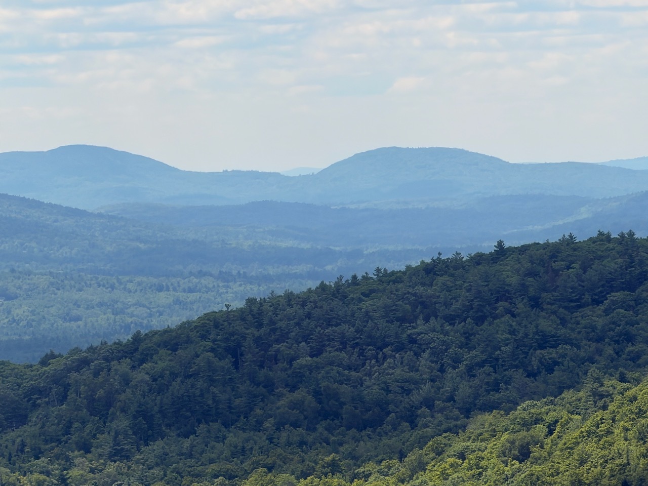
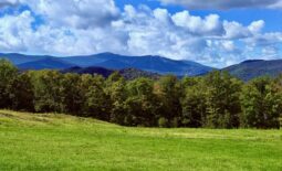
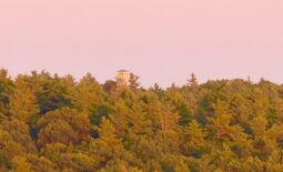
Once on top of the big ledge, I saw a small library on top and a nice bench. There are full 180-degree views of Mt. Sunapee and surrounding areas.

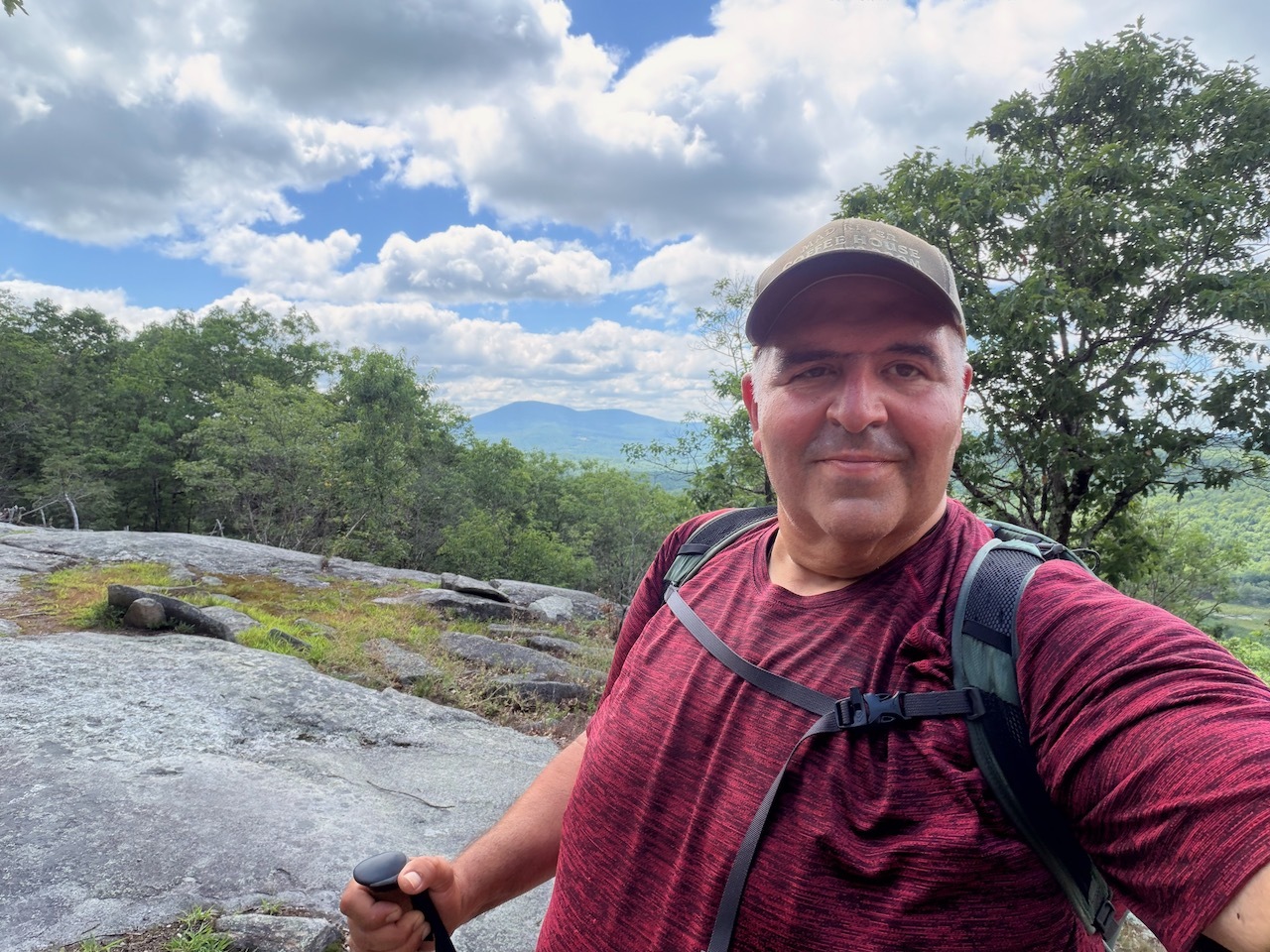
A little further up the trail is the high point and what I’m calling the official summit. After a nice break and a lot of photos I started to make my way down.

When I got back to the trail head I decided to take Stearns Road back down. There are lots of flowers and some good views of Bog Mountain from the road.


When I got the to the intersection I had to walk along Rt. 4a for a about a half mile. Road walks are not my favorite, but I made the best of it.

Really great hike. I’m looking forward to climbing it again from the other side.