Octoberfest from Pitcher Mountain to Route 9 on the M-S Greenway
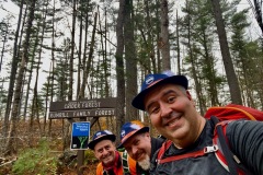
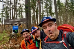
The weather forecast called for cloudy skies and some rain mid-day but that didn’t matter. We had German Alpine hats and suspenders.
You read that right. Some friends and I set out on an Octoberfest hike down the Monadnock Sunapee-Greenway.
We dropped one car off at the MSG parking along Route 9 in Nelson New Hampshire. Then we all met at the Pitcher Mountain Trail head. We were lucky to have some parking at this lot. After strapping on our suspenders we headed across the street and started heading south.
| Date: | 10-25-2020 |
| Location: | Stoddard and Nelson, NH |
| Distance: | 7.5 mi |
| Elevation Gain: | 740′ |
| Total Time: | 6 hr 3 min |
| Parking: | 10+ cars |
| Difficultly Rating: | Moderate |

The Pitcher Mountain trail head is the highest point of this trip. This trail had a good amount of ups and downs but we would still decent 1,220’ and only climbed up 700’.
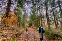
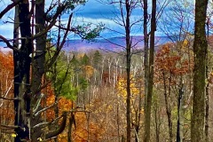
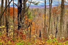
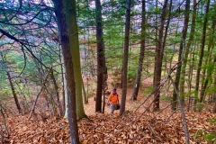
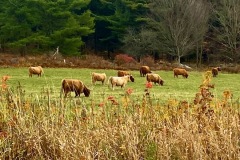
The trail changed quite a bit along the hike. One minute we were along an open field and the next minute walking through tiny evergreens. We followed roads, trails, non-rails and “road-ish trails.
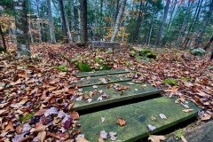
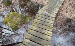
Soon we came upon the Robinson Brook. The rocks around were all covered in moss. It was kind of a moss like wonderland. As we moved along we came to Robinson Brook Cascades. New Hampshire is in a drought this fall but there still were a few small waterfalls and some cascading water. I bet that in the spring the water would be flowing a lot more.
We continued along and the trail started to turn into a small rugged road as we passed some residences. Soon the road became more like a regular dirt road. Road walks always seem to tire our my feet faster than the trail does. So when we saw a trail marked on the GPS that would cut out a section of road waking we decided to try it.
We soon found out this was not a “real” trail. We followed the track on the GPS and came upon small sections of things that resembled a trail but no real trail. This Bavarian bushwhack may have been a snowshoe trail in the winter or something but not in the other seasons. We finally made it to an old logging road and were back on track in no time.
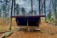
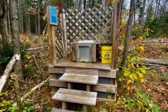
Soon after finding our trail we came to Crider Shelter. The shelter was the middle of our trip. We took a coffee break here and hung out for a bit. Once we were rested we packed up and started walking again.
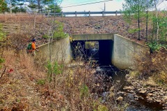
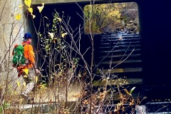
Over some more rolling hills the trail was now a rough class 6 road most of the way and we seemed to be moving quicker than the first half. As we neared the end of the trail we came to Route 9. Here the trail takes a sharp turn down a steep embankment so we could go under the busy road.
We did not have much sunshine and it did rain a little but this was a very fun hike. There were lots of laughs and a good time was had by all.
