Parker Mountain – Strafford, NH

| Date: | 11-07-2023 |
| Location: | Strafford, NH |
| Distance: | 3.3 mi |
| Elevation Gain: | 542 |
| Total Time: | 3 hr 5 min |
| Parking: | 5-6 cars |
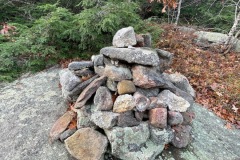
Parker Mountain in southern New Hampshire has been on my short list for a while. This mountain has a lot of interesting features that include an old mica mine, a plane crash site, and a very large and cool summit cairn.

I had done a fair amount of research for this site in regards to the plane crash site. There is not much information about its location. Just a few clues in some other posts.
When I set out to hike Parker I intended to find all these features but that was not in the cards for me that day.

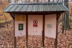
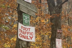
I parked at the trail head off of Rt. 126 in Strafford. This is where the Spenser-Smith trail starts. Just as I was about to start heading up, I noticed a beautiful white dog barking at me with no owner. As I got closer he started to run up the trail a bit and would stop and bark again. No sign of the owner still.
This went on for a ways up the trail. I was starting to worry that something had happened to the owner and the dog was trying to lead me to them. After a bit more hiking the dog took off up the trail just out of site. I could still hear him barking.

At this point the trail is starting to get steeper and I soon I heard a human voice and saw the dog with a women. I asked if she was the owner, she said yes. She said she was on the lower trail and her dog, who was named Moose, took off up the mountain. Got on to my trail and ran down to the bottom where he met me.
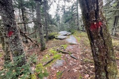
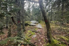
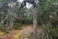
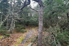
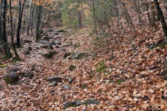
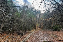
We chatted for a bit and then I continued up the mountain. This part of the hike is a pretty steady climb up to the ridge. Once I got to the top the trail flattens out and continues along the ridge.

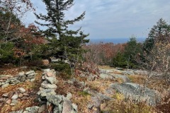
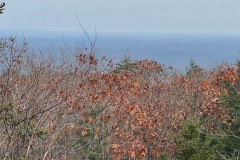
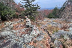
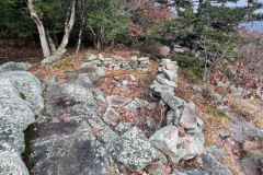
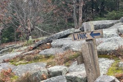
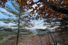
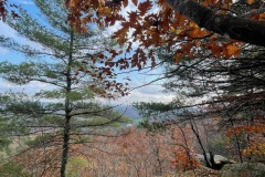
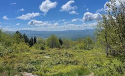
I soon came up to a viewpoint where the Blue Link trail intersects mine. Here is there a stone structure with a firepit and several interesting cairns. This was a good spot for a quick break and some pictures.
I continued the Spenser-Smith trail to the Parker Summit. Once I got there the first think I noticed was the large, 8-10 foot high cairn. There are a few other trails that lead to this summit.

After a few pics I decided to head back along the ridge and search for the plane crash. The only info I had was that the crash site was located on the north slope of the mountain. So I made it back to the north end of the ridge and started to bushwhack down.

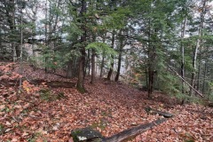
I came across some old stone walls and a lot of bolders and small cliffs. But no plane wreckage. I think I was pretty close but daylight was burning and I didn’t want to get stuck off trail in the dark.
I had descended quite a ways from the trail and it looked much shorter to bushwhack my way out staying at the elevation I was at. So I made my way back, slowly, looking the whole time for any sign of plane wreckage. Nothing.

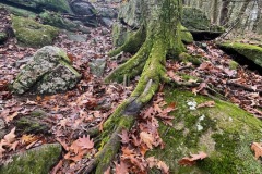
I got to a point close to the parking lot where I had to go down a rocky ledgy raving. There were a lot of leaves that have fallen, so I was careful to not fall in to a rocky hole.
Once at the bottom of the ravine I was able to quickly find the main trail and was pretty close to the parking lot. It had just started to rain a bit and it was going to get dark soon, so I skipped the mica mine as well. I’ll be back another day. Overall a fun hike.

