Parker Mountain Plane Crash Site and Mica Mine

| Date: | 12-2-2023 |
| Location: | Strafford, NH |
| Distance: | 1.77 mi |
| Elevation Gain: | 333′ |
| Total Time: | 1 hr 53 min |
| Parking: | 4-5 cars |
A few weeks ago, I hiked up Parker Mountain in Strafford, NH. While I was there, I was also looking for the site of an old plane crash back in 1943. But daylight was running short so I decided to come back another day.
So after a bit more research and consulting some friends, I realized I was looking on the wrong side of the mountain for the plane crash.

Snow is predicted in the next few days and I wanted to visit these sites before they are covered up for winter. Today I decided to go out and find the mine and the crash site. Thankfully, this time my intel was spot on for both.
I started at the Spencer-Smith trail junction on 126. I decided to explore the mine first. From the trail head I had to walk down the road about 200 feet and then go over the guardrail. It looks like a water drainage but it is in-fact a trail and maybe even considered a road.

I followed this down a way and soon the trail takes a sharp left and goes over a stone wall. I continued on. The trail soon takes a turn to the right. It is pretty muddy in some areas. I dropped a little in elevation but was soon at the top of the mine.
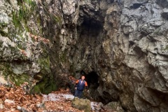
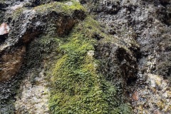
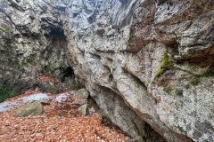
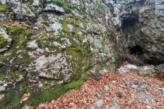
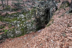
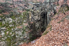
As I walked around the rim of the mine, I noticed a lot of dug holes and mica everywhere. It was pretty cool.

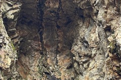
I climbed down to the opening of the mine. This mine is not a shaft or a hole, instead it is just cut into the side of the mountain. Temperatures are in the mid 30’s but in the mine, there was ice and it was falling to the ground. So, I did not go in to deep.
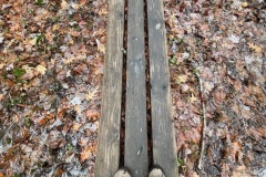
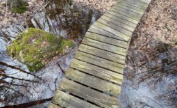
After a few pictures I headed back up to the trail head where I parked. From here I continued on up the trail. Went over the bog bridge and past the kiosk and up the trail to about 1000’ in elevation.

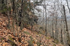
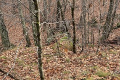
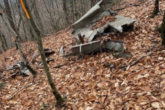
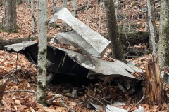
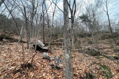
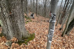
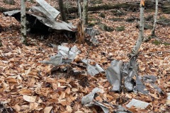
From here I figured I would bushwhack away from the trail. I tried to say at that elevation but the terrain is rocky and cliffy in some spots. So lots of ups and downs. I finally reached a look out near the near where my direction said the site was. After a bit of looking, I spotted two large pieces of metal and some survey flags. This was the spot.
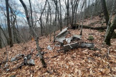
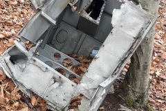
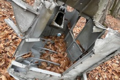
I worked my way down from the look out and made my way to the crash site. I was thinking about the small twin engine plane that went down in 1943. I’m looking at the same metal that w as in that crash that killed all three on board.

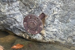
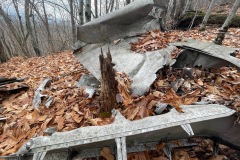
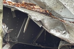
It was kind of a sad feeling standing there. I looked around and wondered if any of the trees that were involved in the crash were still there. I walked around the wreckage and took some photos of the metal that was left.
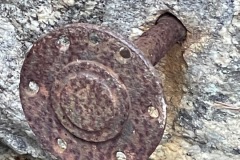
There were two large pieces of metal. I heard there might be three there but I didn’t see any others.
It seems like people approach this site in different ways. I came to from the main trail and tried to follow the elevation of the crash site until I could see it.

Others seem to think it is easier to come from the trail below the site. Many seem to come right down from the top and they all say that is not the best way due to the cliffs and steepness.
I took a slight detour on my way back to the trail. The terrain looked a little easier but I soon found myself in a boulder field covered in leaves. This made it very hard to tell if I was stepping on something solid or into an ankle twisting hole.

This section was very slow going but I eventually made it back to the trail where I started the bushwhack. By this time the sun had come out and many of the clouds had gone away.
From here I made my way back down the trail. Soon I was back at my car and ready to head home. The whole trip was not long or far. But I felt that it was extremely interesting.

