
| Date: | 4-22-2024 |
| Location: | Stoddard, NH |
| Distance: | 5.49 mi |
| Elevation Gain: | 513′ |
| Total Time: | 3 hr 43 min |
| Parking: | 1-3 cars |
Stoddard Rocks is a fun hike in Stoddard, New Hampshire with lots to see. The trail was done in a lolly-pop loop that included lake views, an old mill site, and some amazing glacier erratics.

My friend Melissa and I were looking something local with a little history and a bit more than just a hike with a view. Also, something neither of us had done yet.
The forecast was for sunny skies and temps around 50ish degrees. Perfect weather. Parking at Pickerel Cover trail head is located on Shedd Hill Road. There is room for maybe three cars if everyone parks considerately.

We started up the trail to the main Kiosk. We stopped for a quick photo to document then continued. Soon after we met up with a couple of dogs, their owner was not far behind. We chatted a bit and he let us know there were a few blowdowns along the trail and a lot of blowdowns on the Unmaintained trail.
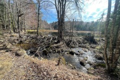
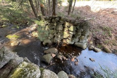
We soon arrived at Dodge Farm Road junction and continued toward Pioneer Lake and Stoddard Rocks. At one point we passed a large beaver dam. After another .3 miles we were at the base of the Lake. Down below we saw a structure that looked like an old mill.

We walked through the structure, and it seems like a mill with a gap for a water wheel the stream flows through. We took a few more pictures of the structure. From the base of Pioneer Lake, you can see the hill Stoddard Rocks sit upon.
We decided to do the loop counterclockwise and start the loop with the Unmaintained trail around the lake. We were warned about lots of blowdowns, but the trail seemed pretty tame at this point. As we hiked on we were going through some mud and the trail started to turn into a brook. But only for a short distance.

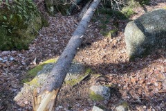
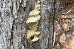
There were a lot of blowdowns, but they were easily walked around or over and sometimes under. We saw an old metal bottle someone put on a tree. This tree also seemed to have a long talon, like an eagle! So of course we needed a pic.
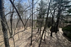
The Unmaintained trail follows the contour of the lake all the way around to the start of the hill. We reached the Stoddard Rocks South Trail that takes us up to the summit. The incline is easy to moderate in some spots, but it is not very long.

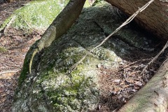
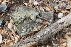
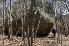
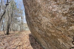
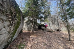
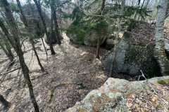
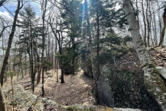
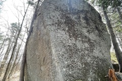
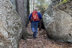
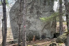
Near the summit we started to see some large rocks but when we got to the summit there was no mistaking these enormous glacier erratics. Stoddard Rocks. Some of them are 30-40 feet high.
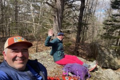
We explored these mammoth rocks and climbed up on one and took a quick brake to enjoy the scenery.

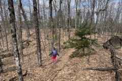
After our break we went down the Stoddard Rocks West Trail. It started out a bit slab-y and I had to watch our footing for a little ways. Of course there were blowdowns all along the way. At the bottom we reached the loop junction and continued southwest toward the Dodge Farm Road junction.

The trail is wide and somewhat road like to the junction. On the way up we came across some of the old tree shells that have been burned out from the 1941 Stoddard-Marlow fire that burned through the area. These tree trunks were very large, you could still see the blackened wood on them.

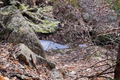
The trail started to level out near an old apple orchard. There are still some skeletons of the trees standing but most did not look alive. Near the junction there was an old foundation with a well next to it. We pulled the lid off to see if it still had water and it did.

We decided to hike up a bit further on the Dodge Farm Road to the high point then tuned around. Once we were at the junction we deiced to take another Unmaintained Trail down. This one had a bunch of blowdowns. But still easy enough to get around.

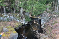
It took us by an old pond and swamp which involved a small stream crossing and a rock hop. Then we climbed back up to the Pickerel Cove and Dodge Farm Road junction. From here we were only about .3 miles back to the car.

On our way back we passed two other people heading in for a hike. We hadn’t seen anyone since the very beginning of the hike. If you are looking for something different in southern New Hampshire I would recommend this hike.







0 Comments