Lonesome Lake Loop Via Basin Cascade Trail

| Date: | 6-28-2024 |
| Location: | Franconia Notch, NH |
| Distance: | 7.17 mi |
| Elevation Gain: | 1292′ |
| Total Time: | 1 hr 18 min |
| Parking: | 20+ cars |

I got a later start then I had intended to. I didn’t get the Basin parking lot in Franconia State Park until 10:30am. But that was fine. I was not on any time schedule. My plan was an out and back up to Lonesome Lake via Basin Cascade trail.
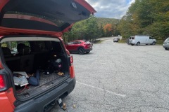
The weather was mostly cloudy, but the sun did peak out as well. Temps were perfect for hiking with highs in the low 70’s. The parking lot was pretty full but I was able to find a spot. In-fact all of Franconia State Park was busy. The leaves are starting to change and the tourists are coming to see them.

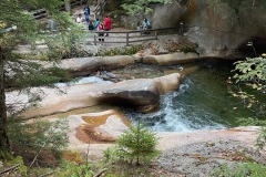
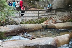
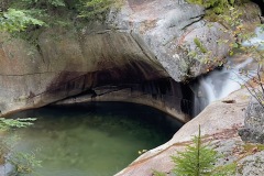
I started out and checked out the Basin waterfall. Lots of people taking pictures so I did not stay to long.
I started up the Basin Cascade Trail. This follows a flowing cascade of water most of the way. There were lots of hikers, people fishing and others just out enjoying a little nature.
I stopped at many of the outlooks to see the falling water. It was all very pretty. I stopped at Kinsman Falls for a few pics. For the most part the trail was moderate, but lots of wet rocks and roots.

I continued up a bit, and the trail got a but muddy. Then it got very muddy, My foot sunk down to my chin. I made my way forward with heard paths around the mud before I realized I missed the trail where it crossed the river a quarter mile back.

The river crossing was a little tricky and took some balance and steady feet but I was able to make it across dry. From here the trail starts to climb a bit more. It follows the brook with lots of small waterfalls and cascades.
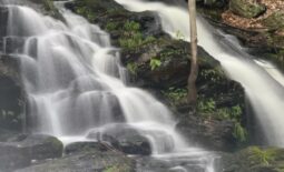
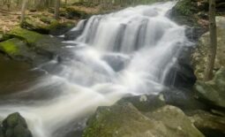
Soon I was at Rocky Glen Falls. This was my favorite waterfall on this trail. When I got there the water was flowing pretty good. So I grabbed some pictures and continued on.

When I reached the junction with the Cascade Brook trail, which is part of the Appalachian Trail, I was faced with another water crossing. Where the trail crossed looked a bit tricker then I was willing to attempt so I made my way upstream with some easier crossing options.

At this point, I decided I did not want to descend this trail like I originally planned. There were to many opportunities to slip and fall. I still had the option to go down the Lonesome Lake trail and walk the bike path home.

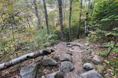
Once across, I continued up the trail. This trail was much more rugged then the previous. Lots of we rocks to walk over and around. The incline had also increased. Especially the last little push up to Lonesome Lake.


Once I was at Lonesome Lake, I sat down with some other hikers for a bit and then went up to the hut. While looking at a map and saw the bike path was about 2 miles. Even though this route was much longer than the out and back. I felt I could move faster than I would going down the way I came.

So, I filled my water and set out down the Lonesome Lake trail. This trail is steep but very sturdy and easy to climb down. I made it down to the Lafyette campground in less than an hour. I thought about asking some hikers for ride to the Basin parking lot but decided it was best to hike myself out. After all I was not on a timeline.

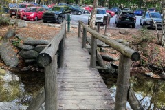
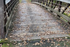
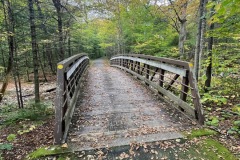
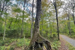
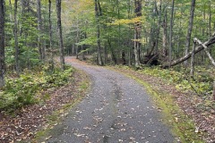
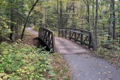
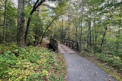
The bike path is a beautiful pathway through Franconia Notch. Lots of bridges and lots of cool trees, moss and streams etc. I took my time and a few breaks along the way but was at my car within an hour. I was so glad I decided to walk the path.


While this loop was not my original plan, I’m glad I opted to do it this way.
