Greeley Pond Trail from Livermore Road

| Date: | 10-12-2024 |
| Location: | Waterville Valley, NH |
| Distance: | 8.81 mi |
| Elevation Gain: | 1006′ |
| Total Time: | 5 hr 50 min |
| Parking: | 20+ cars |

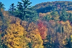
Columbus Day Weekend is always crazy busy in New Hampshire with leaf peepers from around the world. I was surprised to see this was not the case on our hike. My friend Jack suggested a hike up to Greeley Ponds from the Waterville Valley side.

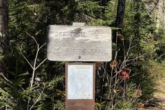
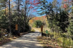
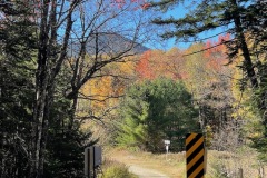
We got to the Livermore parking lot about 8:15 AM and were on the trial by 8:30ish. The lot holds 20+ cars. We took a small walk around from the main Livermore Road trail to avoid the swarms of hikers. From here we came to the large junction, crossed the bridge and were at the start of the Greeley trail.

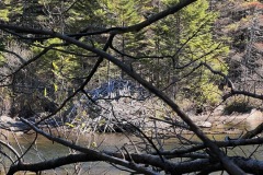
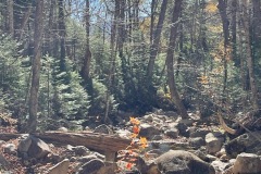
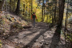
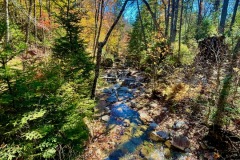
The trail starts down a large pine corridor. It is mostly flat the next mile/mile and a half. The trail runs along the Mad River that eventually makes its way down to Campton and then the Pemigewasset River.

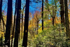
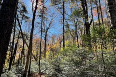
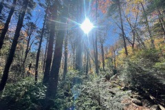
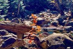
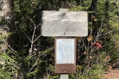
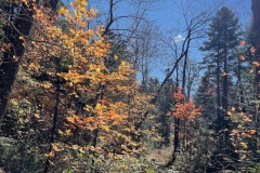
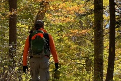
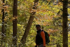
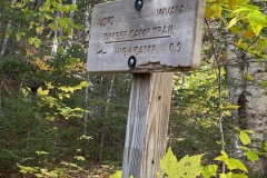
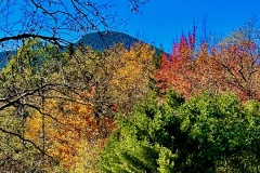
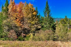
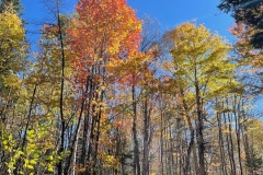
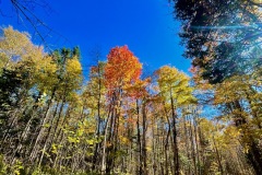
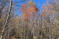
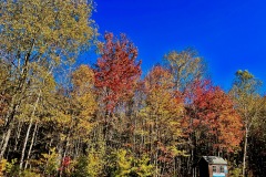
As we walked down the path the sun lit up the red, orange and yellow leaves above us. They made for some great pictures with the blue-sky background. The winds were blowing pretty well along the trail. We soon came to the Goodrich Rock Junction.

Not far after that sign the trail angles up ward with a steady but easy incline. You can notice the brook getting further and further below. There were lots of breaks to take photos. In some areas it is was like we were walking in a cathedral hall with stained glass leaves above us.

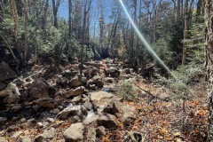
After a bit we came to the high camp trail. I’ll have to come back another time to go up there. Soon the trail leveled out and then began to drop back down about 200 feet to the river.

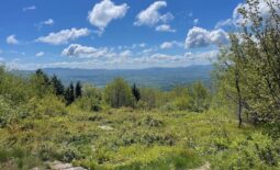
There were a few ups and downs before we got to a bridge and a junction with the Kancamagus Ski Trail. Yet another trail to check out sometime. A little further down there were some good views of the East Osceola Cliffs.

We came to another junction where we had to cross the stream to get to the Lower Greeley Pond. In about a quarter mile we were at the base of the pond. A little ways further there was a good place to stop and take some photos and have some coffee. The wind was really gusting off the water while we were there.

After our break we continued to the Upper Greeley Pond. This section of trail was a bit more rugged the previous. It was about a quarter mile to the base of that pond. We got there is was a bit smaller than it looked on the map. We took a few pics.

While we were here we heard other people for the first time. I was surprised we had not seen anyone else up to this point. Especially with the trail being such an easy stroll for so long. We started back to the lower pond and then back tracked to the car.

On the trip back we passed a hand full of people heading up to the pond. The trip back was mostly downhill and went quickly. It was interested to see the change in colors now that the sun was higher in the air.
When we got back to the main junction at Livermore Road, we looped around one of the XC trails before going to the car.

The whole trip was about 9 miles and a 1000’ of elevation but is mostly flat and easy. This is a great route to go out for a stroll and immerse yourself in the woods.
