Russell Hill – Brookline NH

| Date: | 11-24-2024 |
| Location: | Brookline, NH |
| Distance: | 3.34 mi |
| Elevation Gain: | 349′ |
| Total Time: | 1 hr 32 min |
| Parking: | 3+ cars |
Today was a dreary and rainy morning so I decided to combine a couple of small, short hikes to some old fire tower locations in Southern New Hampshire. Neither of them are still standing.
My first stop was to Russell Hill in Brookline. There is not a fire tower still standing but it was a good excuse to get outside.

I arrived at the parking location but noticed it was just a short walk up to the summit and there was another trail that would offer a better loop of the area. So I decided to go to the other parking location off of Mason Road.
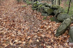
There is a pull-off and an old logging road that leads to the trail. There is room for about 4 cars without blocking the gate. There are also two large logs blocking vehicle traffic to this area.

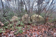
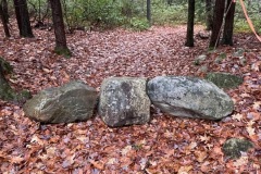
The road starts out with a small rise but is otherwise flat. Just after the small rise, I came came across a cellar hole connected to a bit of an old foundation. There were some old artifacts from the home scattered around and under the leaves.

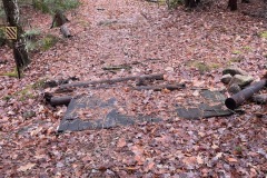
I continued a short distance further and spotted what looked like an old truck sitting in the woods about 50 yards off trail. I went to check it out and it looks like and take some pics. It also looked like this truck was set on fire and burned hot. It was a somewhat newer truck judging by the size of the melted screen on the dashboard.
I set back out on the road which has a lot of twists and turns and other off shooting trails. My Gaia app was very handy in keeping me on track.


I found the junction with the trail up the hill. It goes through a large, cleared area. The path was mowed down when I went but off to the side it was very tall. This would be thick in the summer.
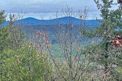
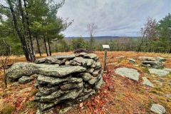
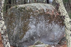
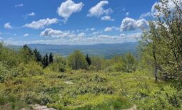
The trail is easy and steady going up just over 300’ to a lookout area. There is a large stone structure with a little wooden sign. Others have mentioned that this is an informational marker talking about the Russell Family who settled on this hill in 1757 and remained there for 9 generations. But there was no sign on this marker when I visited.

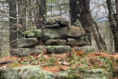
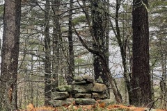
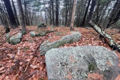
I continued along toward the wooded high point of the hill where the tower stood. There is a small cairn that marks the high point.
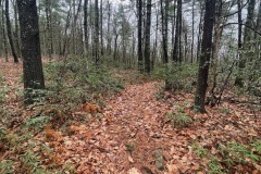
From here I followed the trail down the other side. Much of this area had been previously logged. I came to the junction of the small trail I was originally going to go up and continued along the loop.

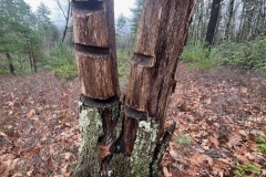
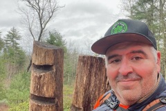
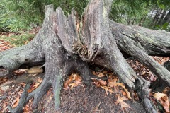
On my way down I came to another open area with an interesting cut tree. Much of this part of the trail looks like it could be very wet under normal conditions, but lack of steady rain this fall made it an easy pass.
I arrived back at the original junction that took me up the hill and continued back toward the car.
This hike had a lot to offer for such a short walk. Cellars, trucks, views, structures, artifacts etc.

