It was the last day of the festival, and our Sunday morning excursion was to take a dip in the Dorset Quarry.
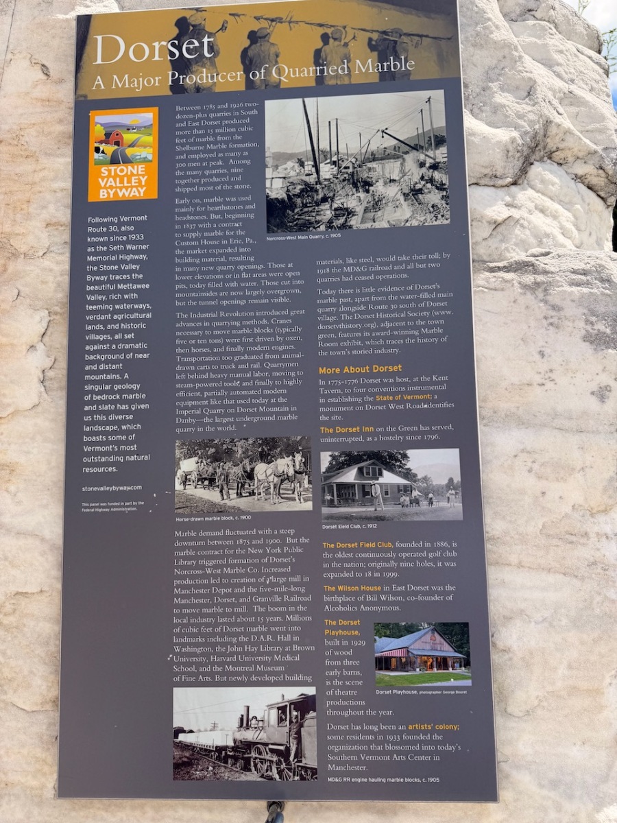
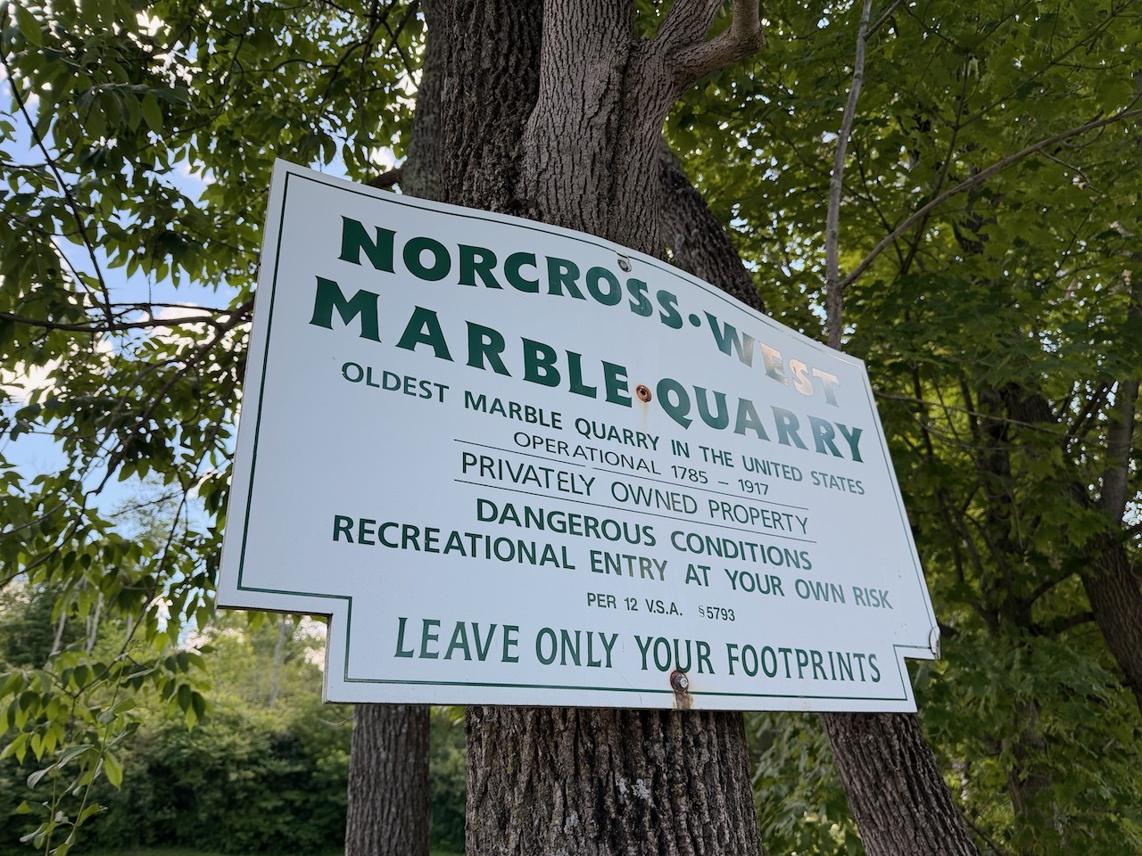
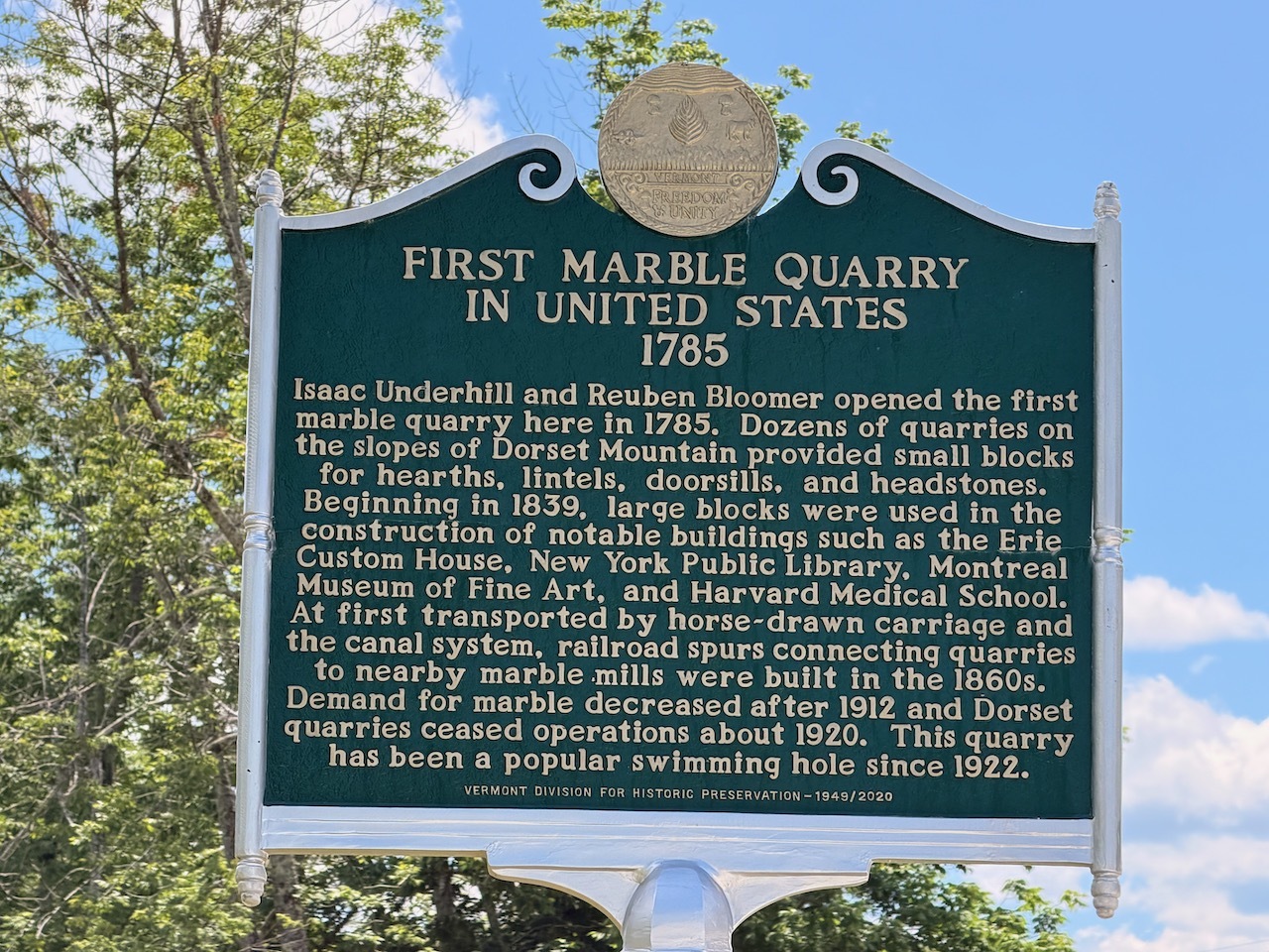
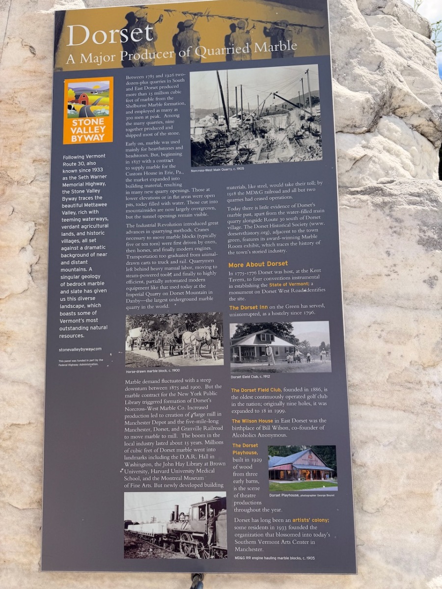
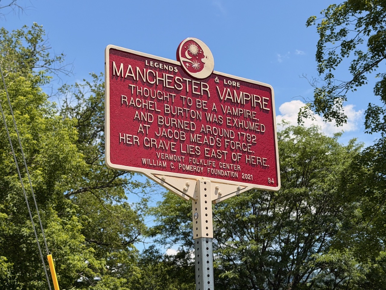
Historical marker for the quarry
It was hot and a dunk in this historic quarry seemed like the perfect way to start the day.
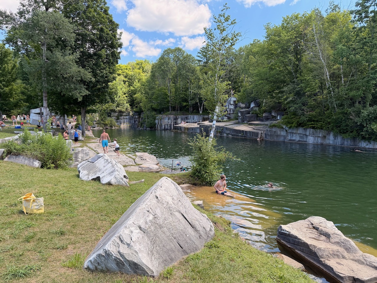
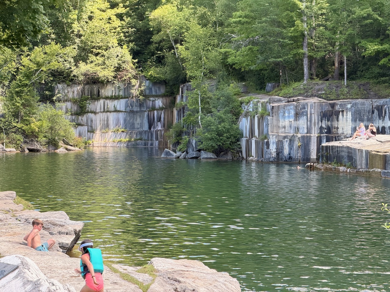
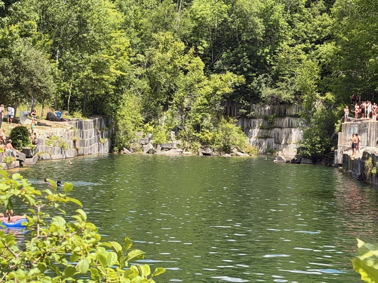
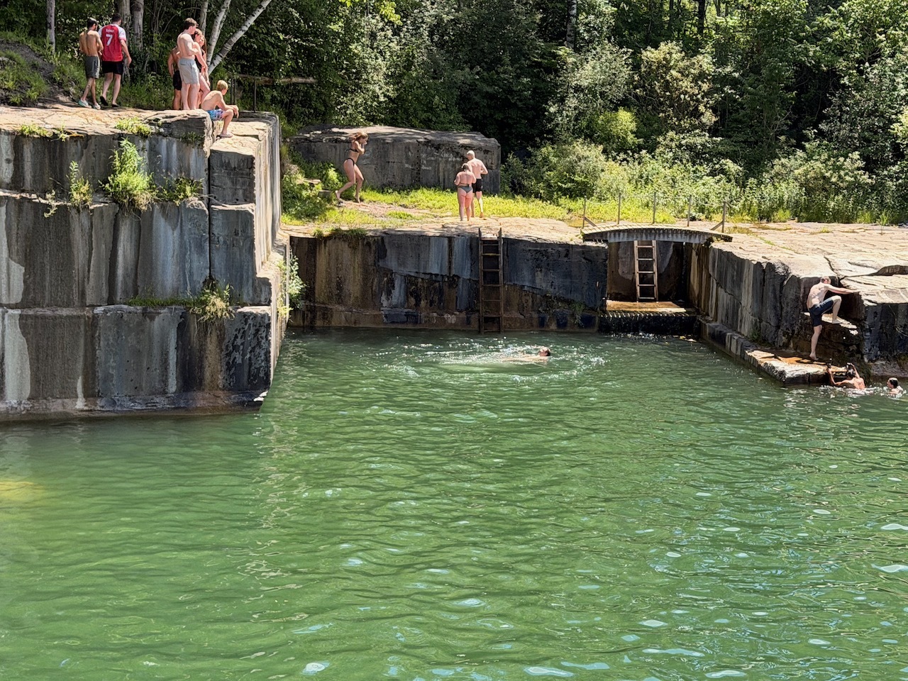
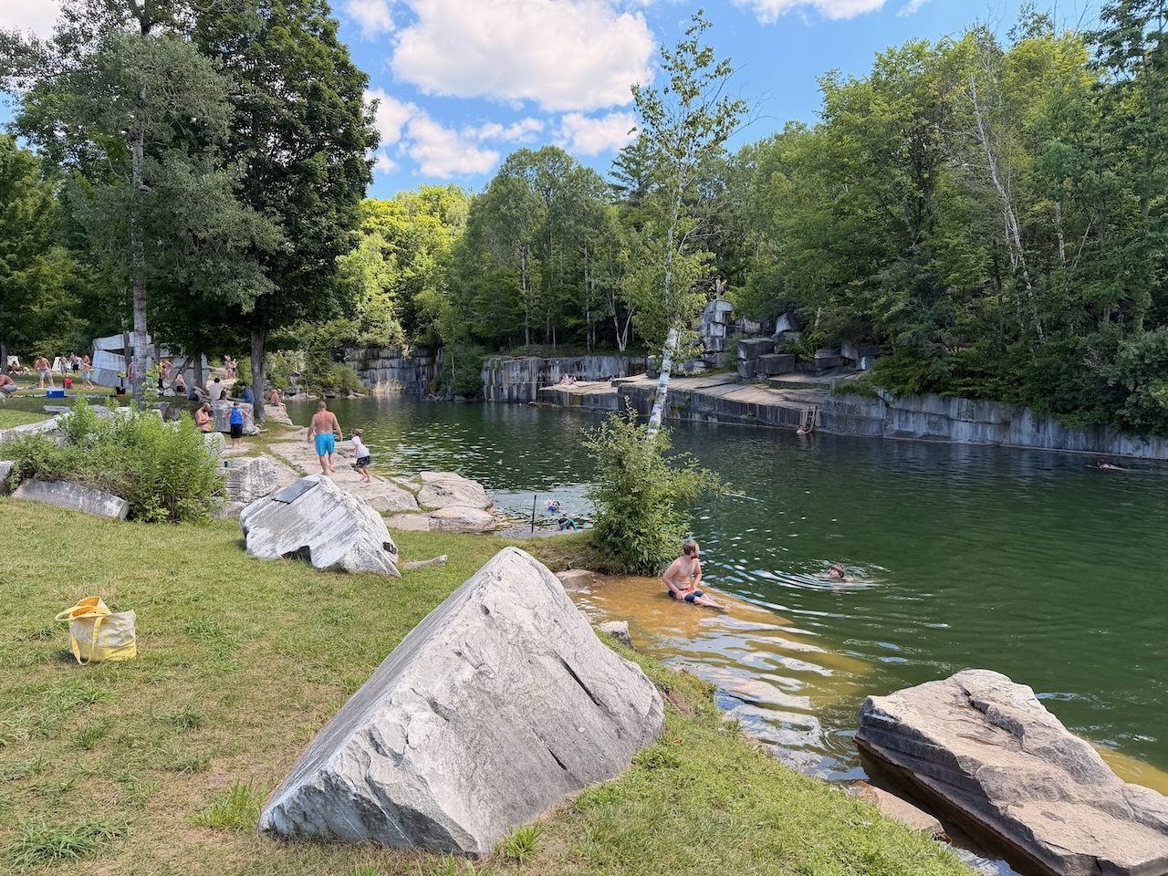
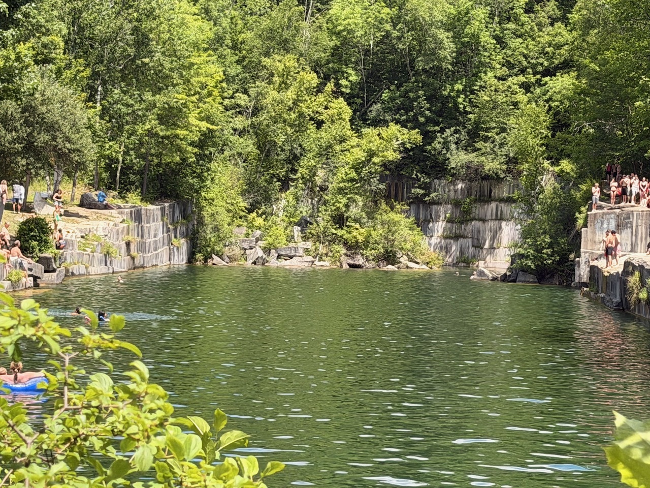
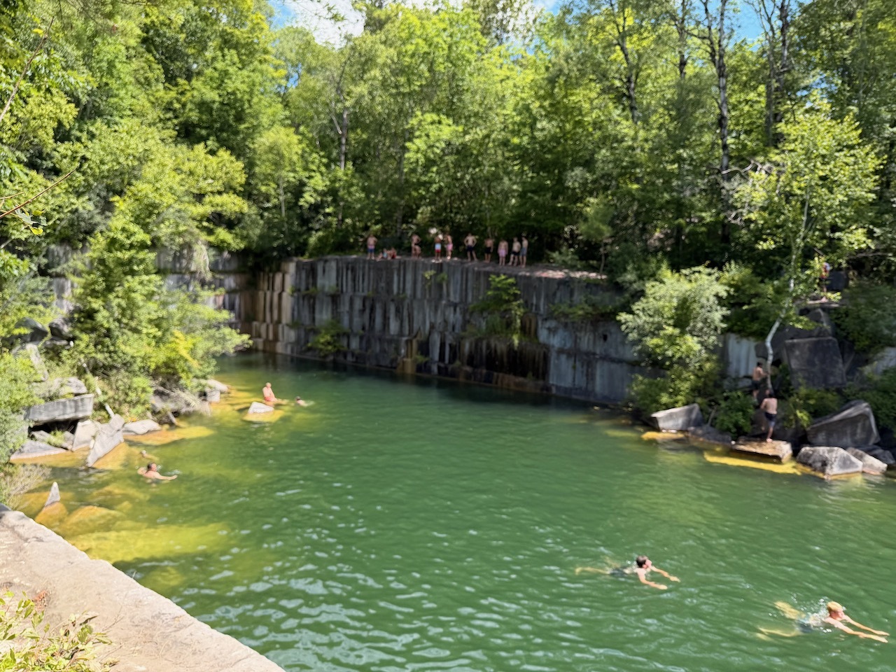
View of the quarry
Dorset Quarry is only a 15/20 minute ride up the road from festival we were at.
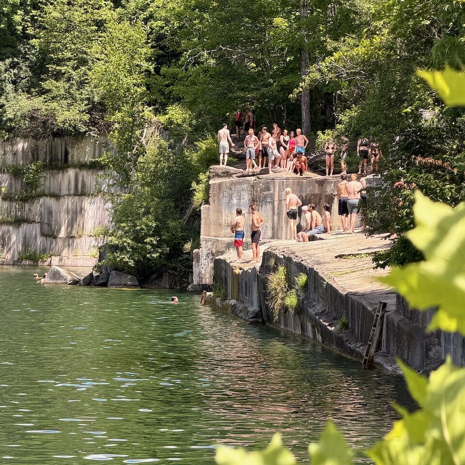
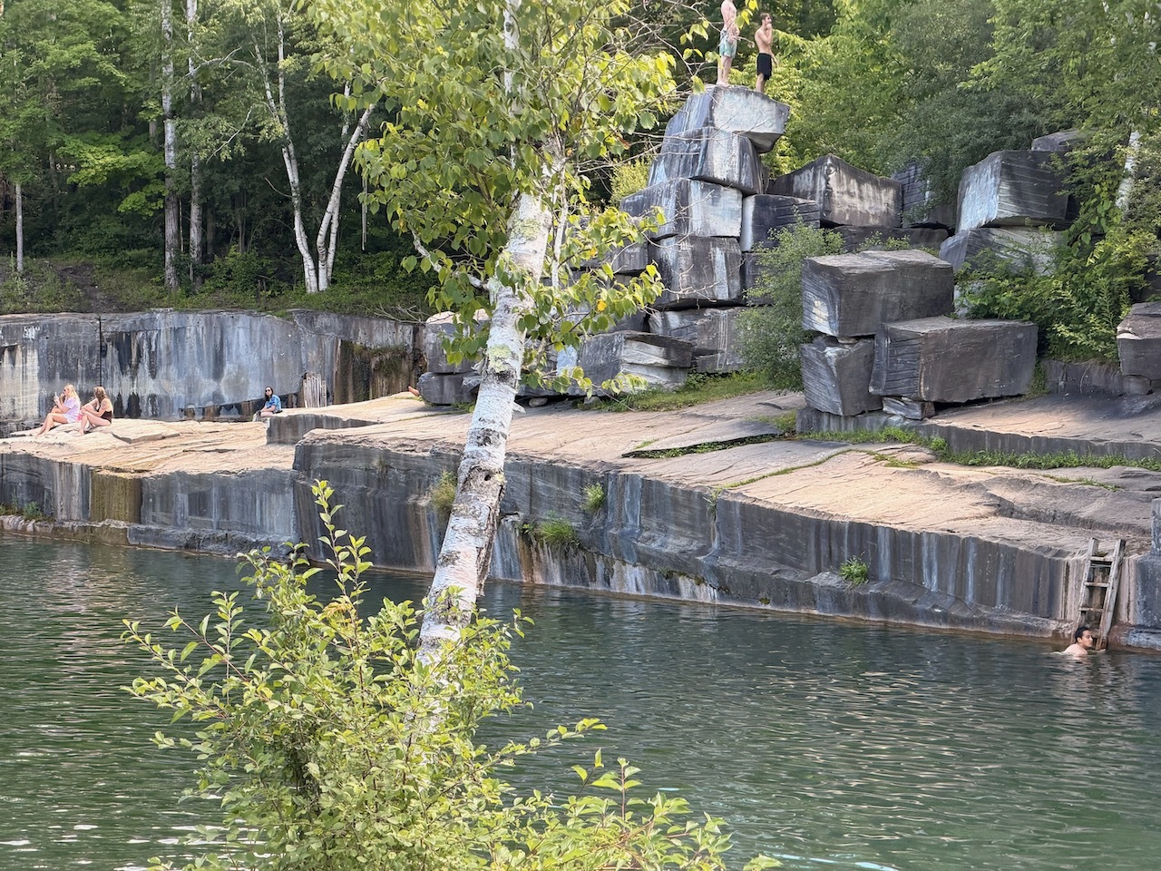
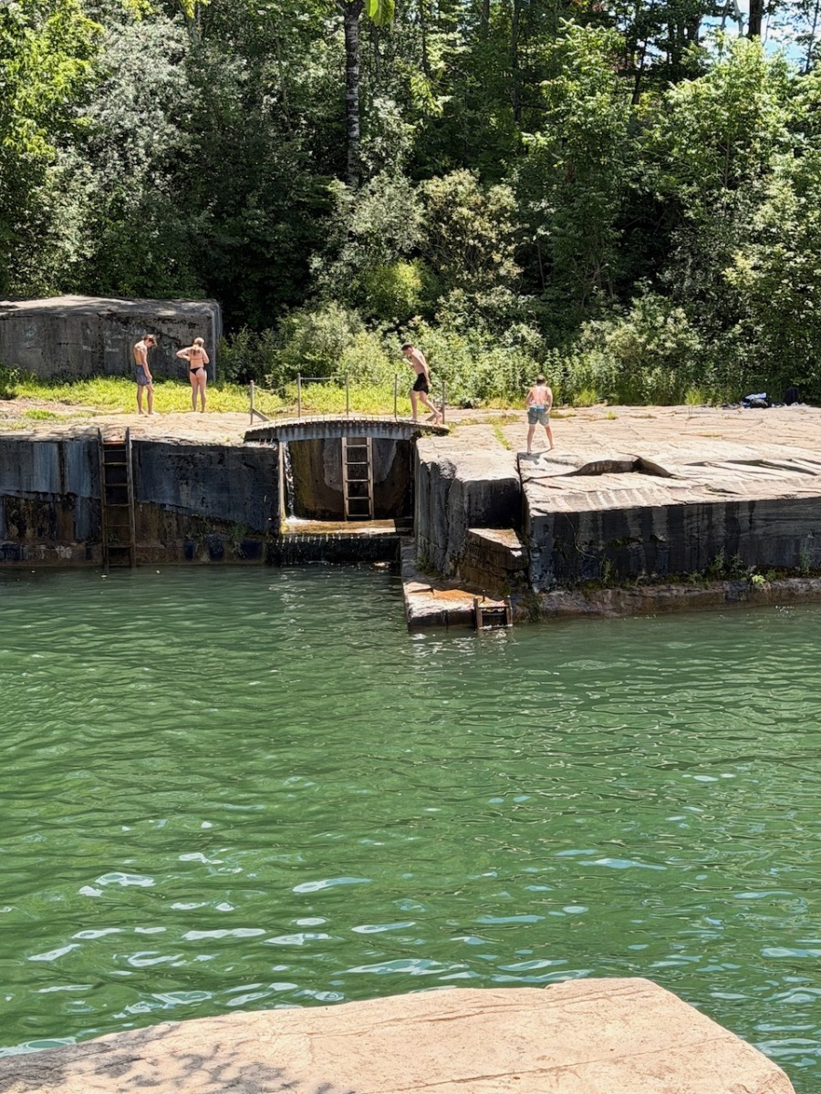
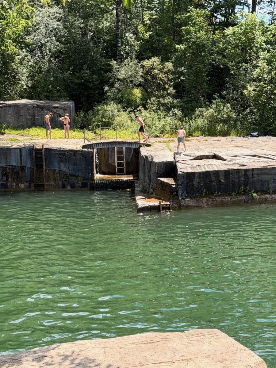
some ladders to help people out of the water
When we got there, we were surprised to see the quarry right next to the road. We figured we would have to walk in a bit but that was not the case.
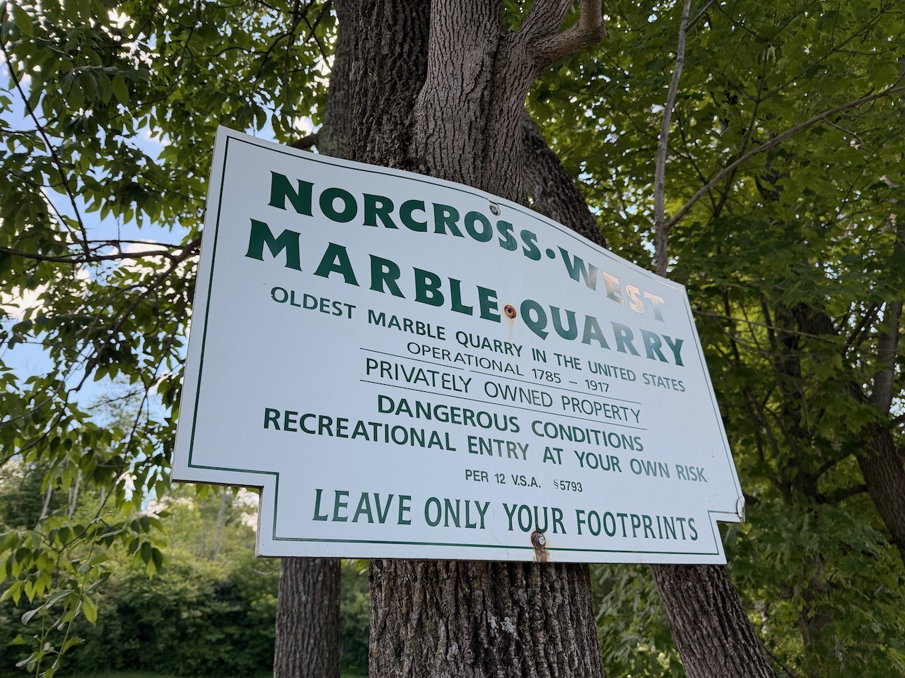
Another sign from the quarry
We did have to pay $15 to park and the lot was almost full at this point. So this place does get busy and an early arrival would be recommended.
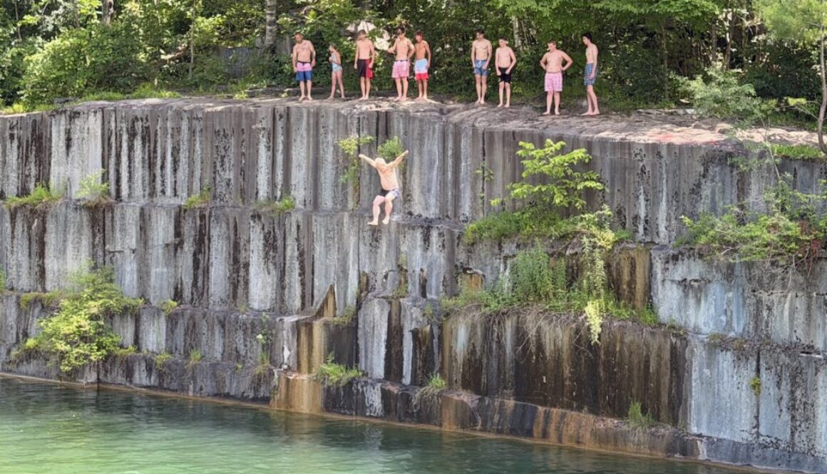
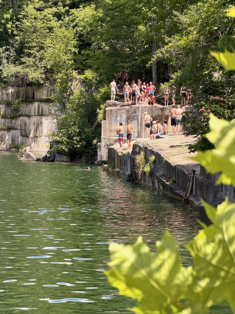
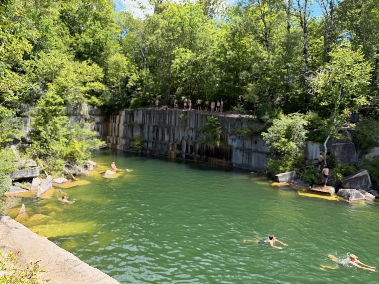
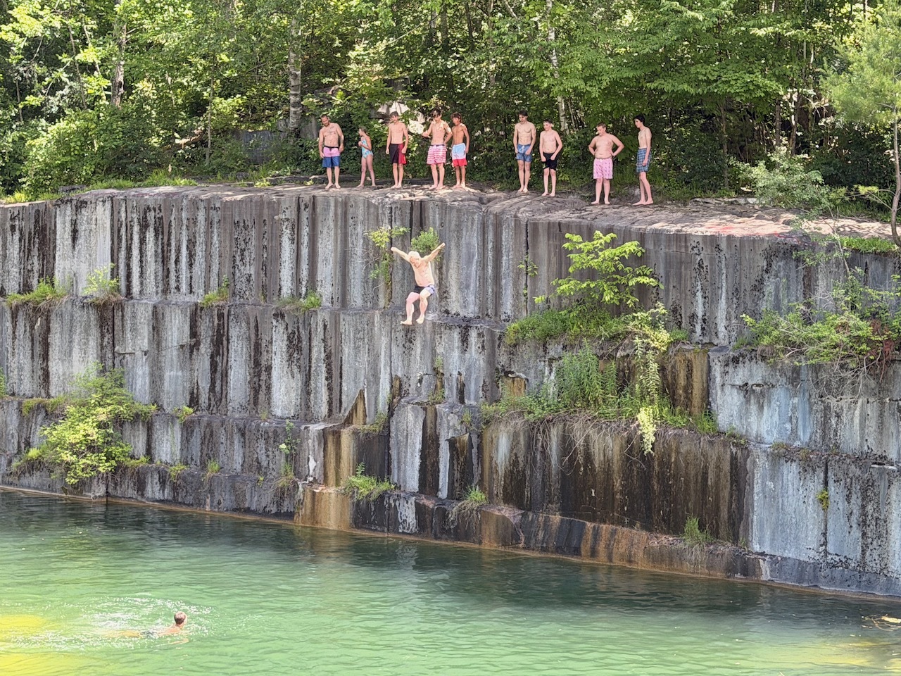
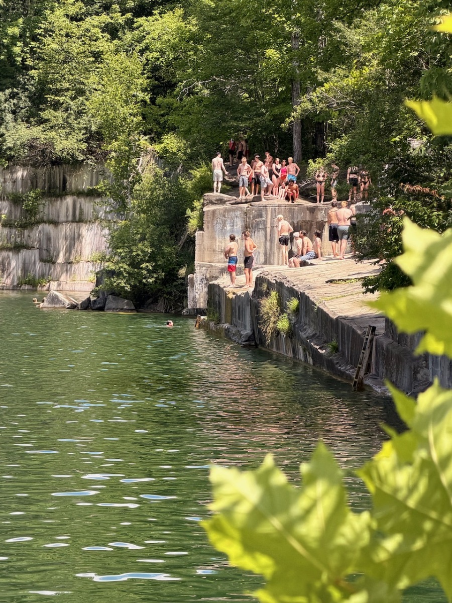
some kids jumping off the ledges
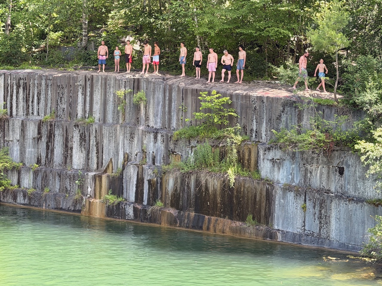
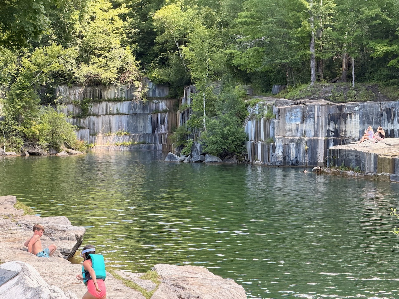
The quarry is about 60 feet deep in most areas. So there were lots of kids jumping off all the cliffs.
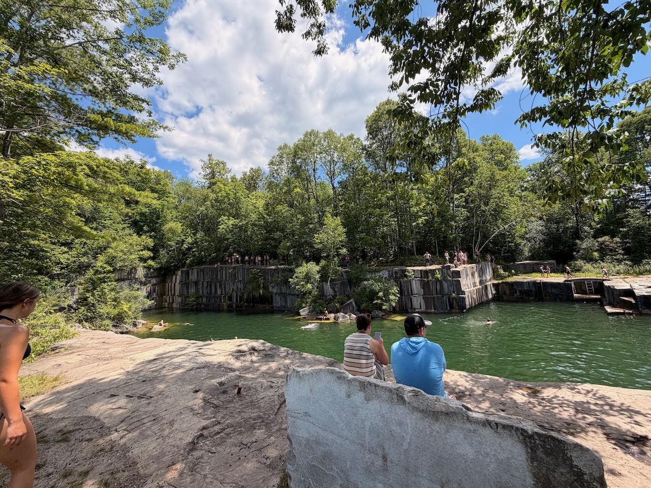
views from along the edge
While we did not do any cliff jumping, we did have an opportunity to cool down and swim a bit. The water hovers around 50 degrees in the summer.
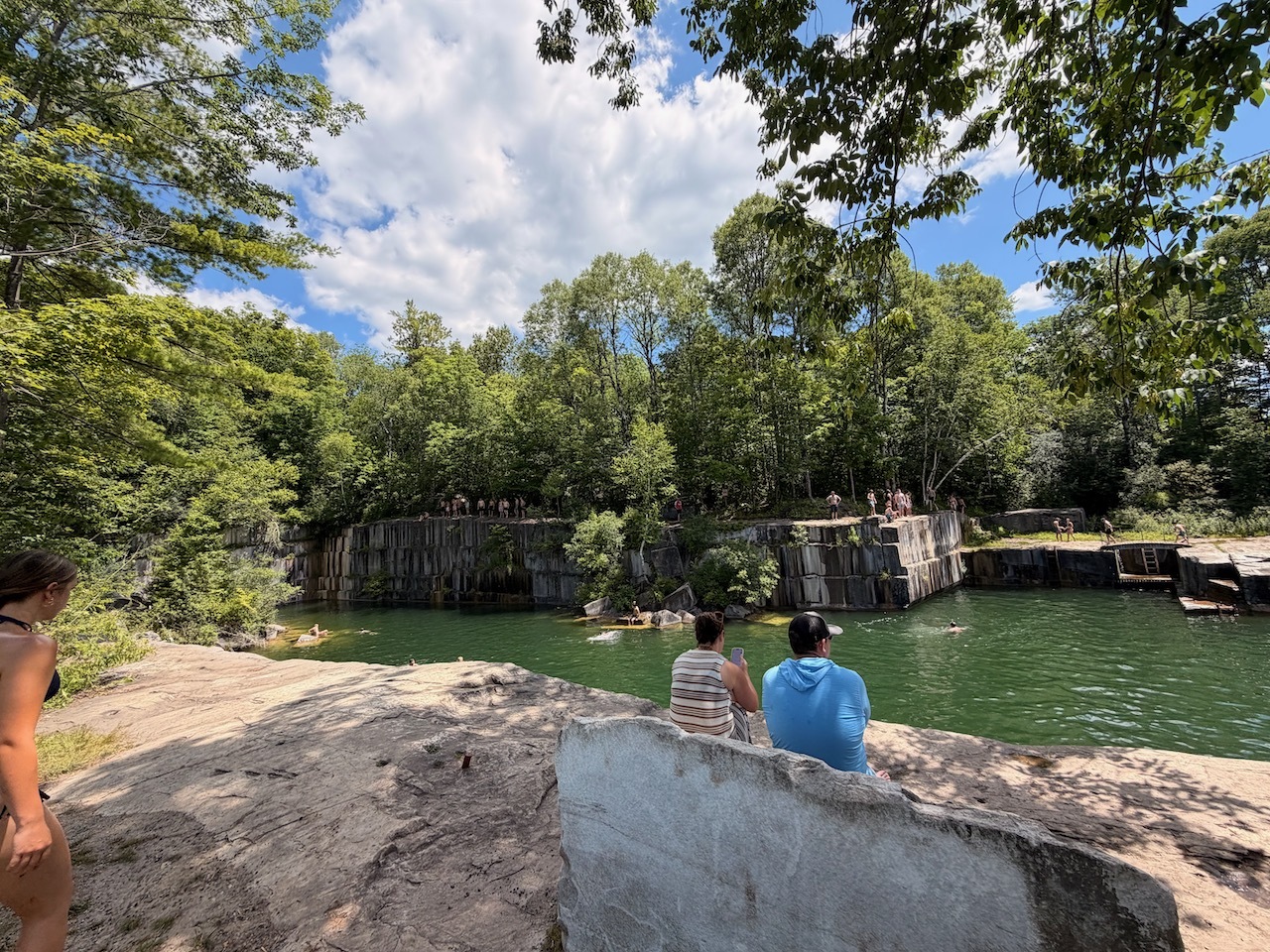
looking at the ledge from the other end of the quarry
This is also a historical site and there are some signs that say this was the first quarry in America. In fact it was first mined in 1785. Just after the United States became a country.
After two days of Dead of Summer, my buddy and Jay and I set out for a short morning hike up to Prospect Rock.
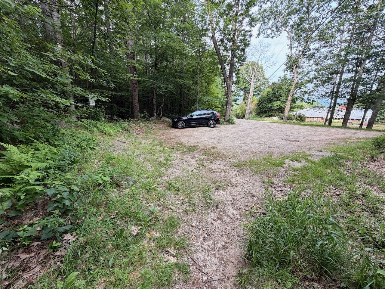
Parking was close to full when we got there.
The weather was sunny, hot and a bit humid but on the trail it was refreshing and cool in the shade.
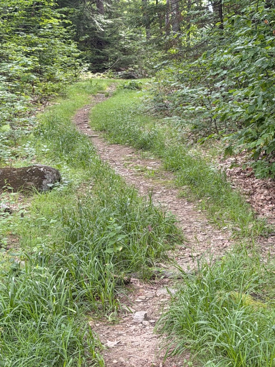
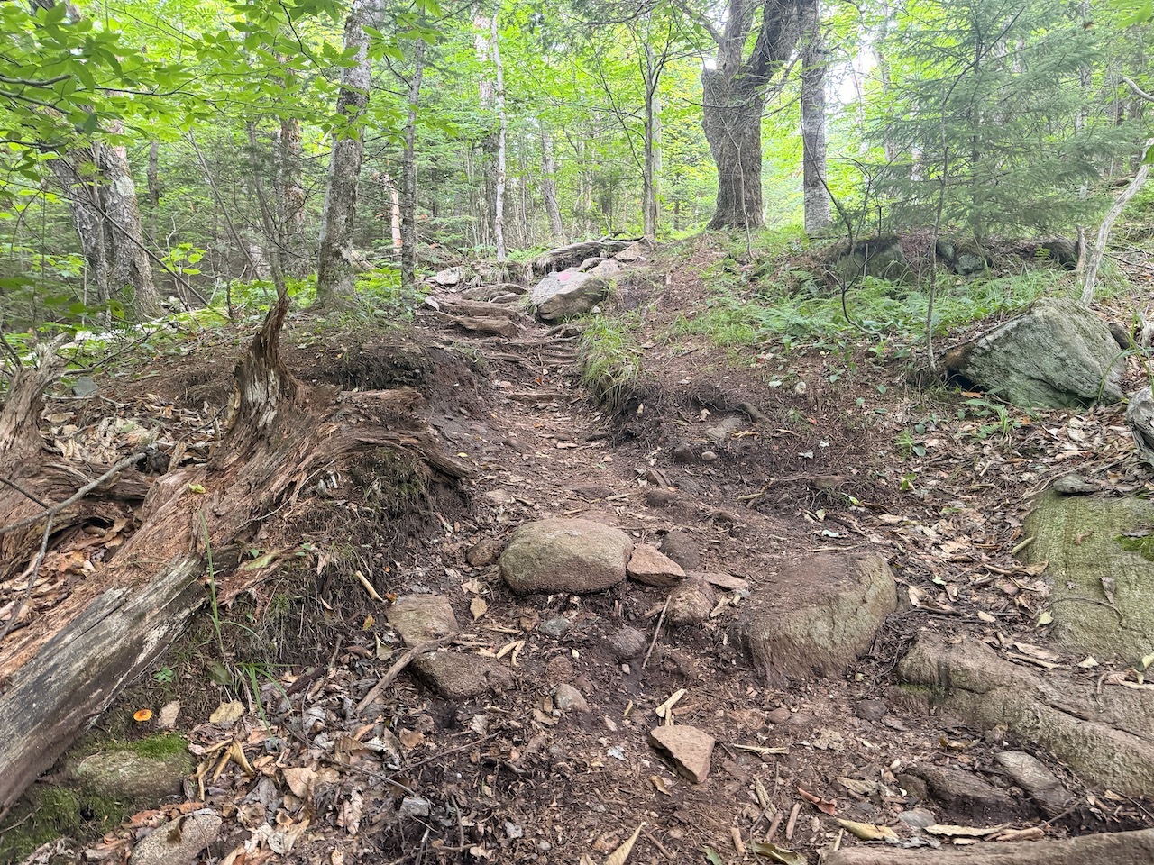
Trail was pretty much an old road the whole way up
We got to the parking lot next to a large water tower. The lot held about 15 cars and was just about full. We were lucky to get the last spot.
Look up!
We started up the trail which is more like a steep class 6 road. The hike itself was not very interesting. As we climbed up we could look off the side of the road to a very steep dropoff.
Prospect Rock!
Before long we got to the trail junction. At this junction the Appalachian Trail, Long Trail and Prospect Rock trail meet.
Geo Marker on Prospect Rock
We stopped and saw a sign that said look up. When we did look up we saw the Prospect Rock sign was higher up in the trail. A little trail humor for hikers, I guess.
Views of the Taconic Range
The path to Prospect Rock is short. About a hundred feed. When we got to the rock the there were a few people.
View of Manchester Center from Prospect Rock
There were some beautiful views of Manchester, Vermont, Mt. Equinox and the Taconic Mountain range.
View of the tents from Dead of Summer Festival from Prospect Rock
There is also a fantastic view of Manchester Center from the rock. We could even see the Dead of Summer festival tents in a field off in the distance.
Selfie
While we were there we chatted with a few others people that stopped by. Some of the were also at the festival and needed a little nature break.
My buddy Jay and I
The walk down was pretty straight forward and went quickly. We were able to make it back to the festival in time to see the Brown Eyed Women band.
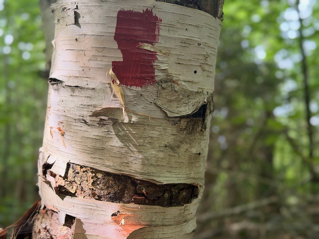
Cool tree along the trail
Fun excursion to this viewpoint. It was not hard and not long so this was a perfect morning adventure.
Funny way to display a trail sign. Lol. Our trail up to Prospect Rock
I’ve been going to Manchester Vermont for the past few years to attend the Dead of Summer Festival. This year I learned about Rachel Harris Burton. Rachel was a vampire.
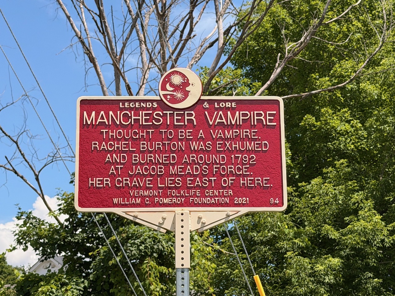
Legends and Lore sign
Rachel married her husband Captain Issac Burton but soon fell ill and died in 1792 of Tuberculous. Back then they just called it consumption. The captain remarried and his second wife fell ill and died of the same causes.
I really like the celestial feel of this marker.
Locals blamed Rachel for the new bride’s death and believed Rachel had become a demon vampire. So, they exhumed her body, took out her organs and burned them on a blacksmith’s forge.
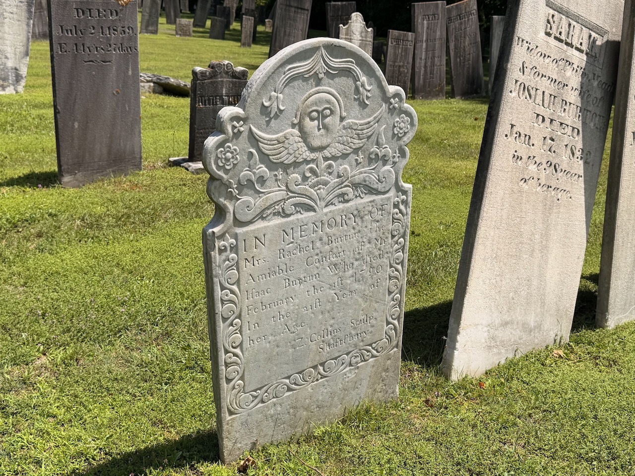
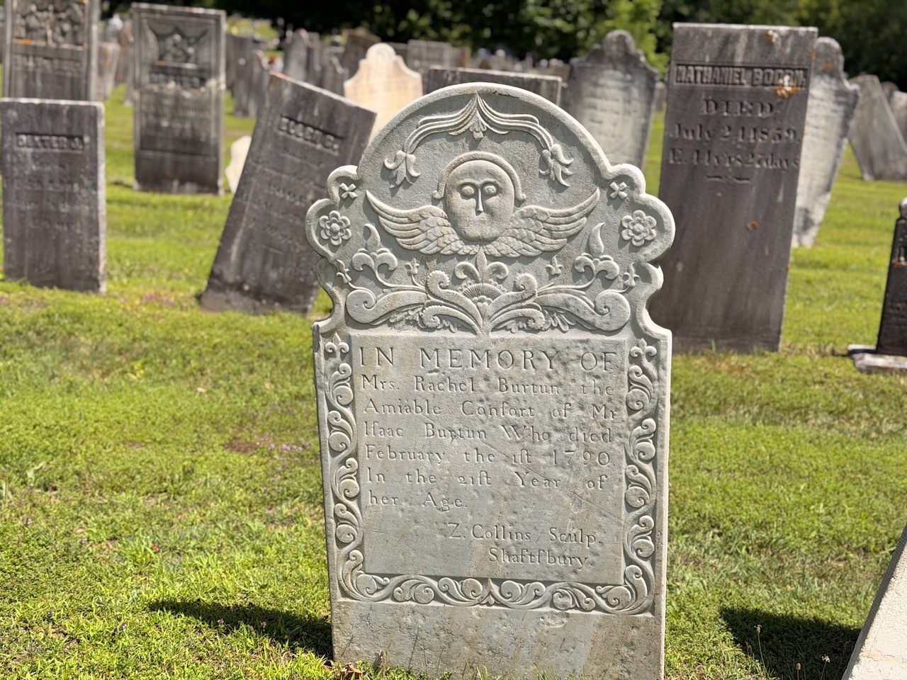
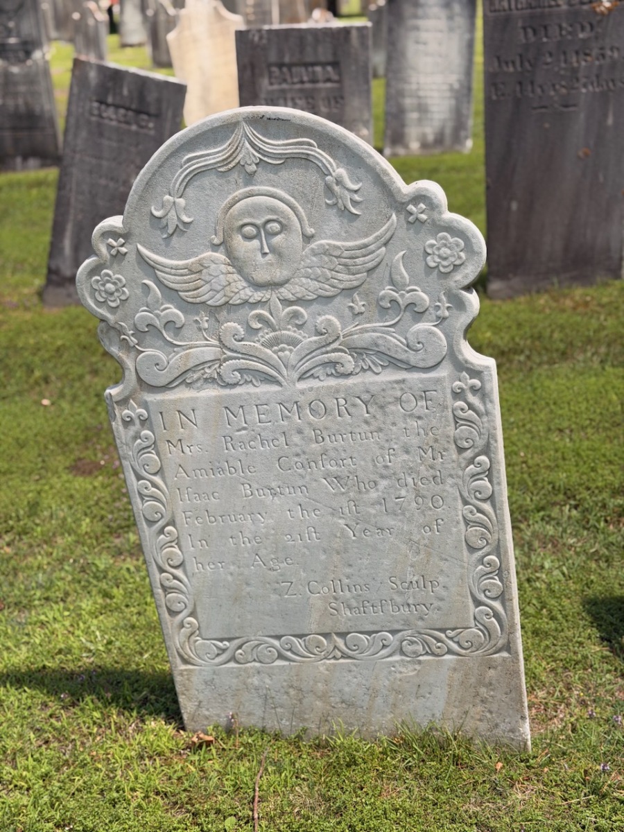
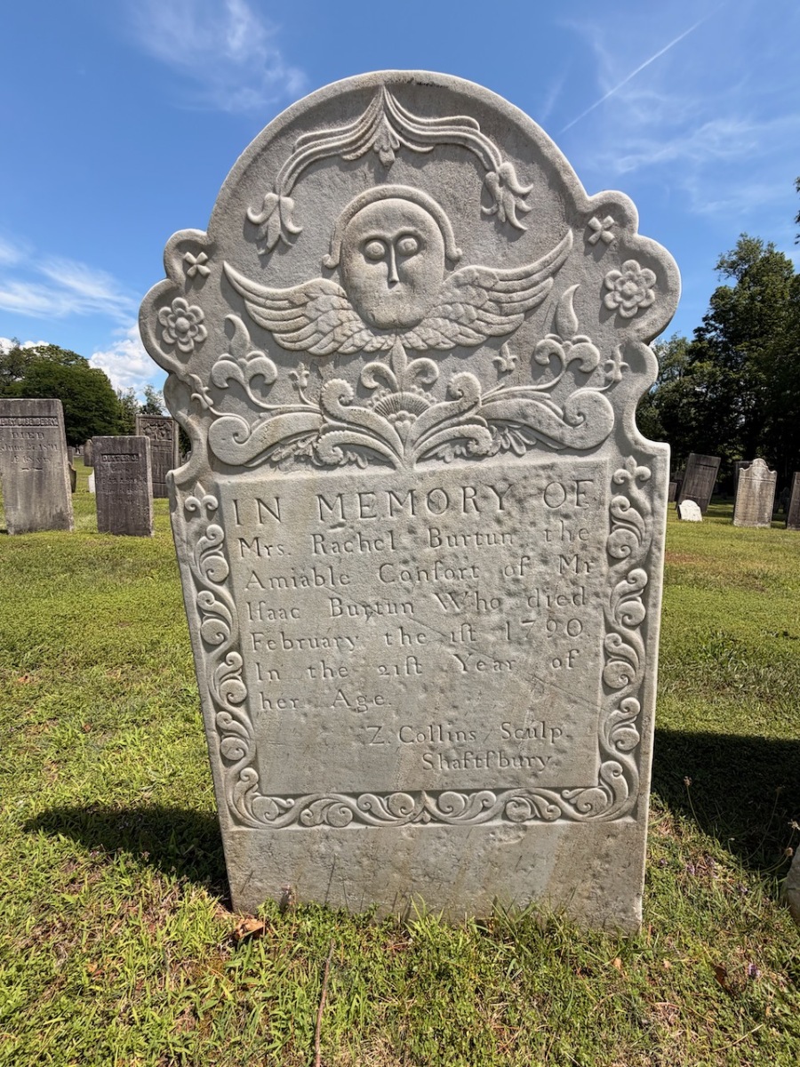
Rachel Burtun’s grave marker
It was said that 500-1000 people showed up to witness this act according to an 1860 History of Manchester, Vermont.
Front view of the Ranchel Burtun
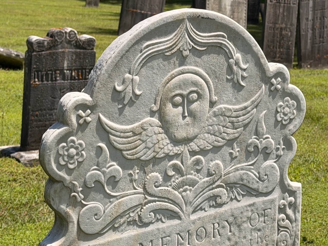
Upclose you can really see the details in the carving.
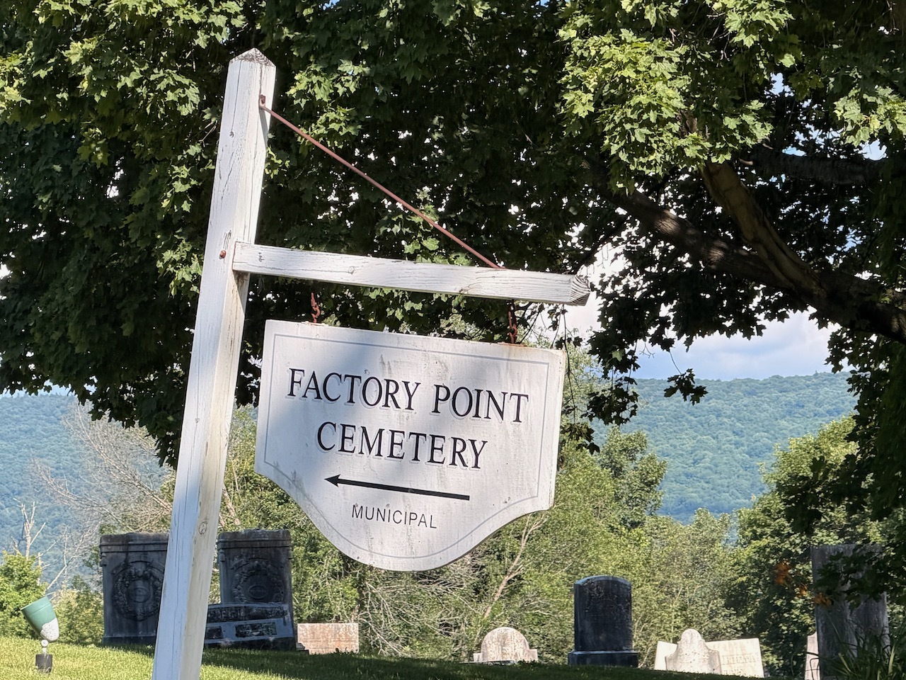
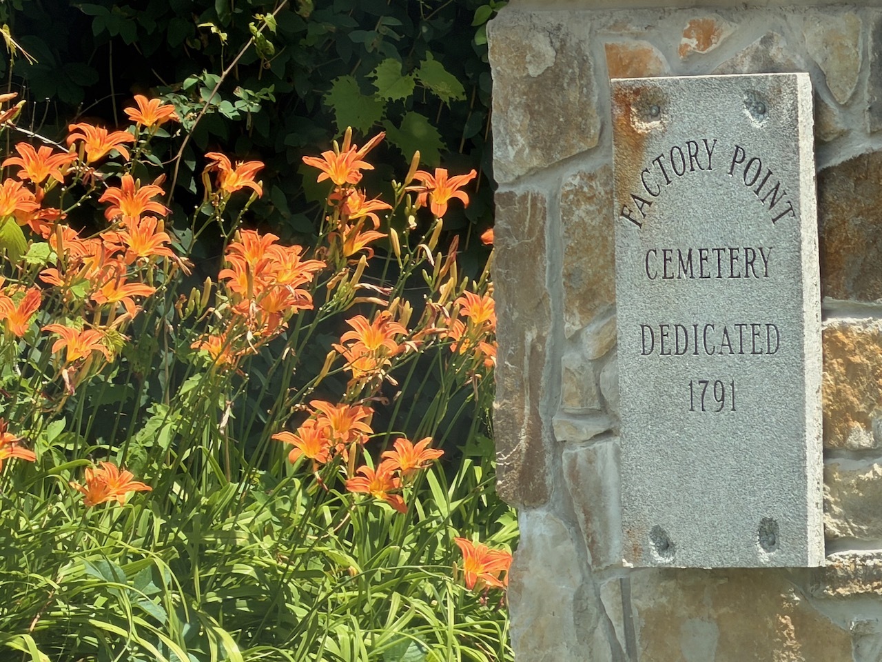
When I arrived at Factory Point Cemetery in Manchester Center. There was room to park at the entrance where there is a Legends and Lore sign that talks about Rachel Barton.
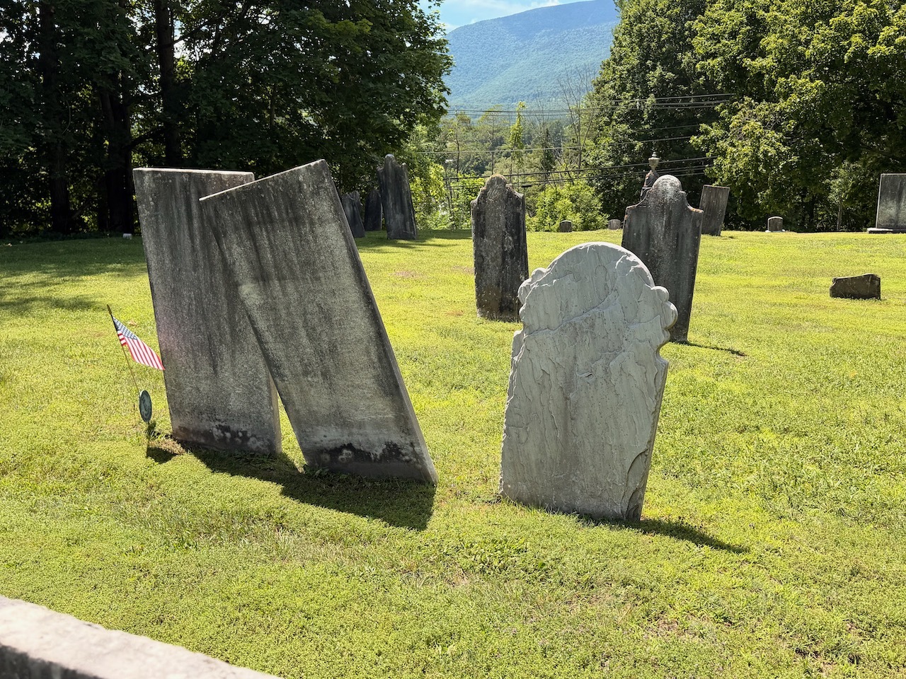
Beautiful grave yard
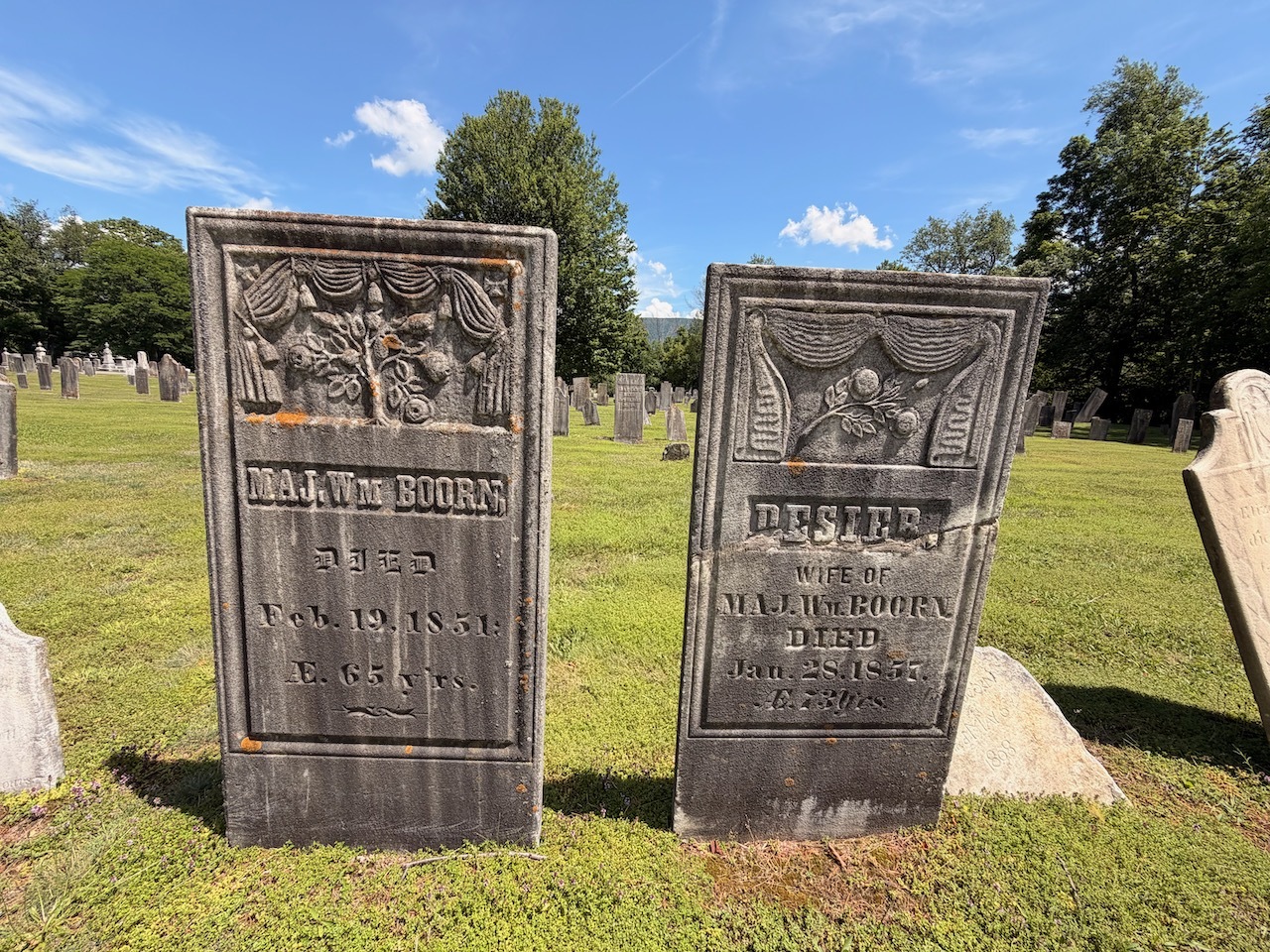
Inside the cemetery to the east of the entrance is Rachels Gravestone. It is beautifully carved by a well-known carver Zerubbabel Collins.
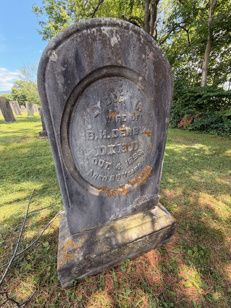
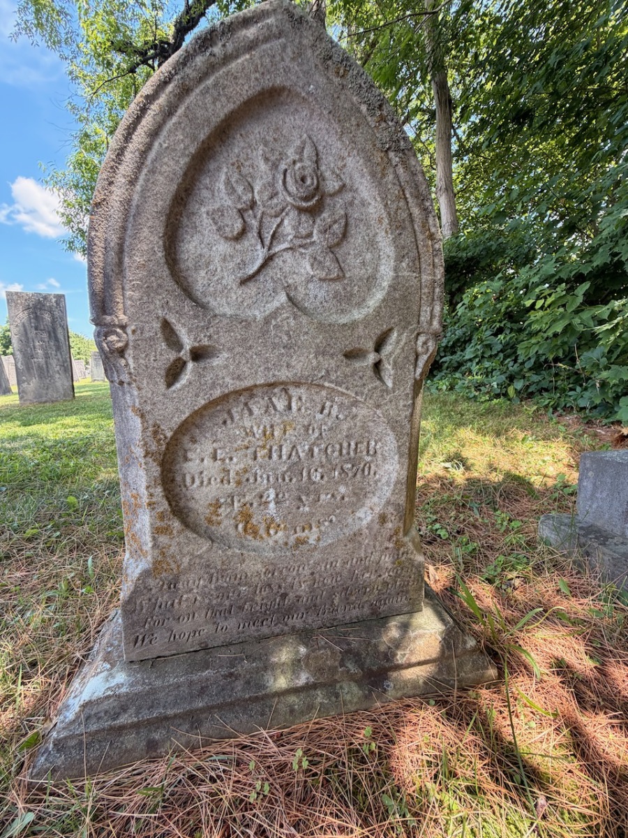
Another interesting grave in the cemetery
And another cool grave marker
The gravestone is very ornate and features a face with wings and an organic looking border design. Even the font used in the carving was unique. You can tell it was hand carved.
The Back of the Rachel Burtun Gave
This was a fun quick stop that took about 15-20 minutes. Very interesting. I also learned about Legends and Lore program.
First day of vacation and I thought I would start it out with a hike up to Mt. Sunapee. I can’t believe I’ve never hiked this mountain.
View of the parking available
I got to the trail head early, the temps were in the low 70’s and the skies were cloudy. There was enough room for about 6-8 cars in the small parking section.
Trail starts out pretty mellow
At the start of the hike it was a little muggy and mosquitos were out in full force. I was glad to have remembered bug spray this time.
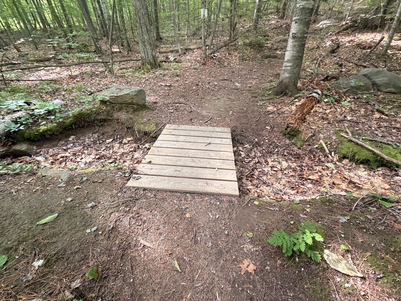
Water crossings were no issue
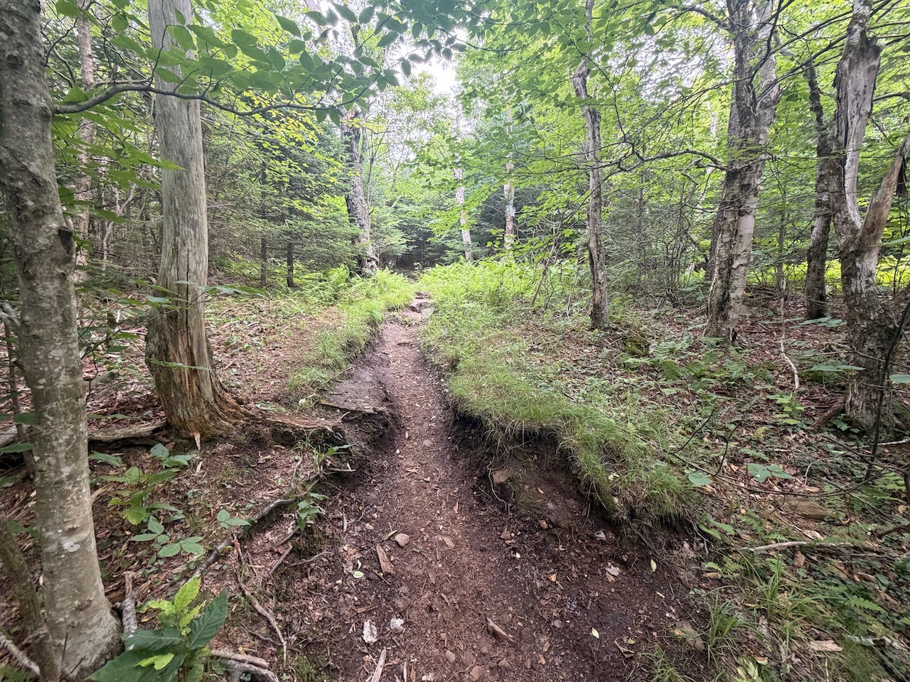
The first half mile is very mellow on this trail. There is a small gradual incline that is barely noticeable.
The trail was well used and well maintained and this morning I had it all to myself. As I climbed there was a small breeze that helped a lot.
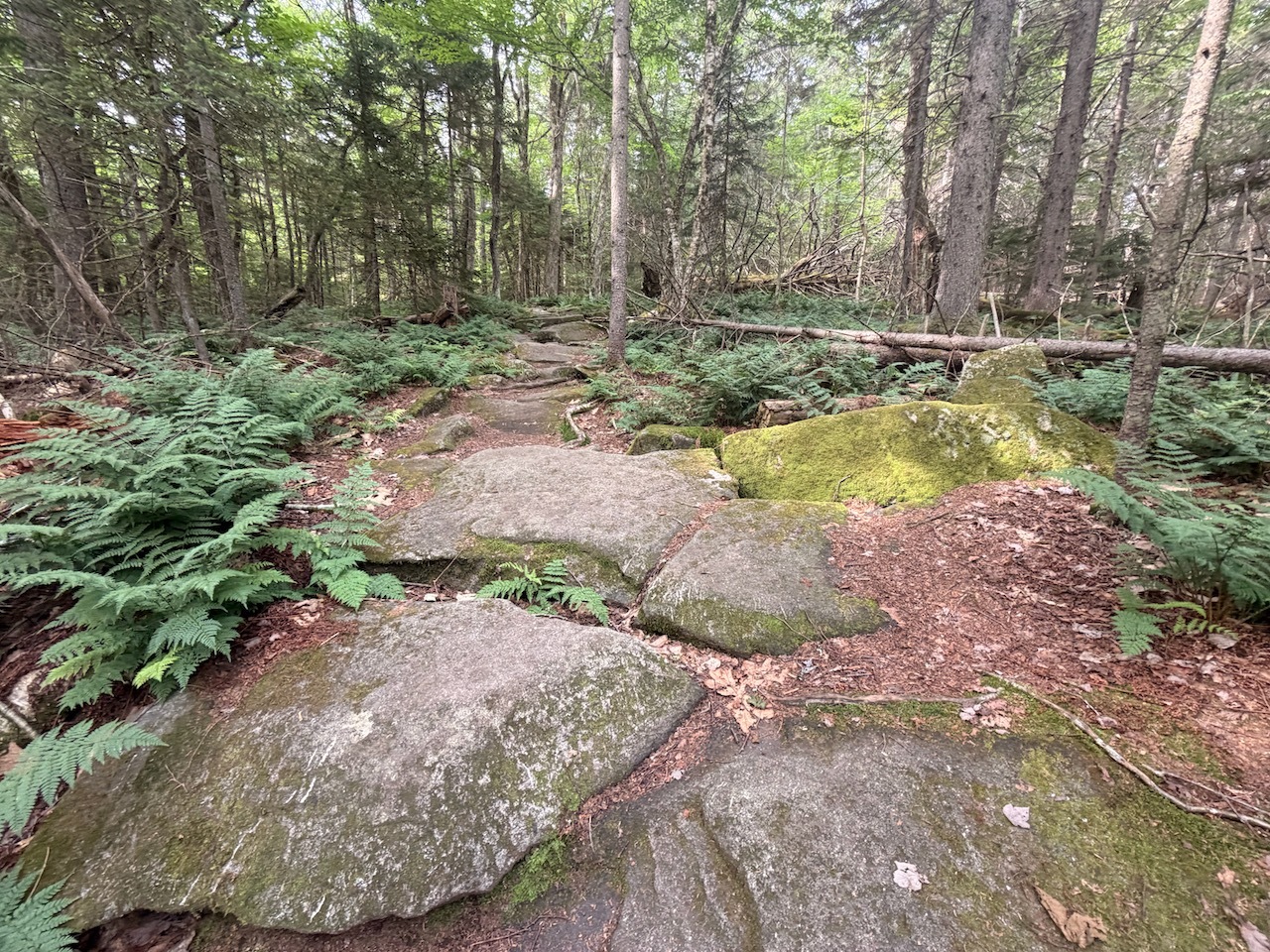
A couple of places with elevation
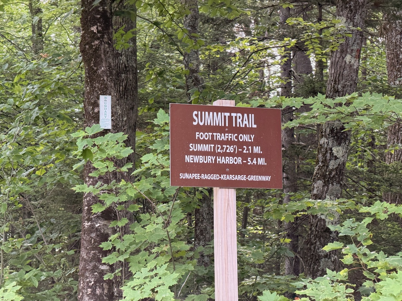
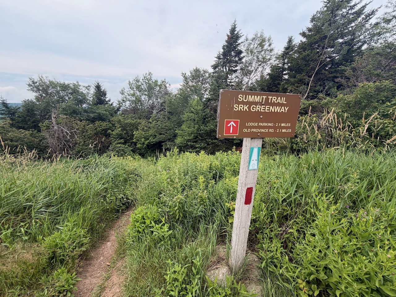
Lots of interesting old trees on this trail too. This trail is also part of the Sunapee-Ragged-Kearsarge Greenway as well.
getting neaar the summit
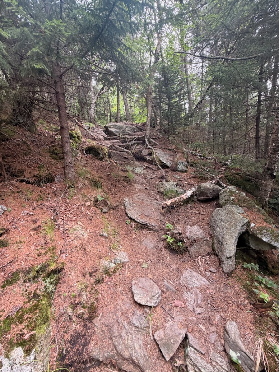
I continued climbing till I came to some larger switch backs on the trail. These made the steep accent more like a moderate climb. Finaly knocking out some of the elevation.
beautiful trail
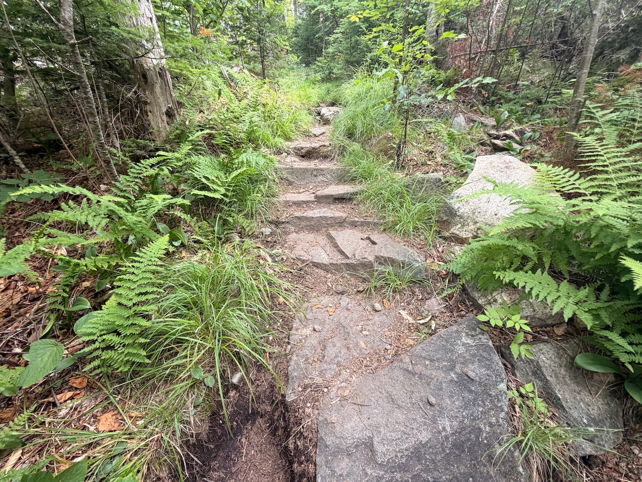
Then I got to the last push up to the summit. Some short switchbacks and some big steps but still not to bad.
The last 20 feet was a tick nightmare!!
The trail started to level out a bit, and I took a quick break on a large rock at the top of the switchbacks.
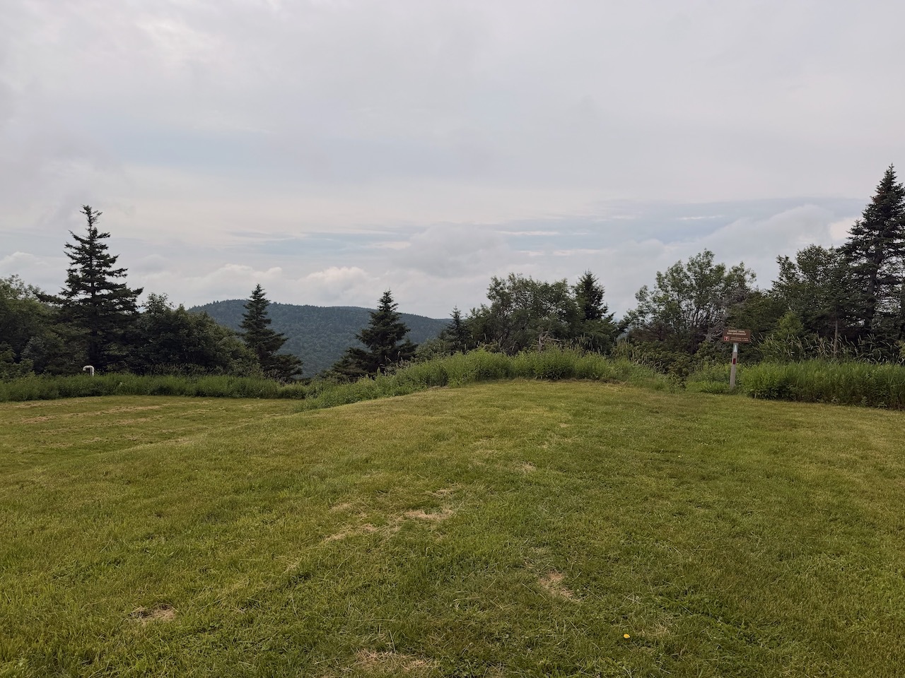
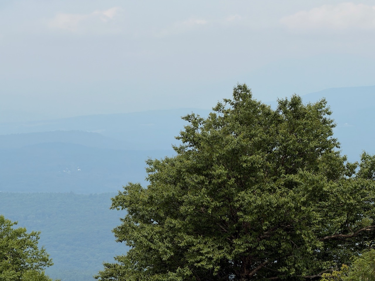
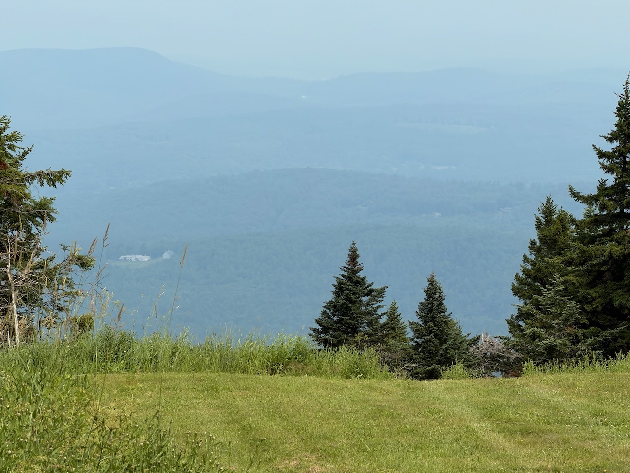
Hazy summit views
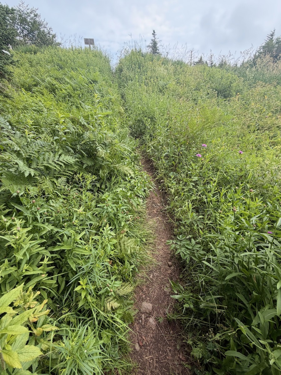
When I got to the last section before the summit the trail was overgrown by plants and my fear of ticks was heightened. I ran as fast as I could through the weeds to the open summit and ski area.
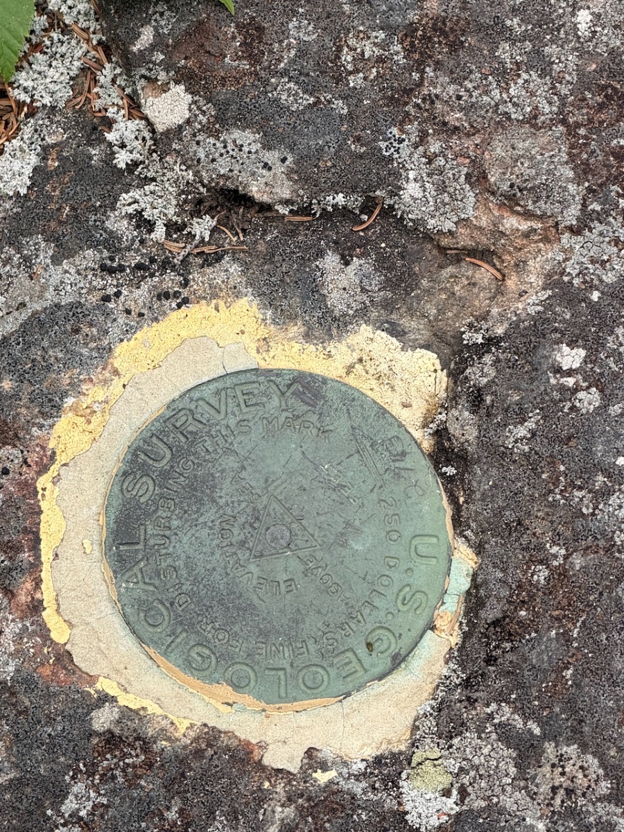
Geo Marker for the official summit
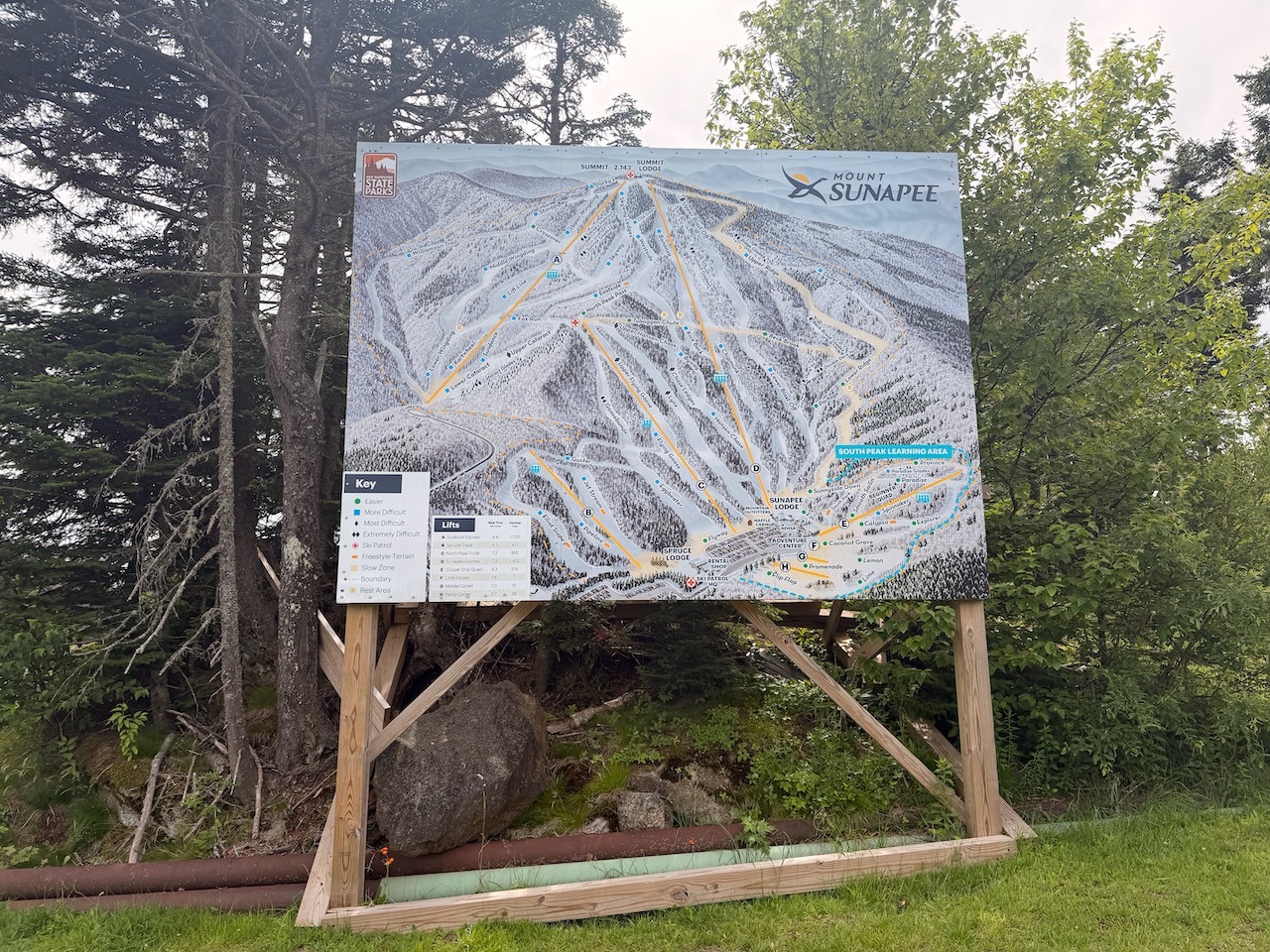
I walked around a bit and found the geo marker for the summit. I thought about going over to Lake Solitude but decided to leave that for when I finish the Monadnock-Sunapee Greenway later this year.
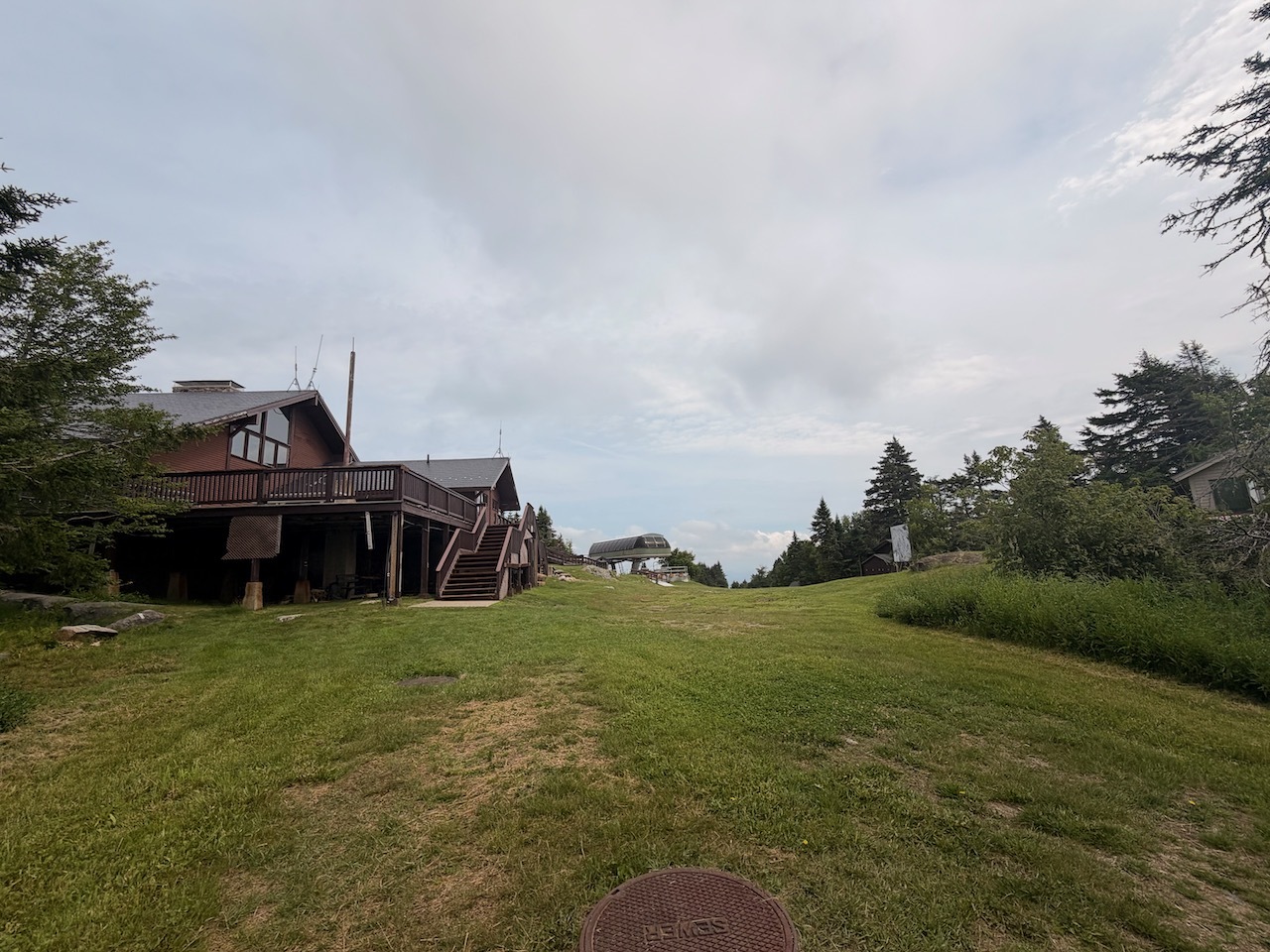
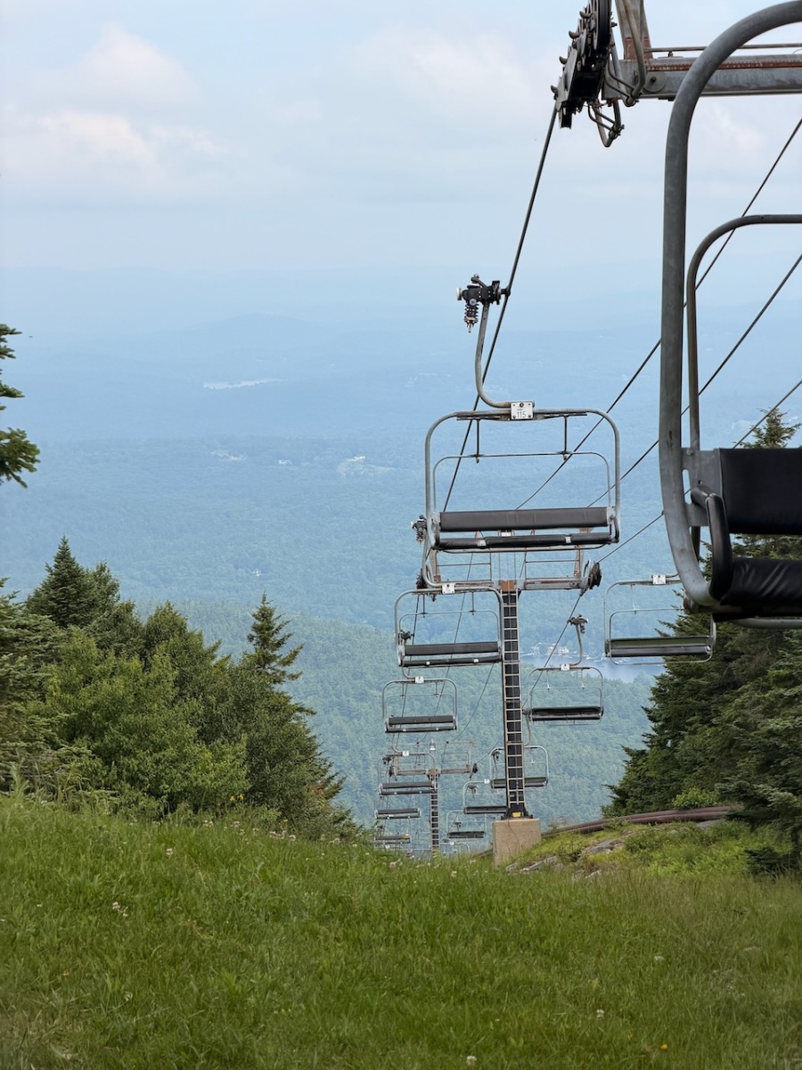
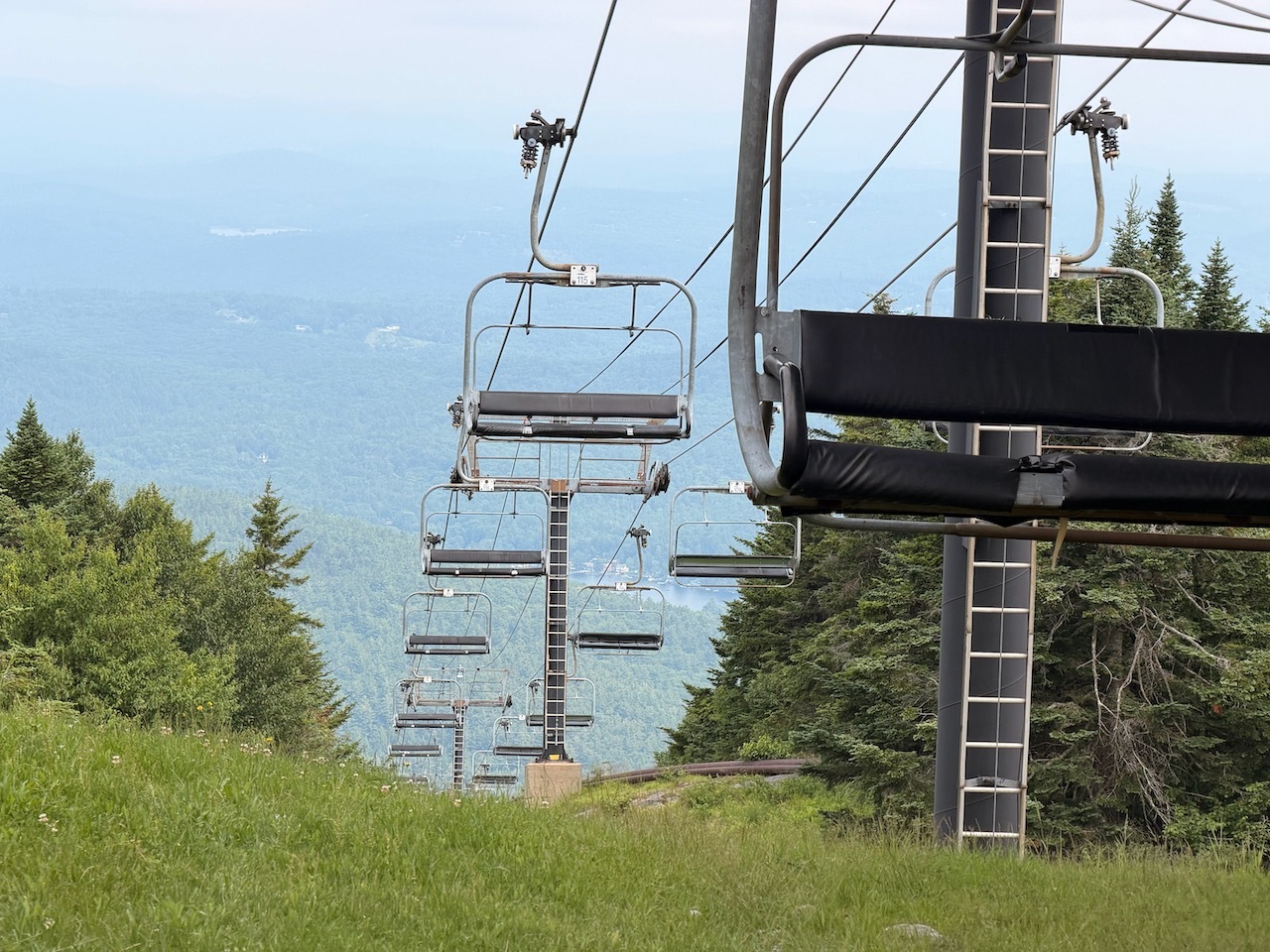
Chair lifts
After a snack I started back down. On the way down I started to encounter people climbing up. The further down I got the more people I saw. I stopped and had a good chat with Kevin on the trail.
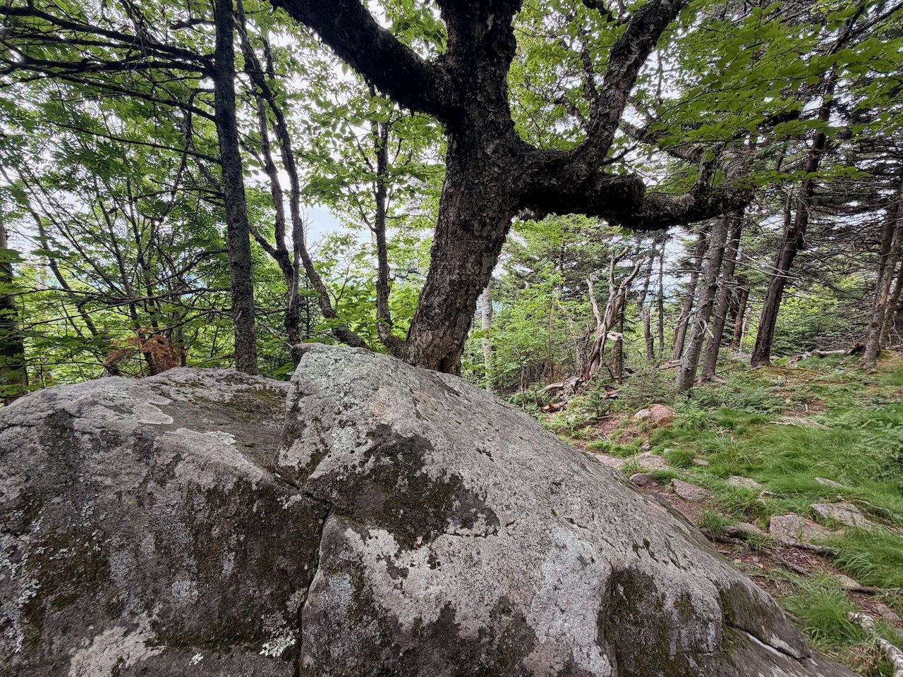
This trail has a lot of interesting old trees
As always the trip down is much faster than the trip up. I was back at the car before I knew it and it was a great morning hike. I look forward to returning to finish up the greenway!
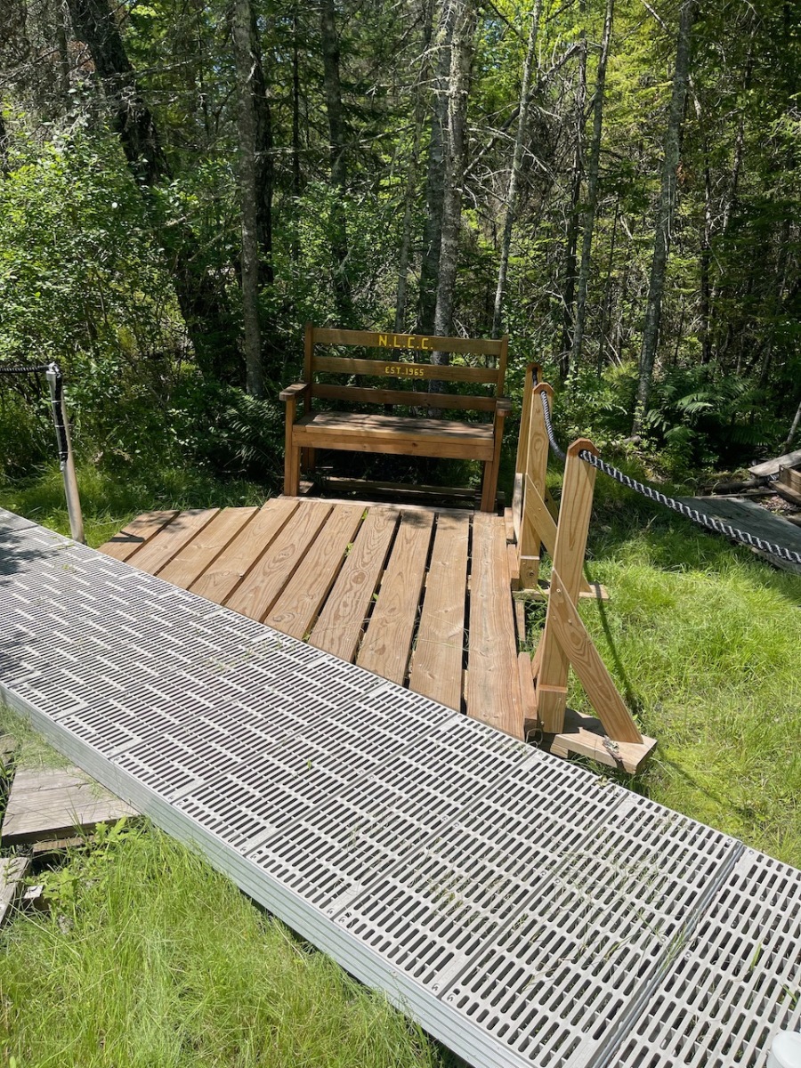
A bench to sit on near the junction of the Spruce and Tundra loops
Date:
7-3-2026
Location:
New London, NH
Distance:
.78 mi
Elevation Gain:
8′
Total Time:
39 min
Parking:
6-8 cars
I had some time after leaving Franconia Notch It was late morning and temps were approaching the 90’s but wanted to explore one more place.
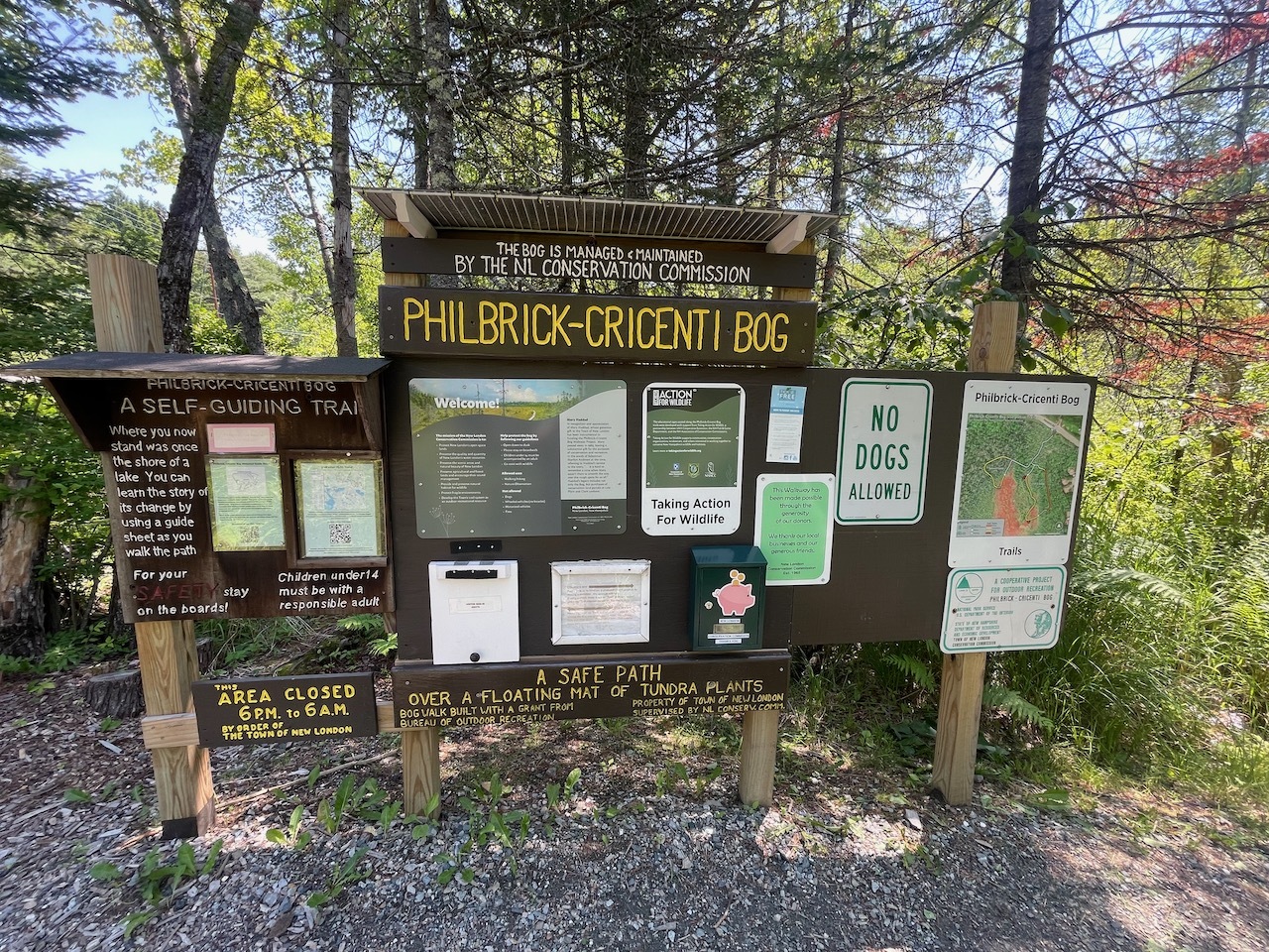
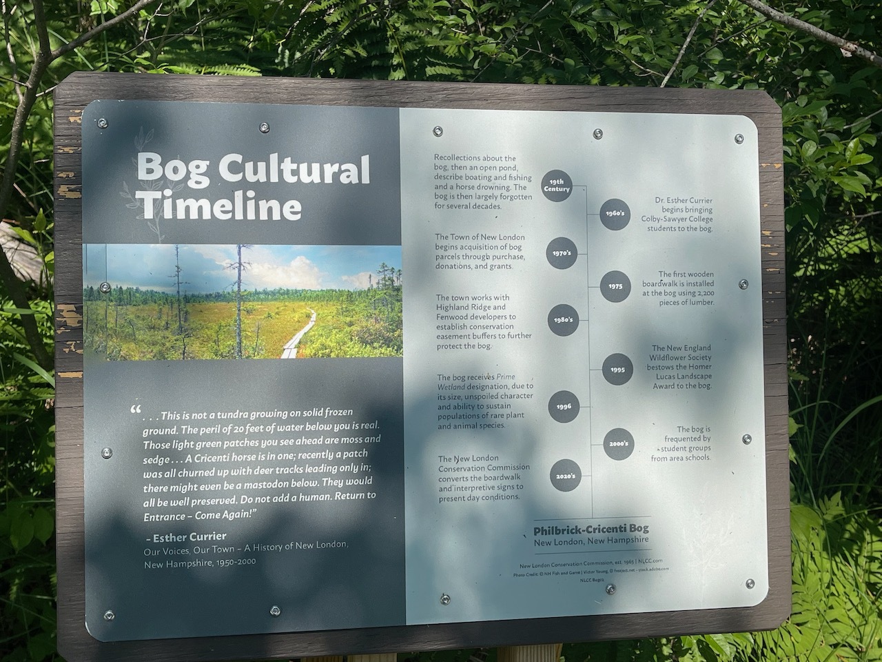
Kiosk at the beginning of the trail
I had to miss an AMC hike a couple weeks ago and one of the places they went to was the Philbrick-Cricenti Bog. Since it was a bog, I knew it would be flat and a good option to check out on a hot humid day.
Going down the trail toward the bog
The bog is near Sunapee, so It was about 50 minutes away from where I was.
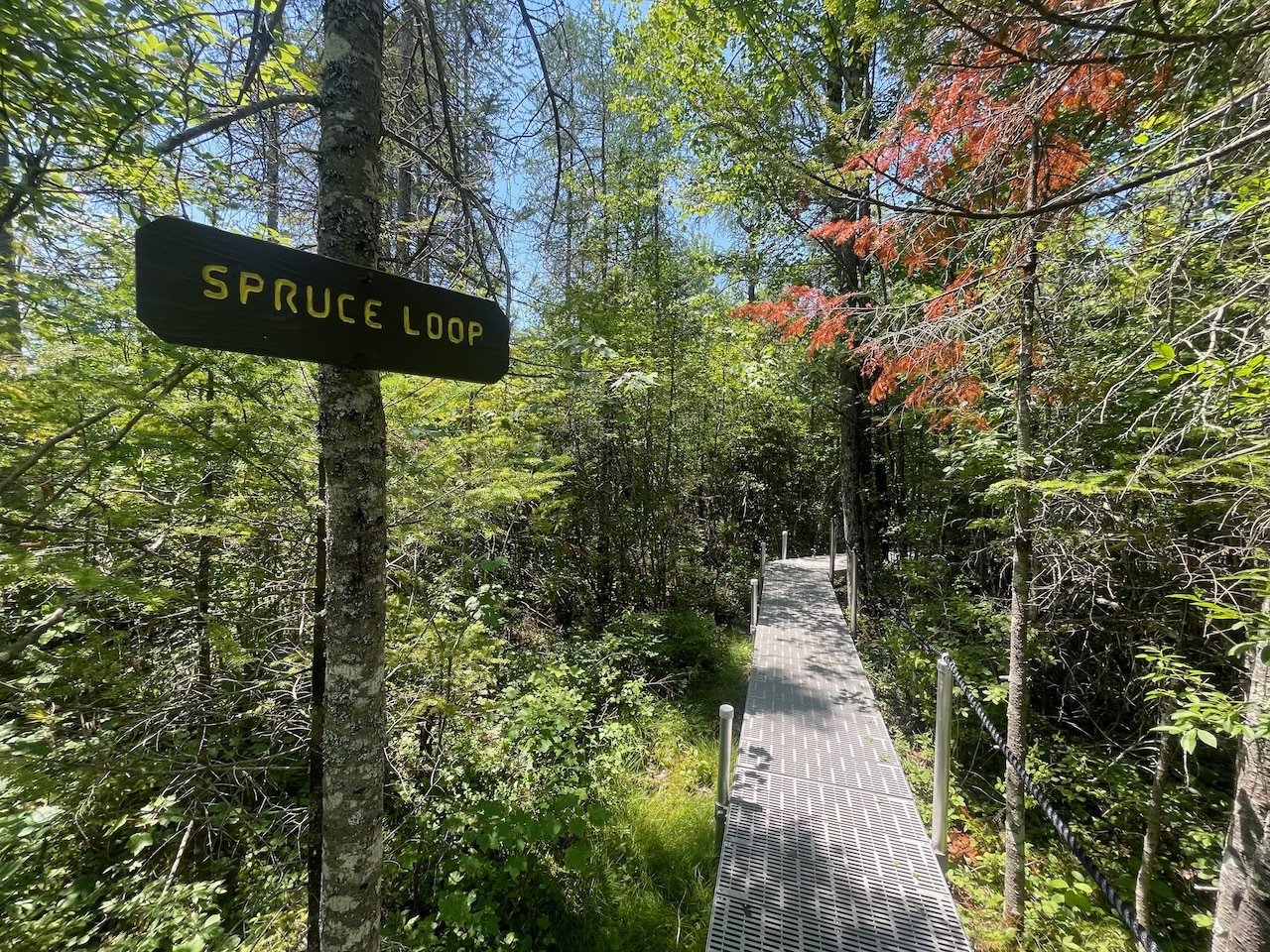
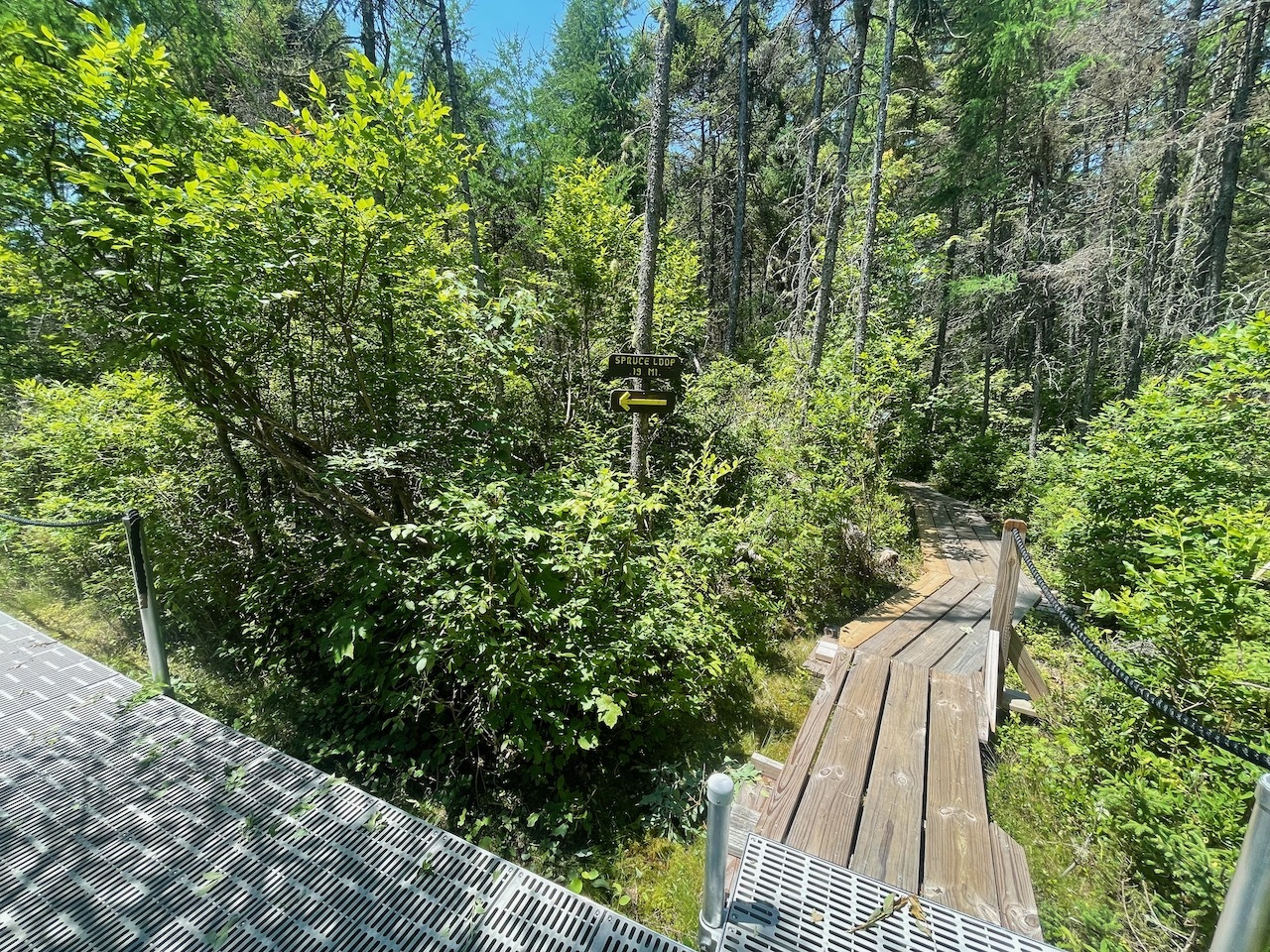
Spruce Loop Sign
When I got to the trail head there was a large pull of to park in. Could fit 6-8 cars if people park nicely.
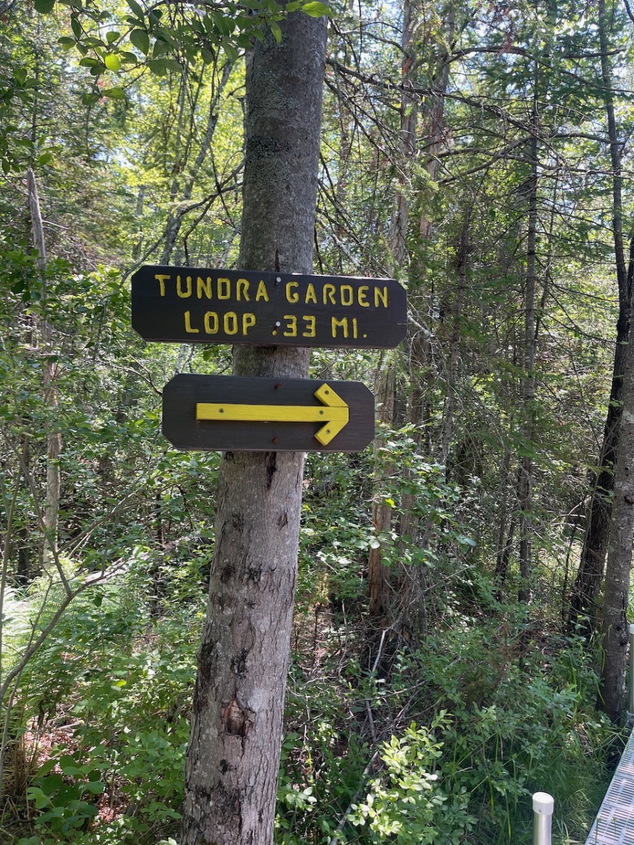
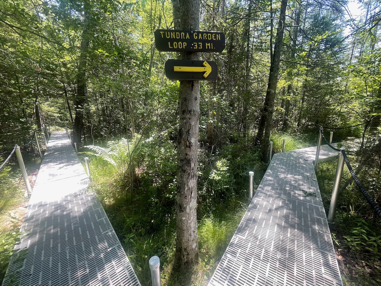
Tundra Loop Sign
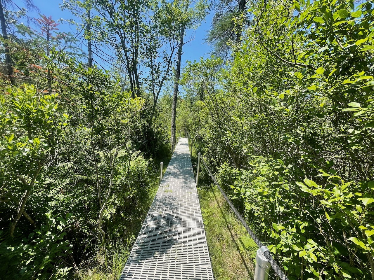
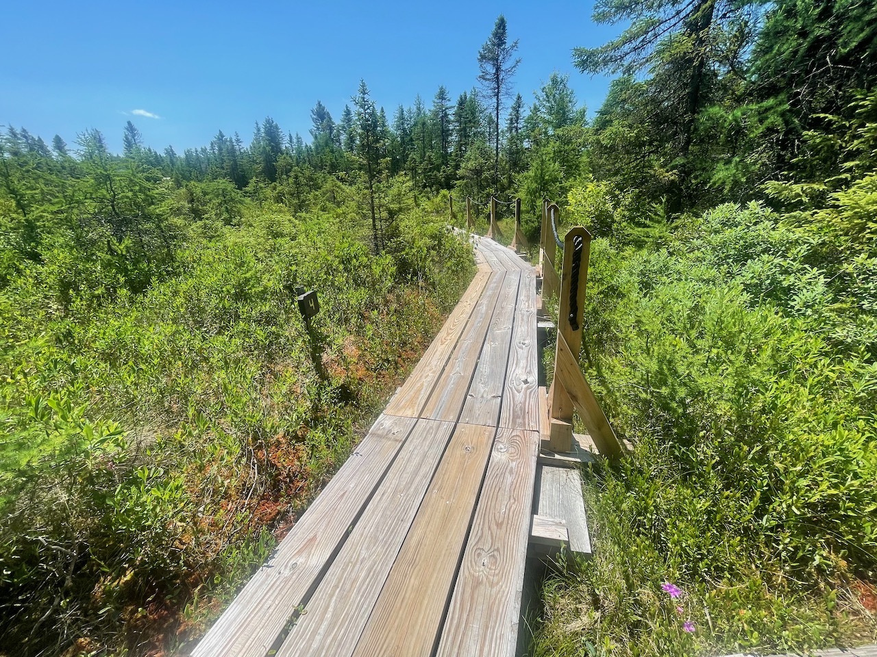
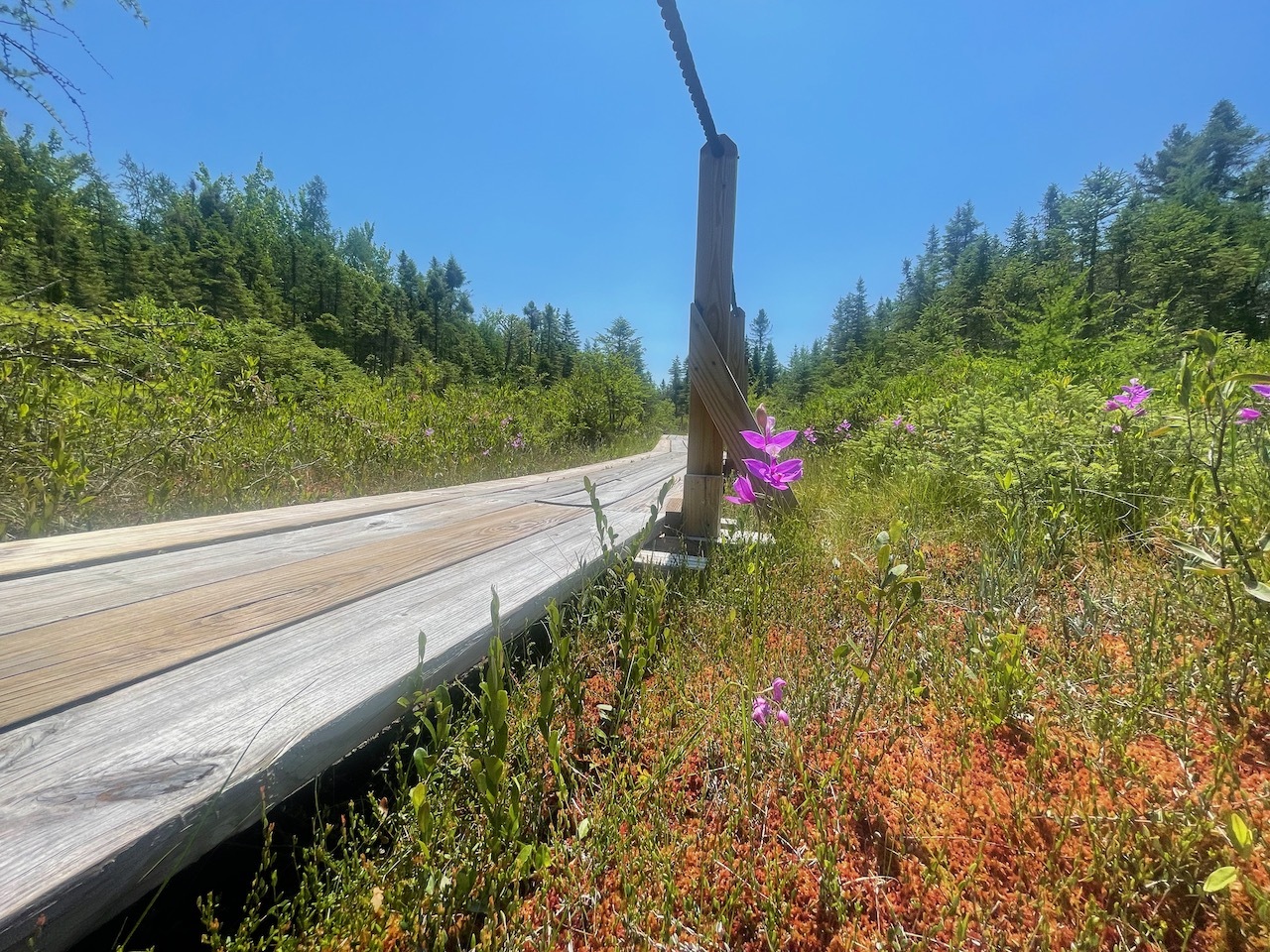
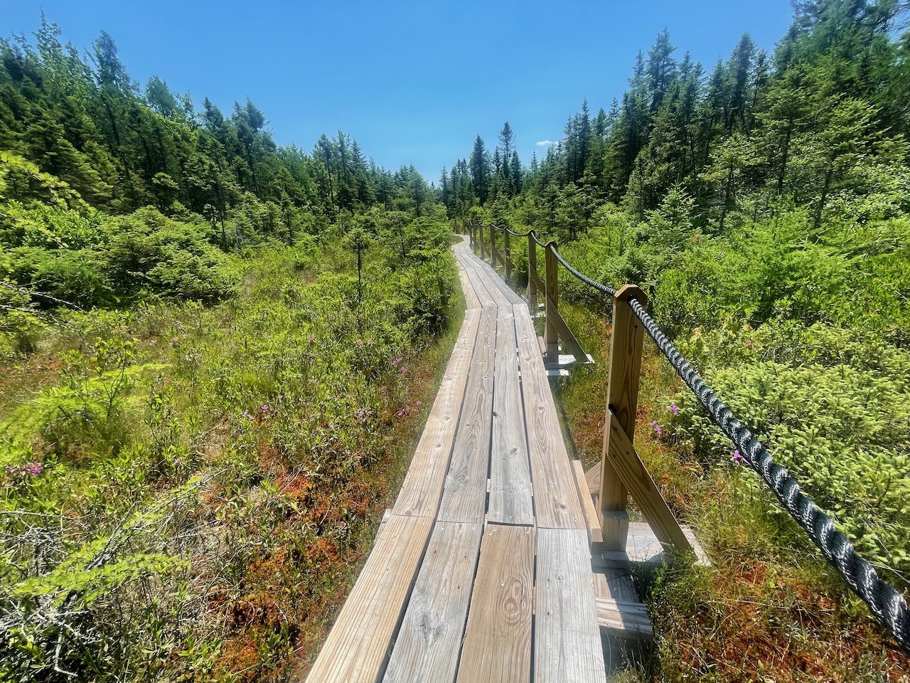
The trail is well defined. There is only one small section of dirt trail and that is at the very beginning. The rest of it is a plastic walking trail and traditional board walk.
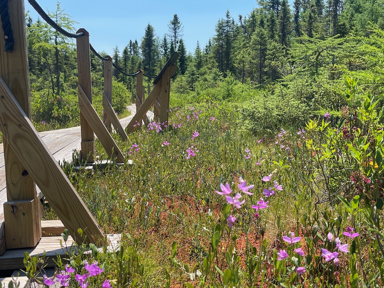
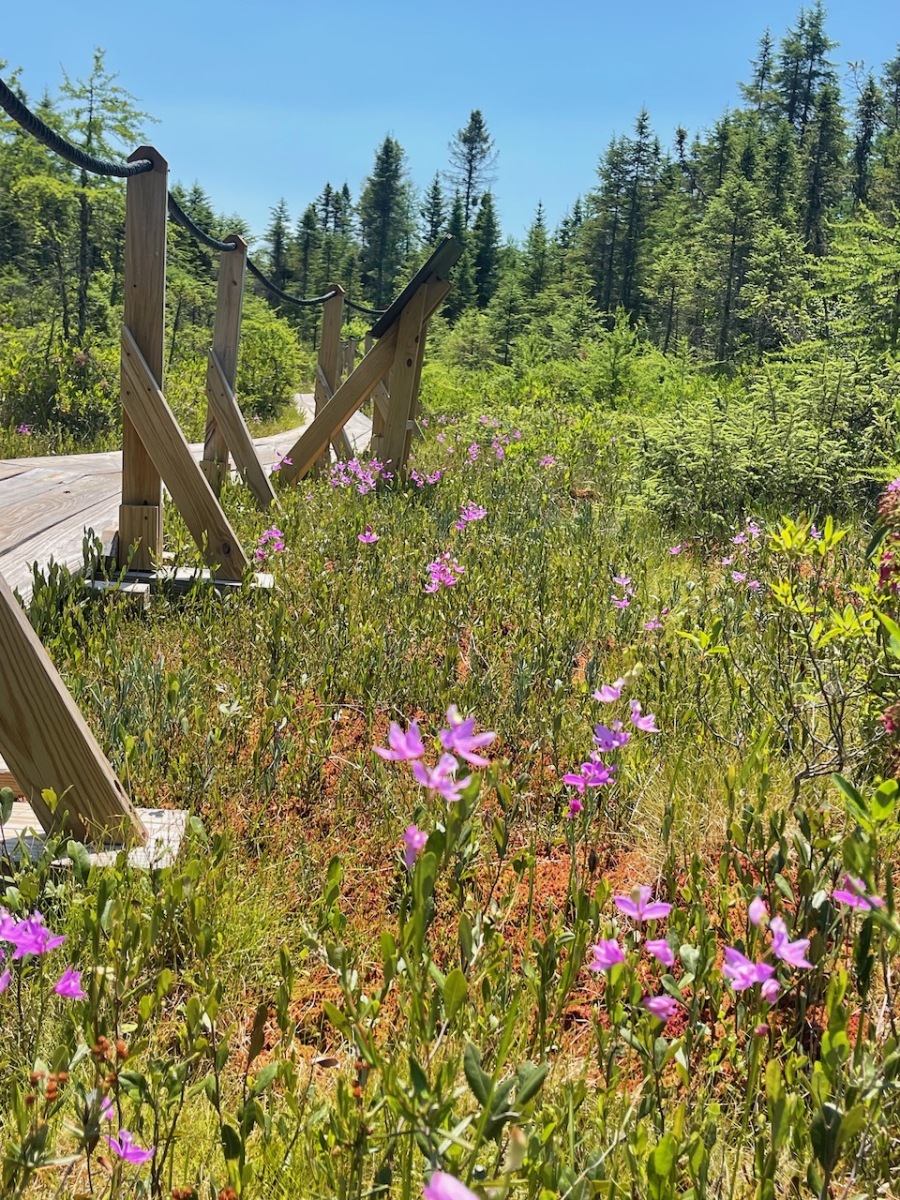
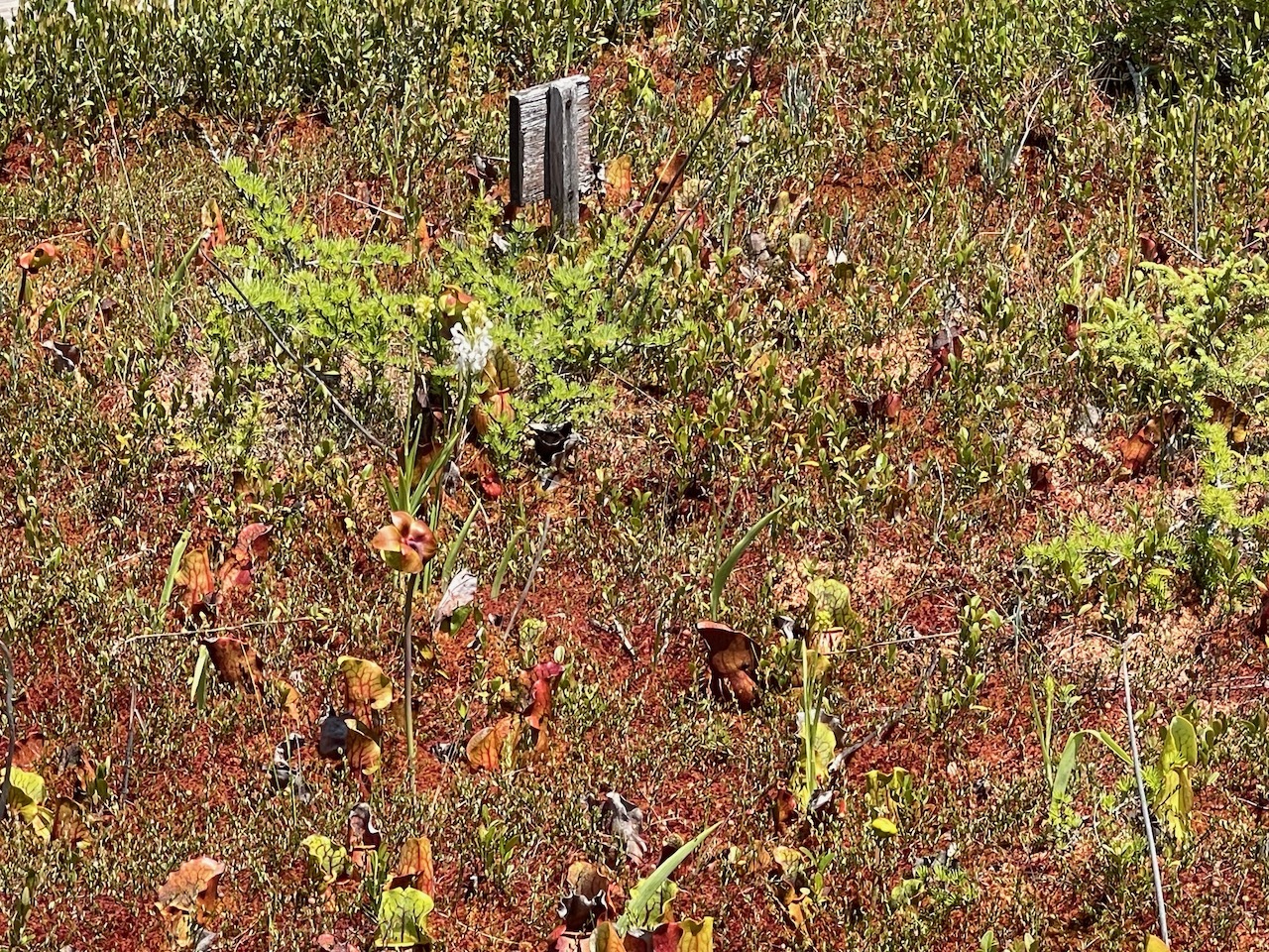
Flora along the trail
There are two trail loops to explore; The Spruce Loop and the Tundra Loop. I choose to start on the Spruce Loop.
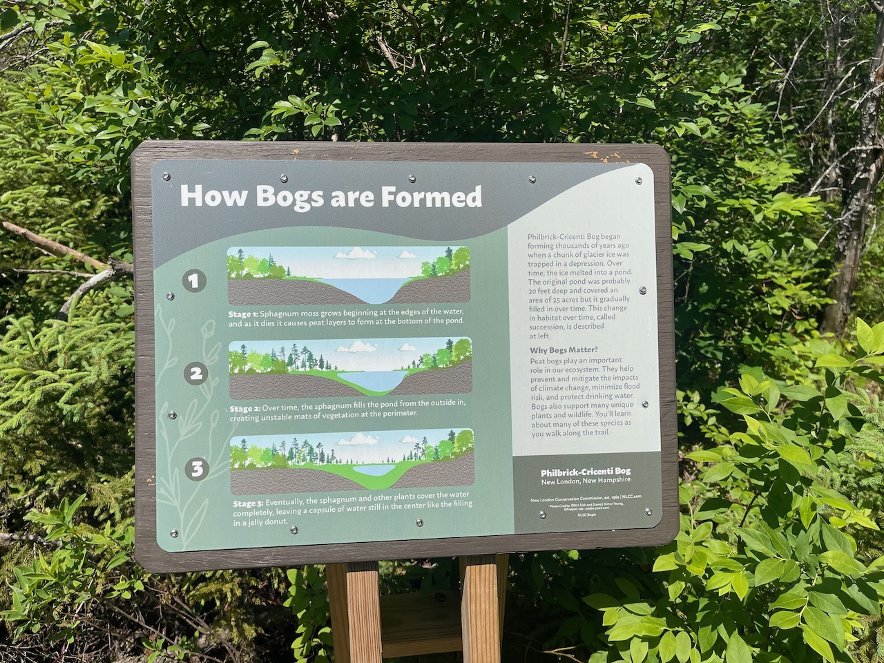
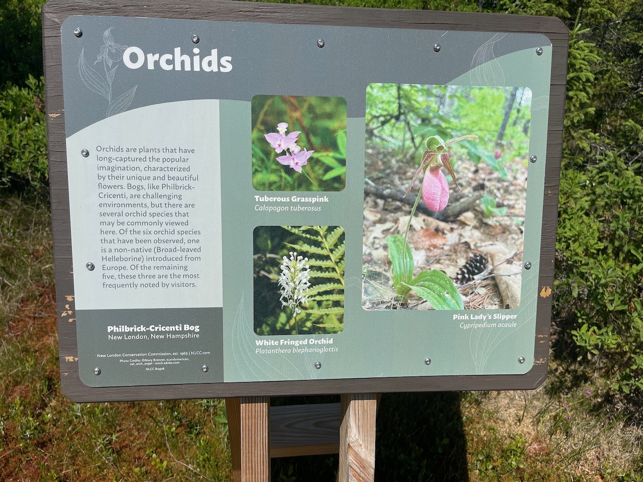
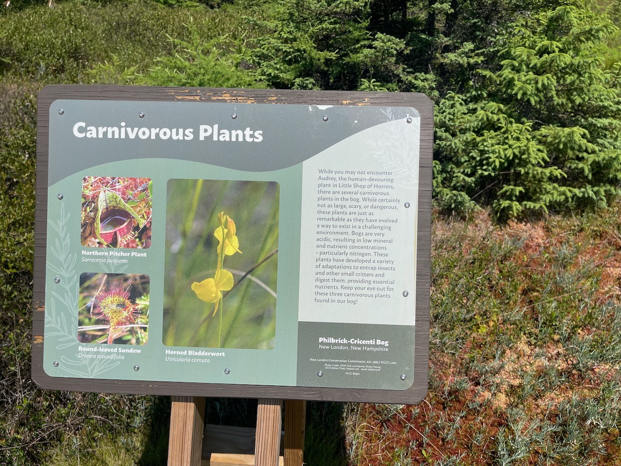
Sign talking about carnivorous plants
This loop has a lot of informative signs along the trail that explain different features of the bog.
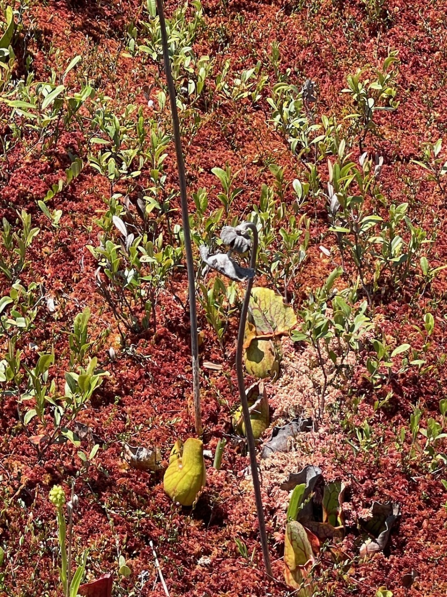
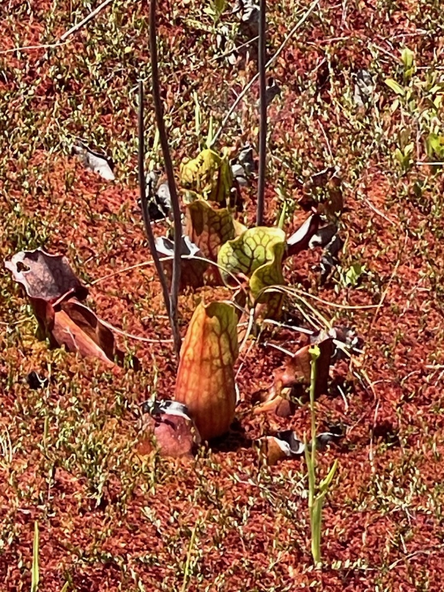
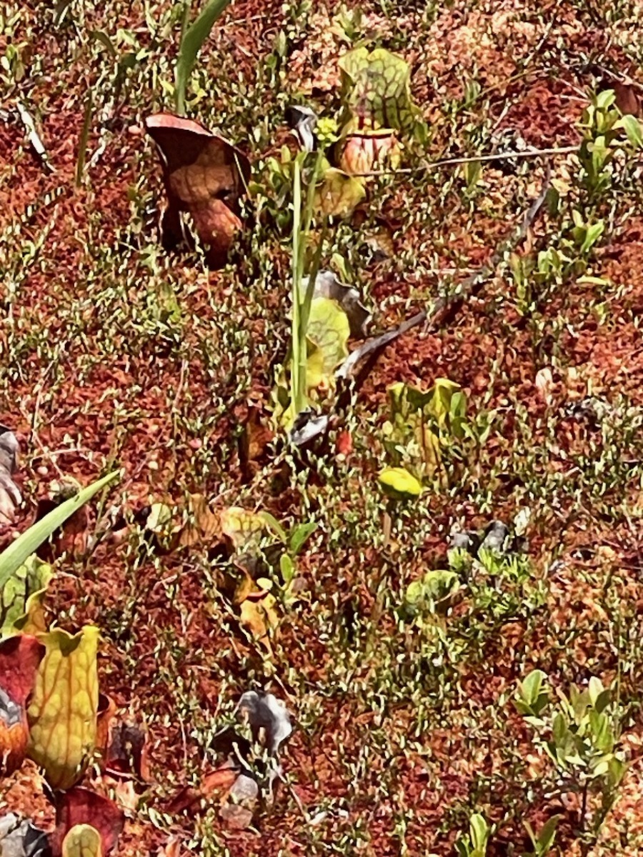
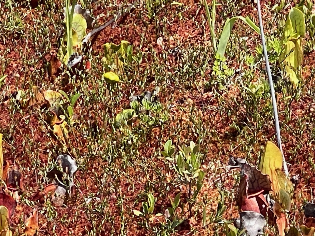
Northern Pitcher Plant
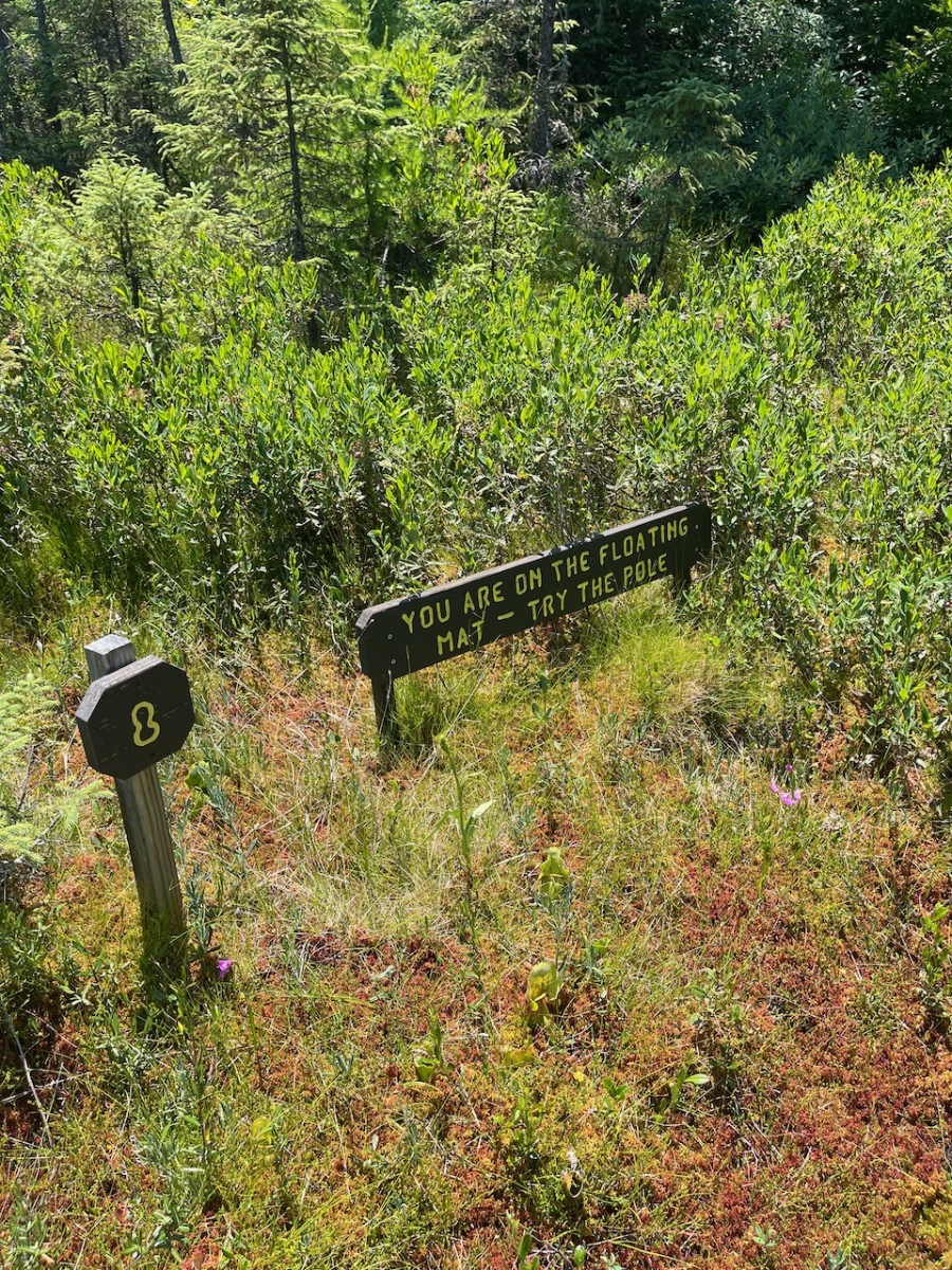
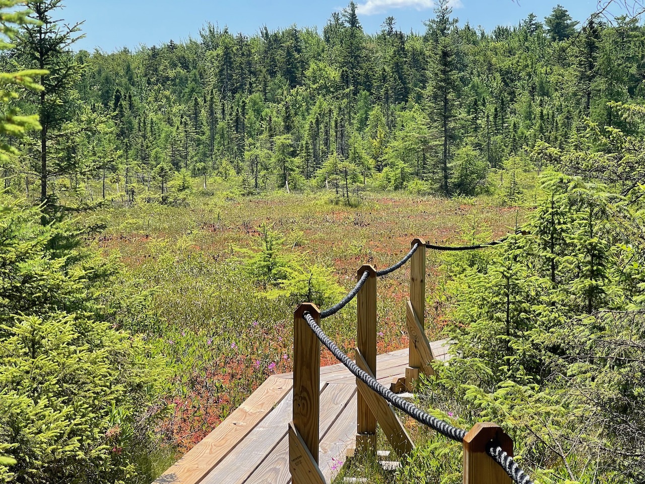
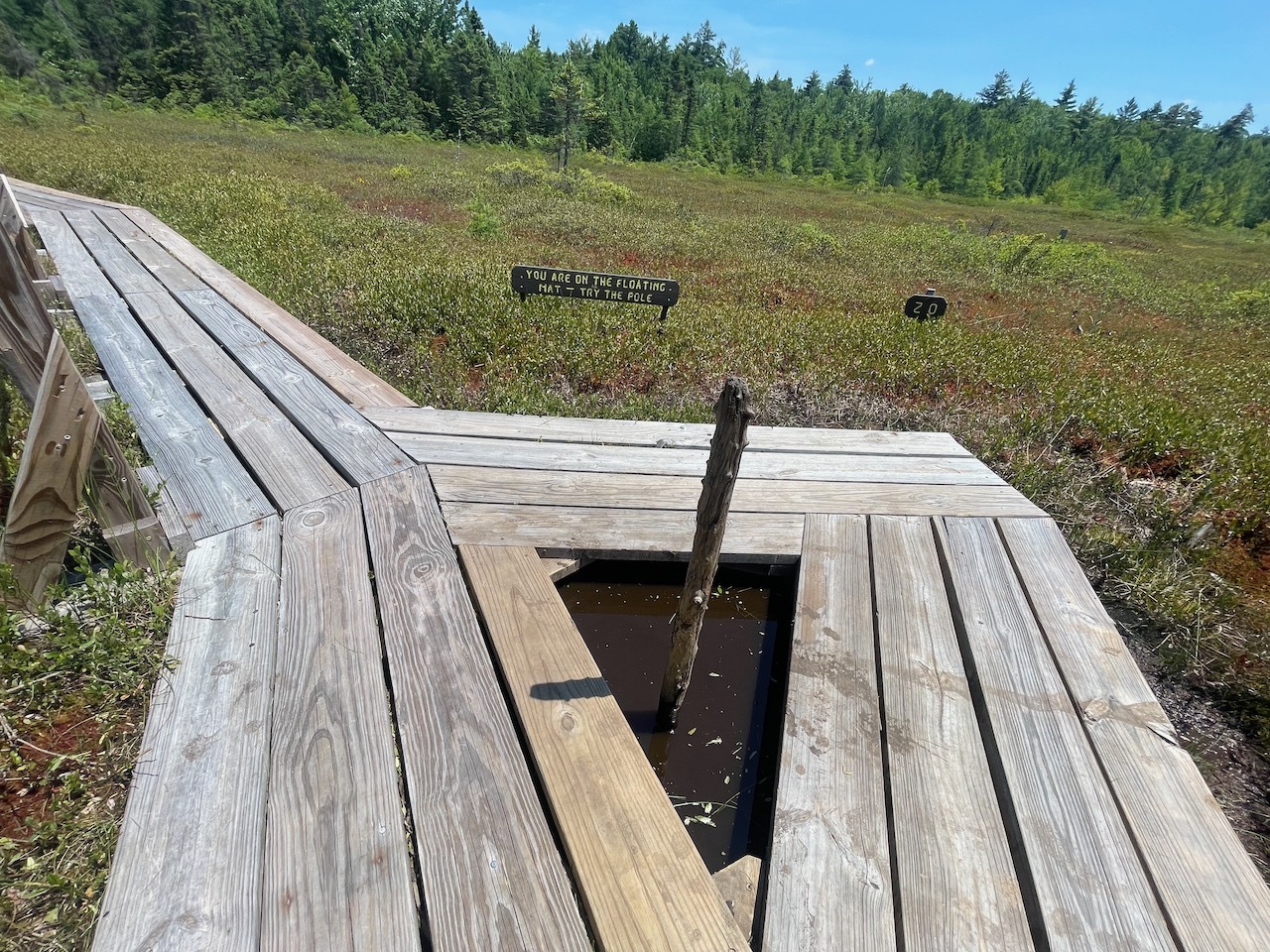
Eventually this trail takes you out to a “Floating Mat” of vegetation on top of water. The ground looks solid but if you step on it you could go down as far as 20 feet. I sure am glad to have these sturdy trails that take us out there.
Spruce Loop Sign
I came upon one sign that talked about carnivorous plants in the bog. There are three different kinds of these plants. I only saw one of them, but the others may be out of season.
Standing on a floating mat of vegatation. That pole goes about 20 feet down
The loop ended back in the forest where it began and I made my way toward the Tundra Loop. This loop is similar. It leads you out to the open bog area were I was again standing on a floating mat.
Sign explaining the depth of the bog
I saw a pole in the bog and a sign that said to pull it out. It was about 20 feet down in the mucky bog. It was pretty impressive.
Bog selfie
The loop again took me through the forest and then back to the main junction of the two loops. Then back to the car.
Board walk on the way back
This was a quick stop but very interesting. I’ll have to come back when the carnivorous plants are in bloom. I think I was a little late this year. If you find yourself in the area you should check it out.
Ok, first, this is not the Bald Mountain that is on the 52 with a view. This is a smaller mountain across from Cannon Ski area and Echo Lake State Park.
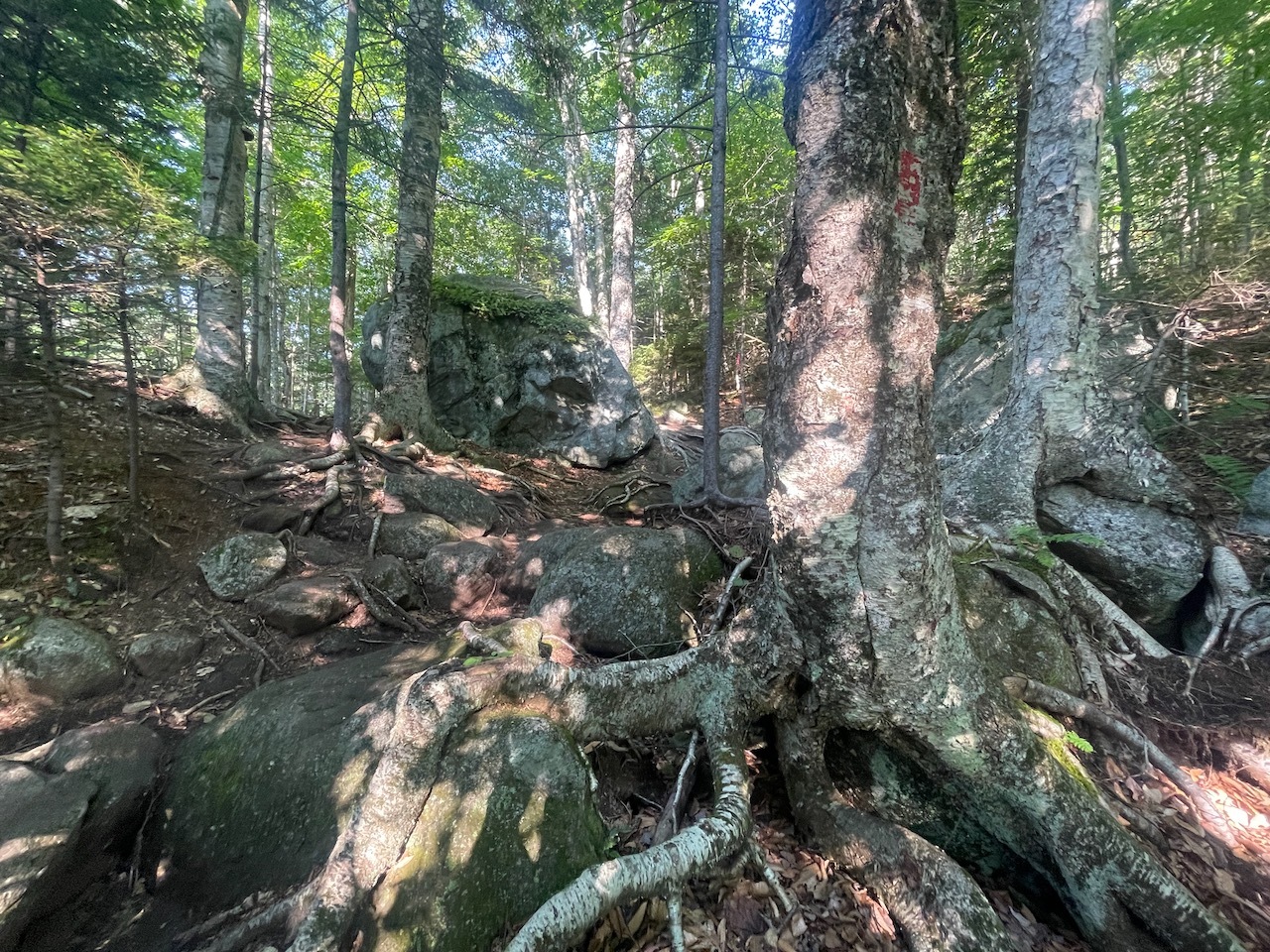
Gnarly Trees
The forecast was calling for another hot and humid day in New Hampshire. Because of this I choose to hike Bald Mountain. This is a small, short hike and extremely popular during leaf peeping season.
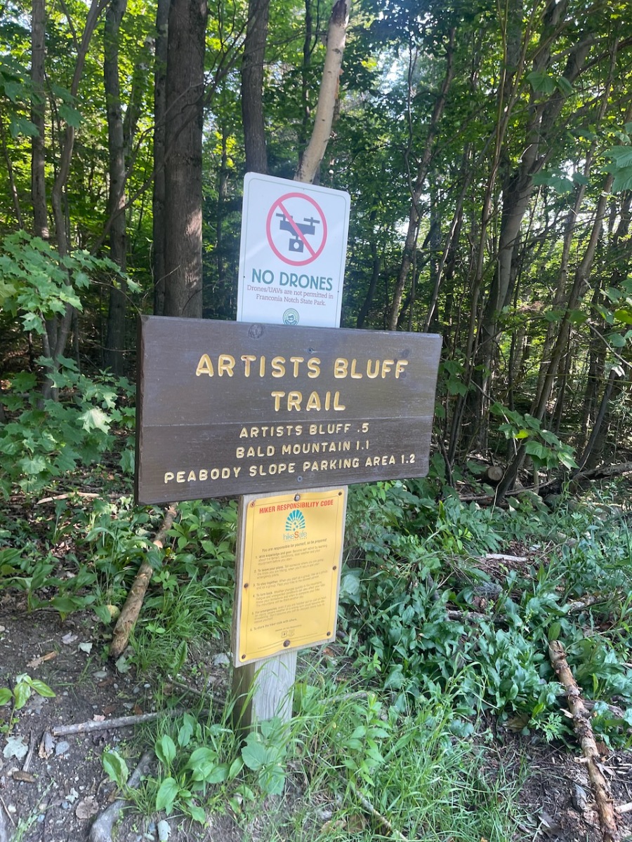
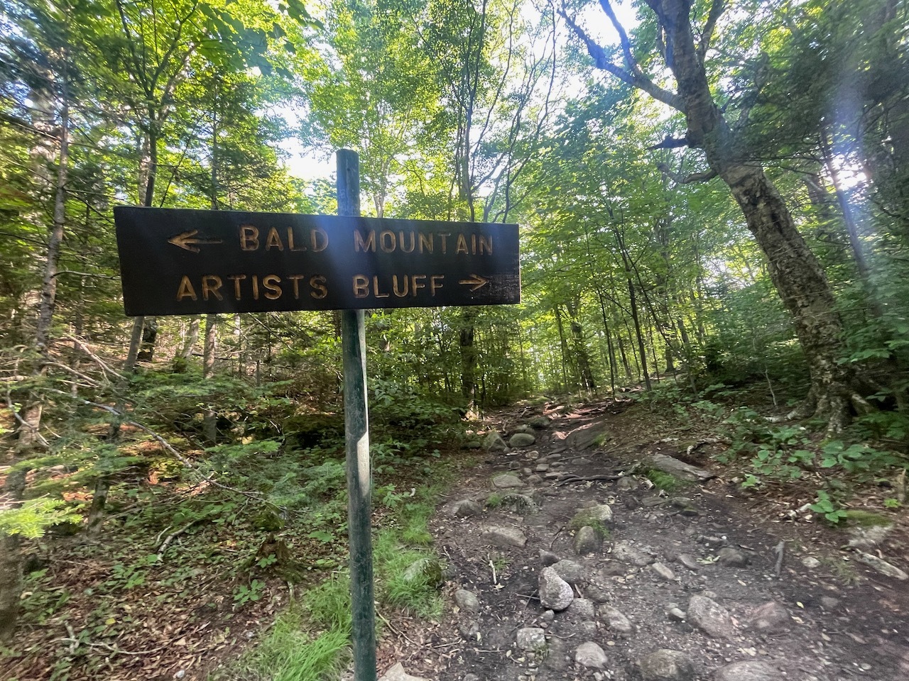
Sign by Bald Mountain
I’ve done this loop before and been to Artists Bluff a number of times but never made the short jaunt to see the Bald Mountain Summit.
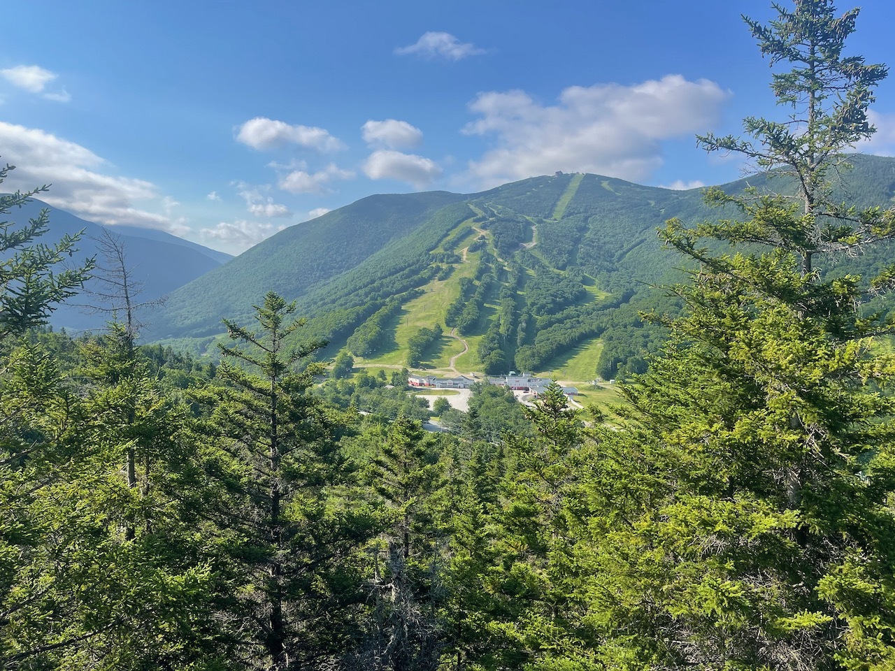
First views over the trees
I started out by parking in Echo Lake State Park. My plan was to take a dip in the lake after the hike. From here I walked across the street to the trail head. It was 73 degrees at The was perfect! 8am and very humid.
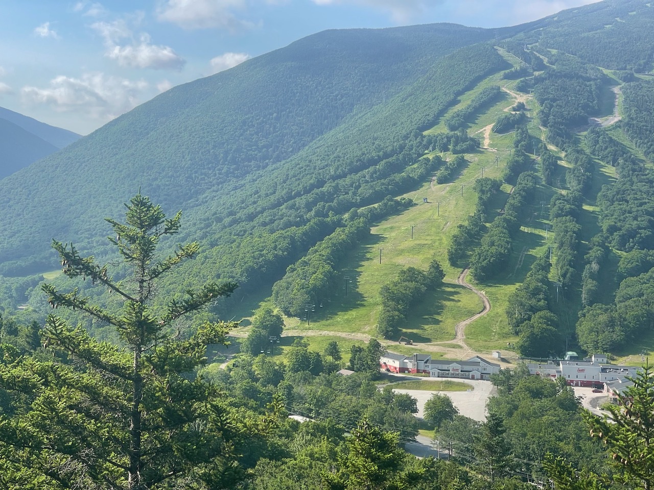
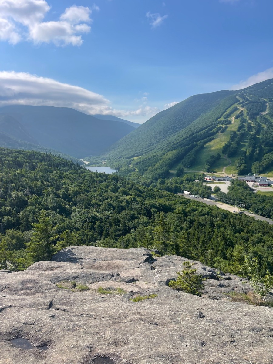
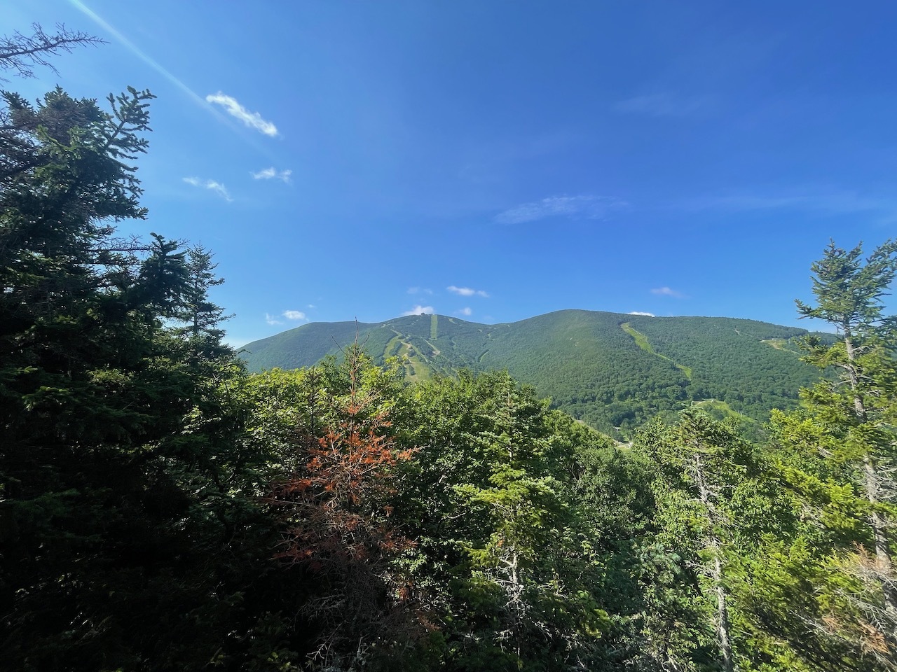
Beautiful view of Cannon Mt., Echo Lake, and Franconia Notch
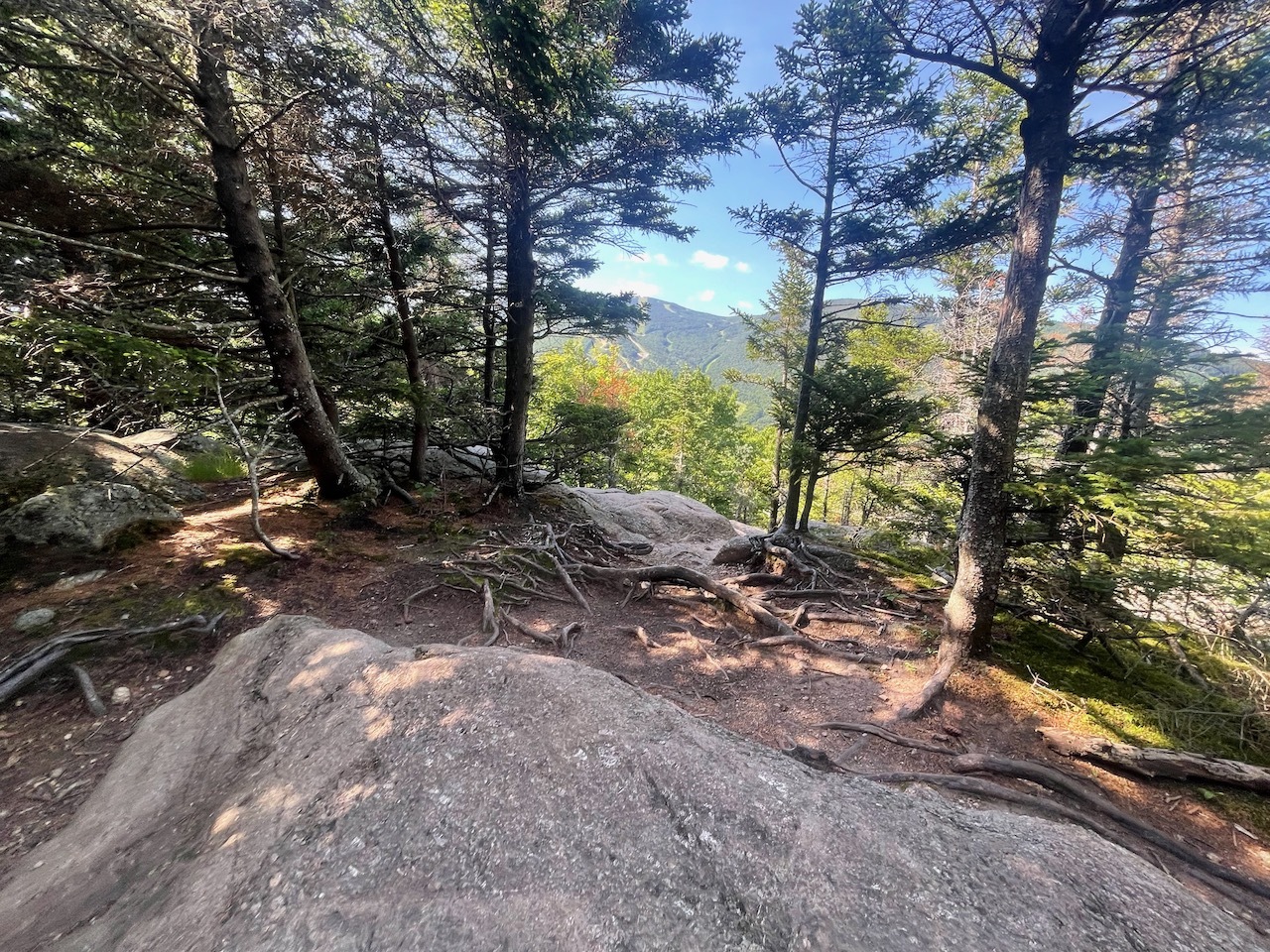
I did the loop clock-wise. The first section of trail is pretty easy and gradual. One thing I love about Franconia Notch in particular are all the gnarly trees wrapped around rocks.
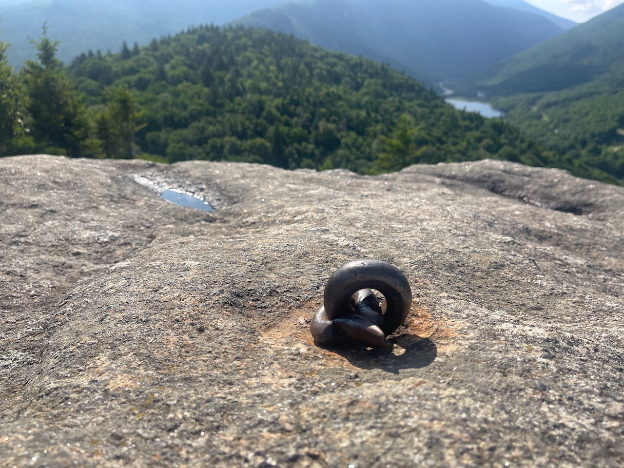
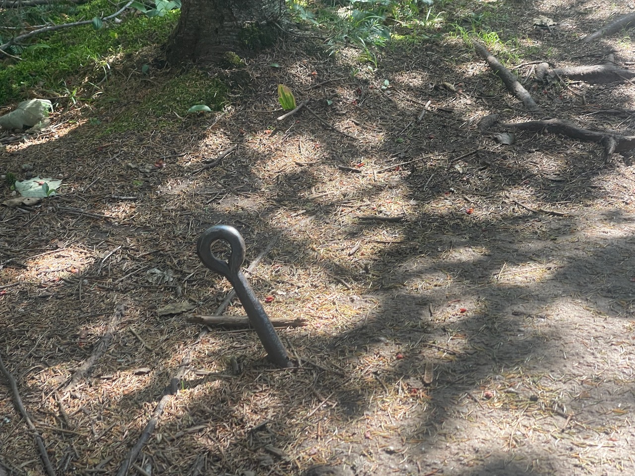
One of the old bolts that used to hold a viewing platform for guests that would travel from the Profile House in the late 1800’s and early 1900’s.
The trail comes out into a junction then starts to climb the mountain. It also leads to the alt parking lot across from Cannon Mt.
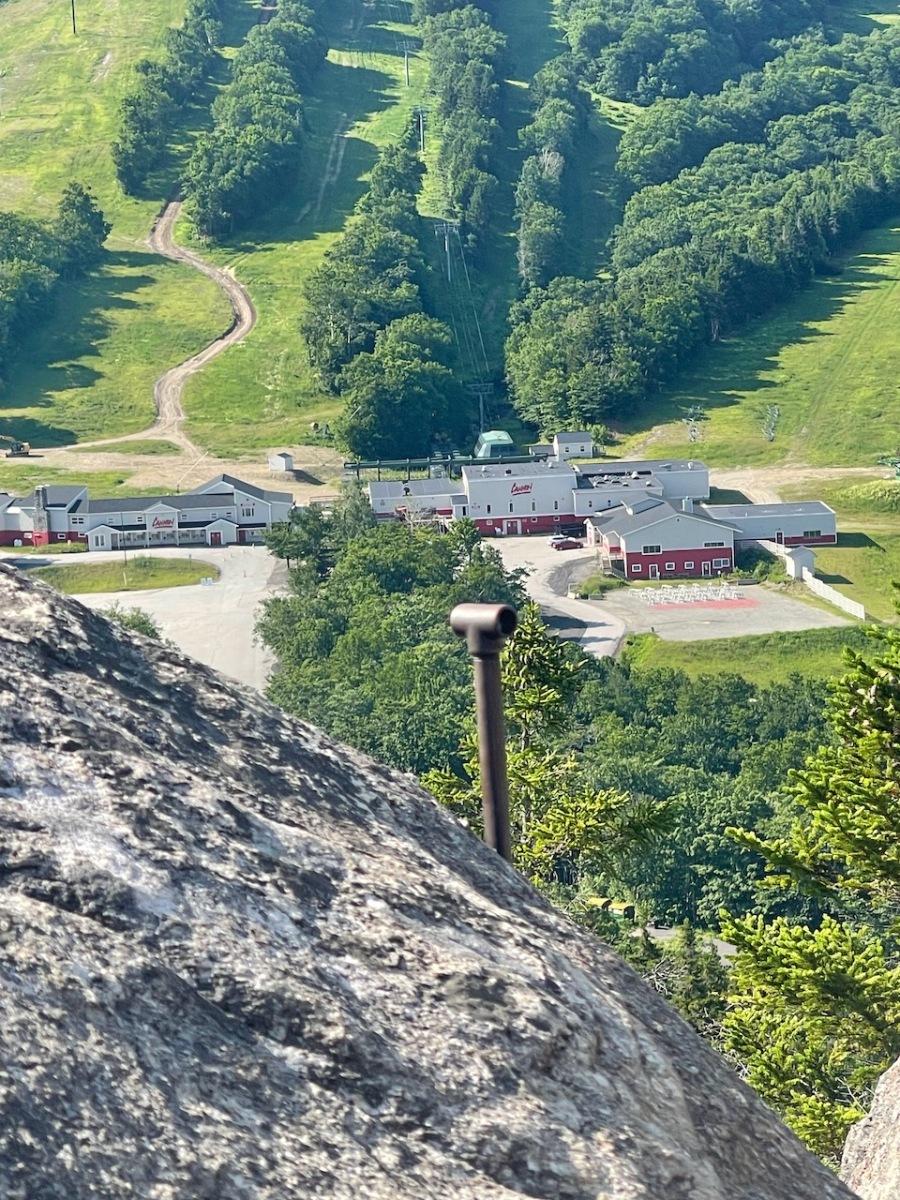
Another iron pole that was likely part of a hand rail a long time ago.
This trail starts to climb steadily until I reached the other junction where I could continue on the loop or ascend Bald Mountain.
Almost to the top of Bald Mountain
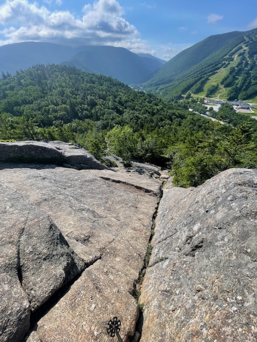
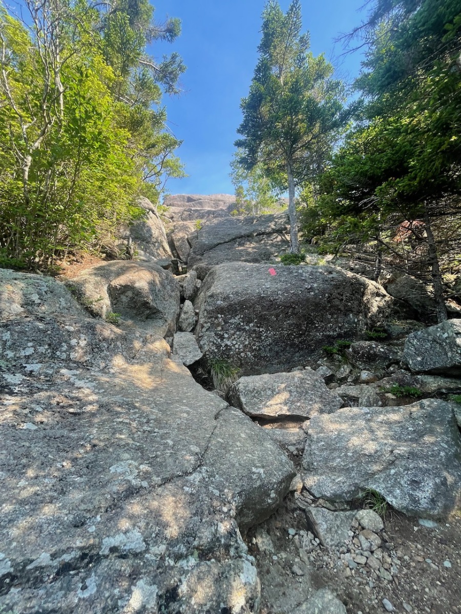
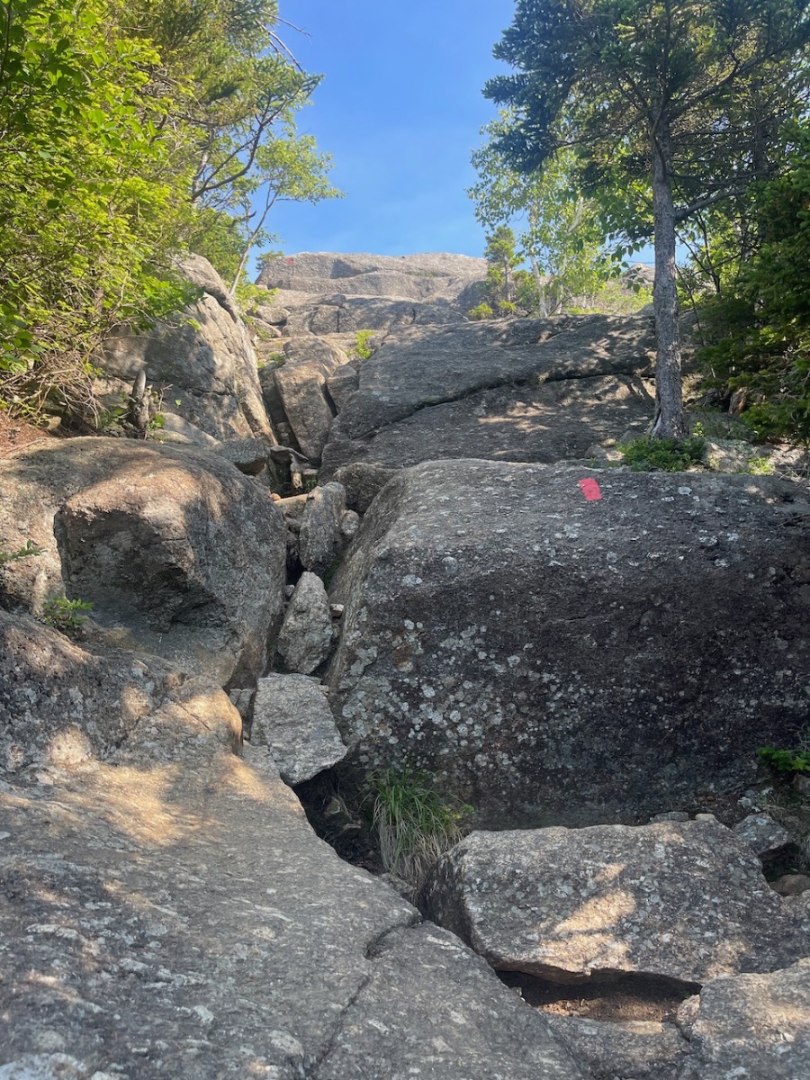
The trail up to the summit is not long but it does have a few sections that are open and rugged. I had to climb on all fours for a spot or two.
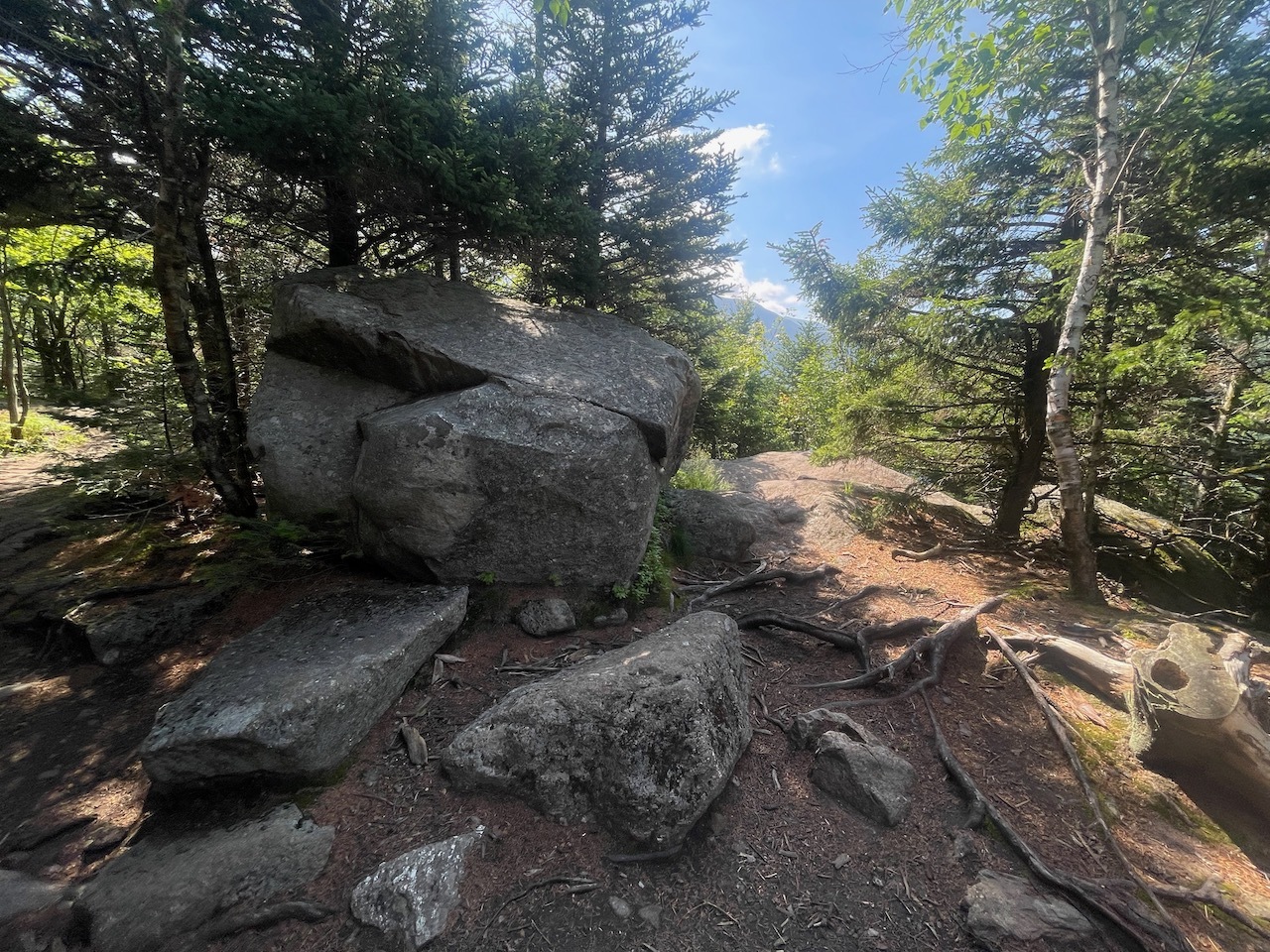
This is one of the small steeper sections of this trail.
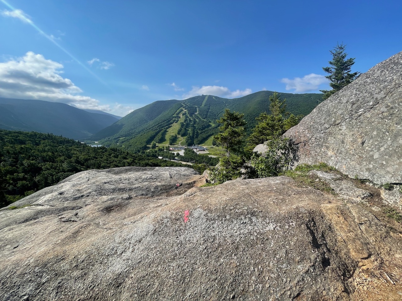
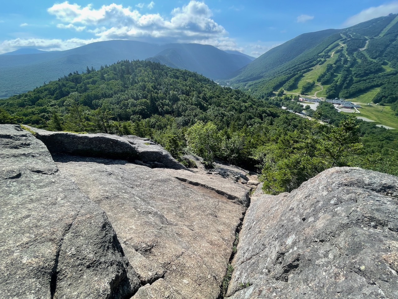
At the top there were a couple people but some amazing views of Cannon, Echo Lake and Franconia Notch. There are also other great views in all directions.
Beautiful view of Cannon Mt., Echo Lake, and Franconia Notch
For a few minutes I even had this summit all to myself but eventually more people were starting to come up so grabbed my bag and kept moving.
Trail from Bald Mountain to Artists Bluff
The loop trail that goes across a small ridge to Artists Bluff was well maintained. It was also, rocky and rooty as you would expect.
Bluff Sign
When I got to the other high point there was a small view and a large rock. I didn’t stay long, just enough for a few pictures.
People enjoying the cool waters of Echo Lake
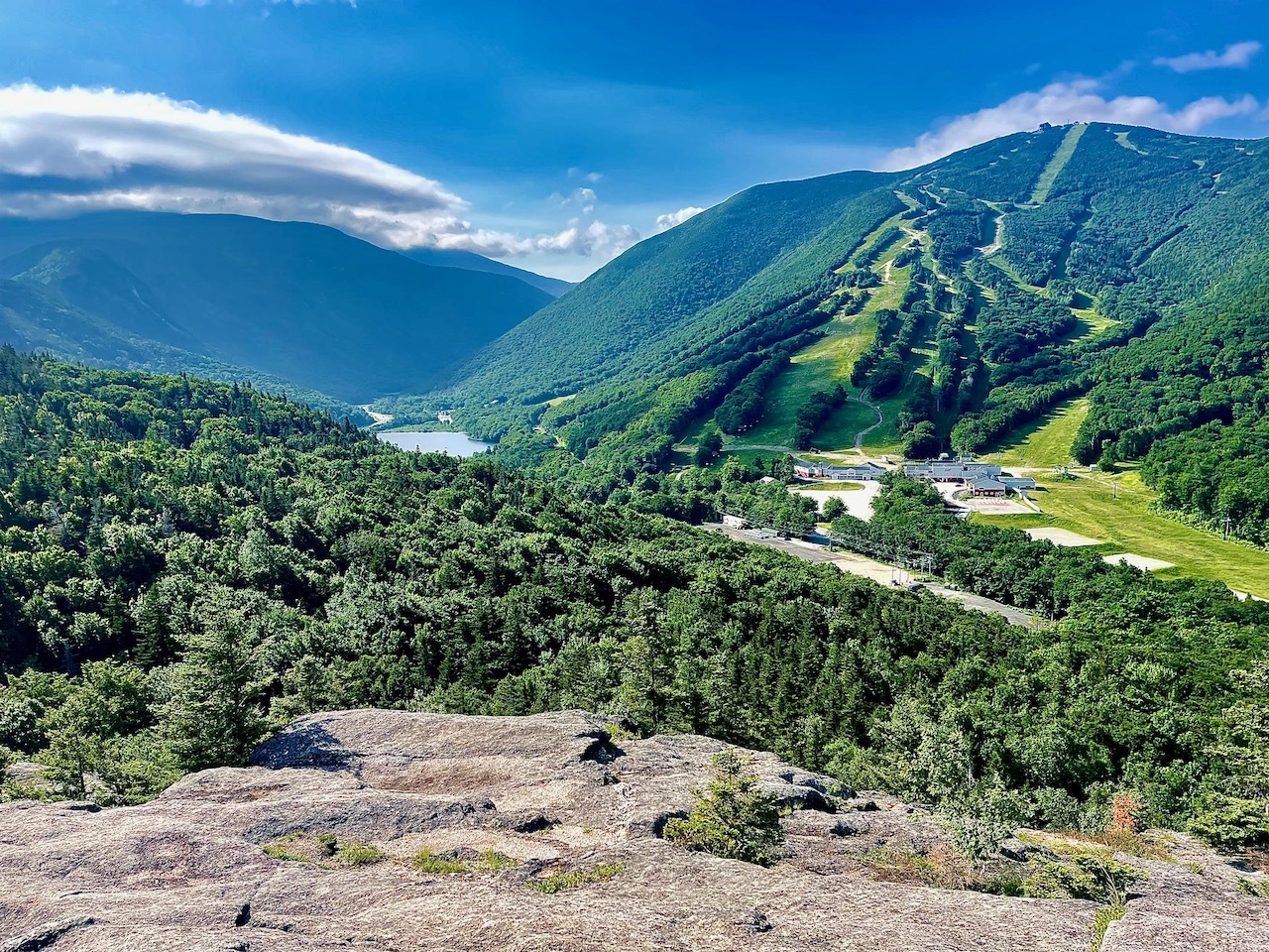
I continued on down to the bluff. After a few minutes of walking I could start to hear people and I knew I was close. When I got to Artists Bluff there were about 30 people on the open ledge and more coming.
View of Franconia Notch from Artists Bluff
I hung out for a bit and had a drink of my iced tea and took a few pictures before heading down. The trail down is pretty steep but had good footing. The trail is not long so I was down in no time.
Selfie on Artists Bluff
Once back at the car I dropped off my bag. I forgot a towel, so I had to buy one at the beach store and get one. Then I headed in the lake. A little warm near the shore but the deeper it got the colder it got. It was perfect!