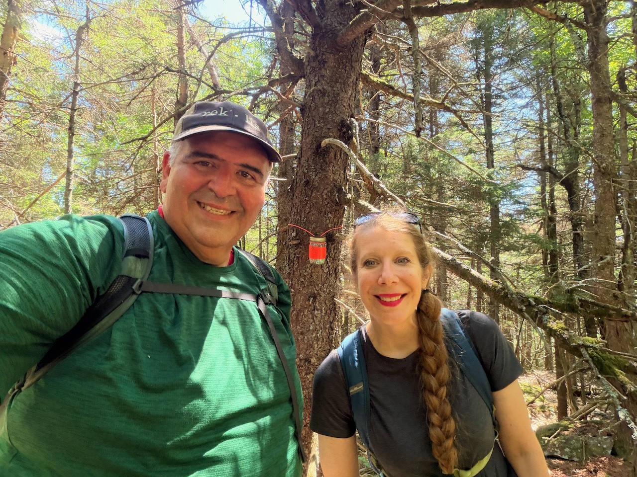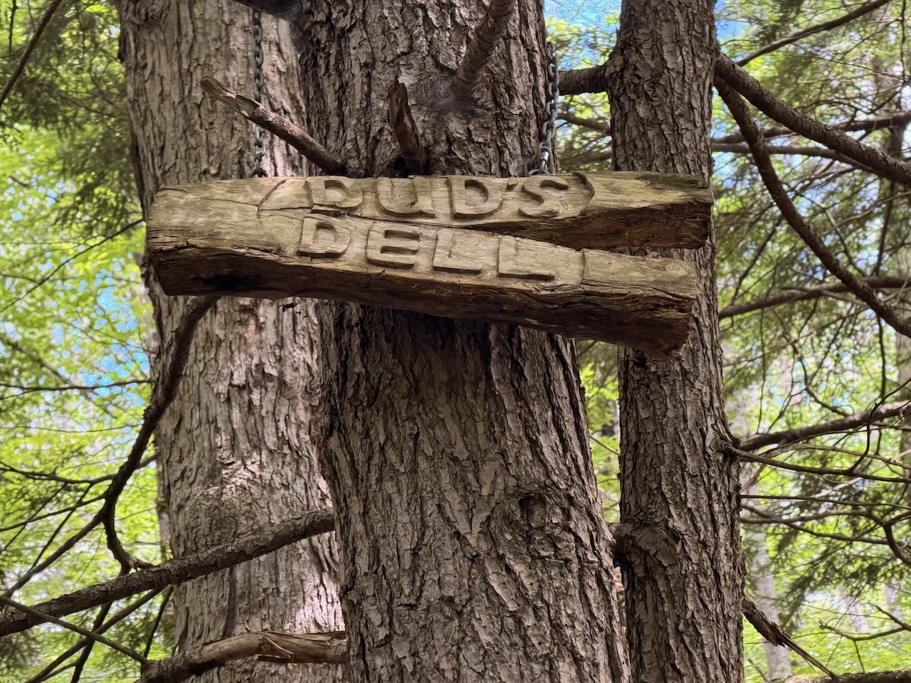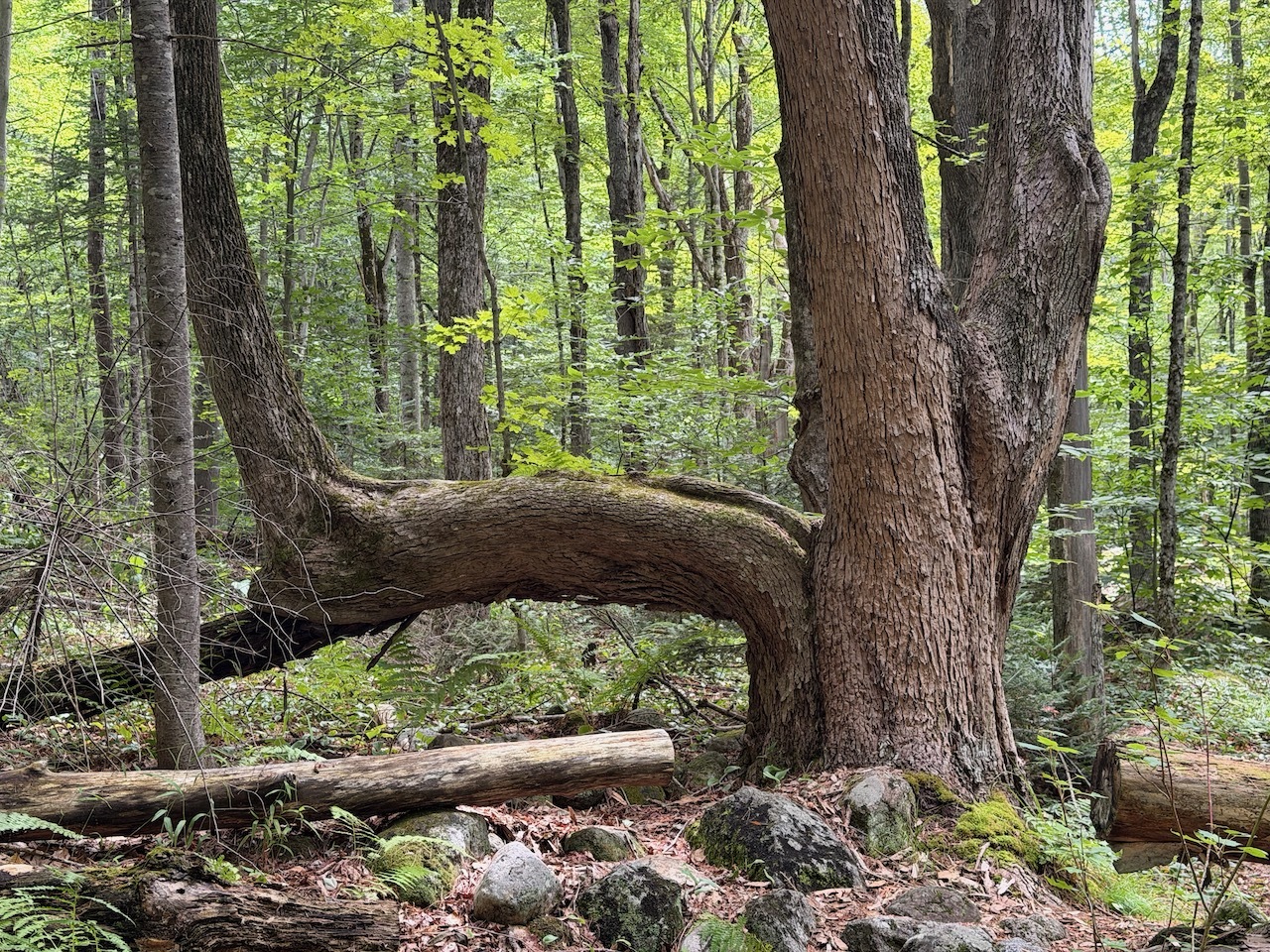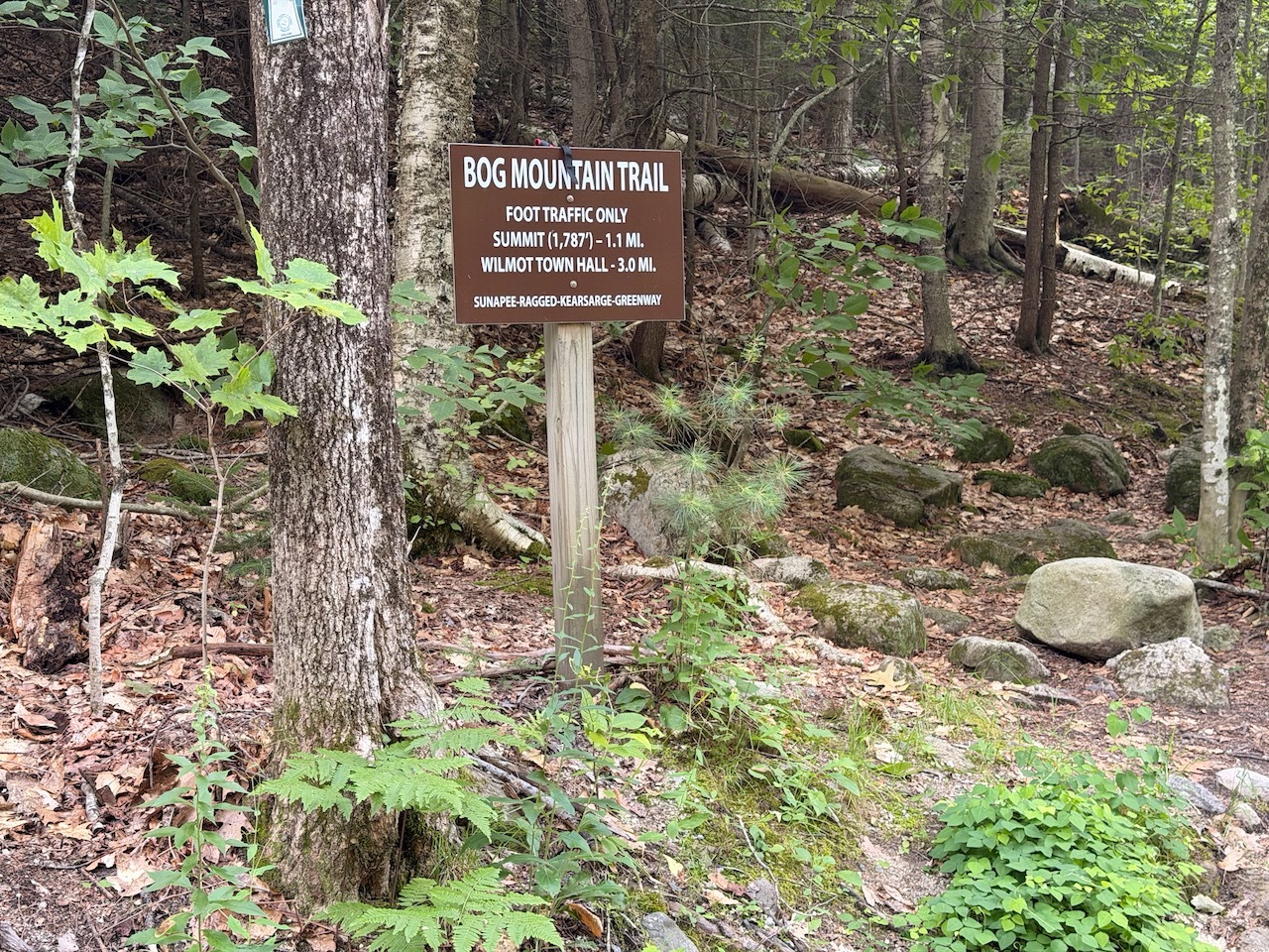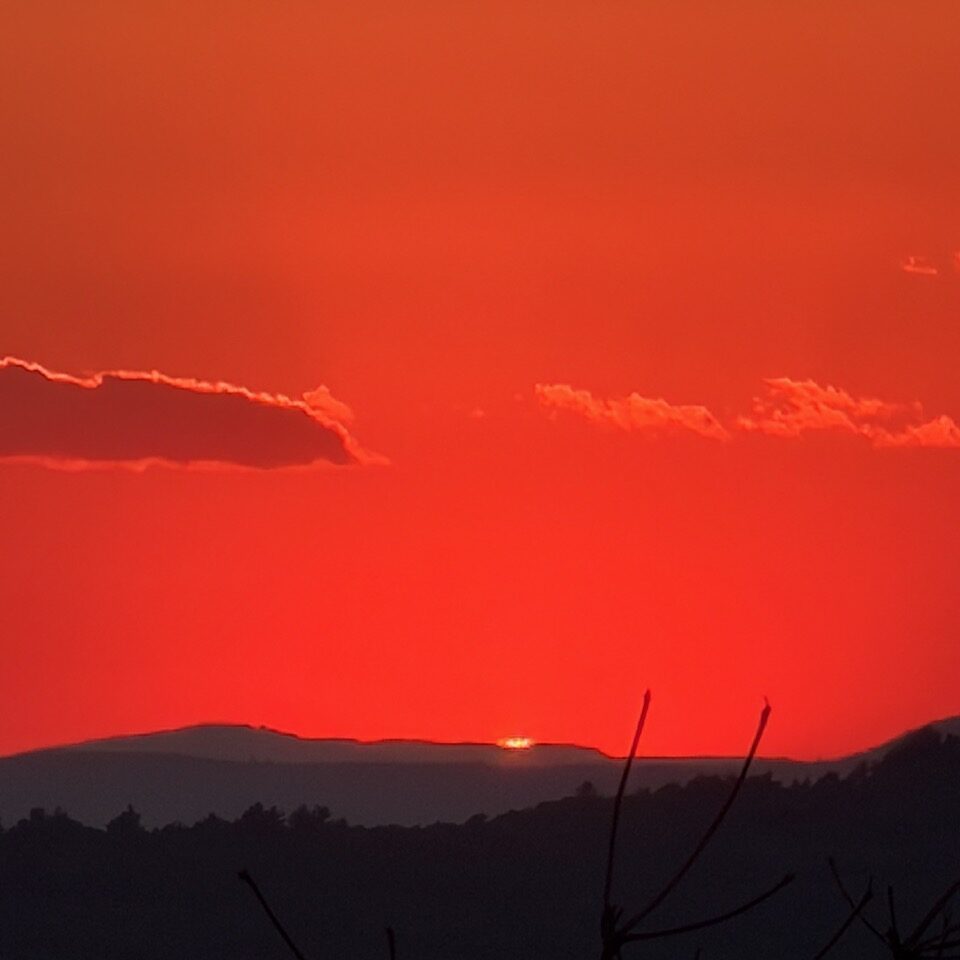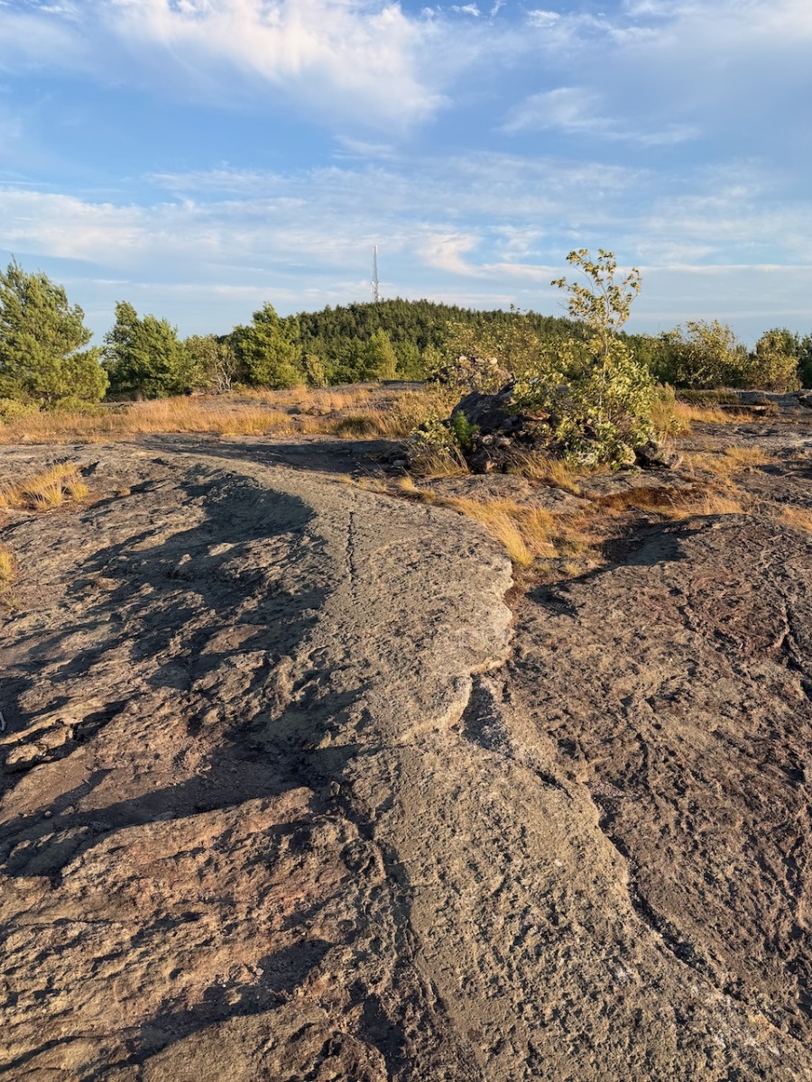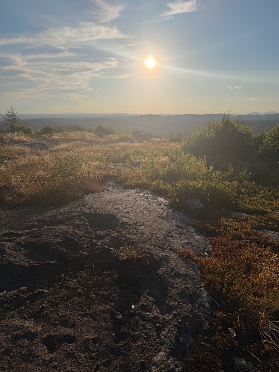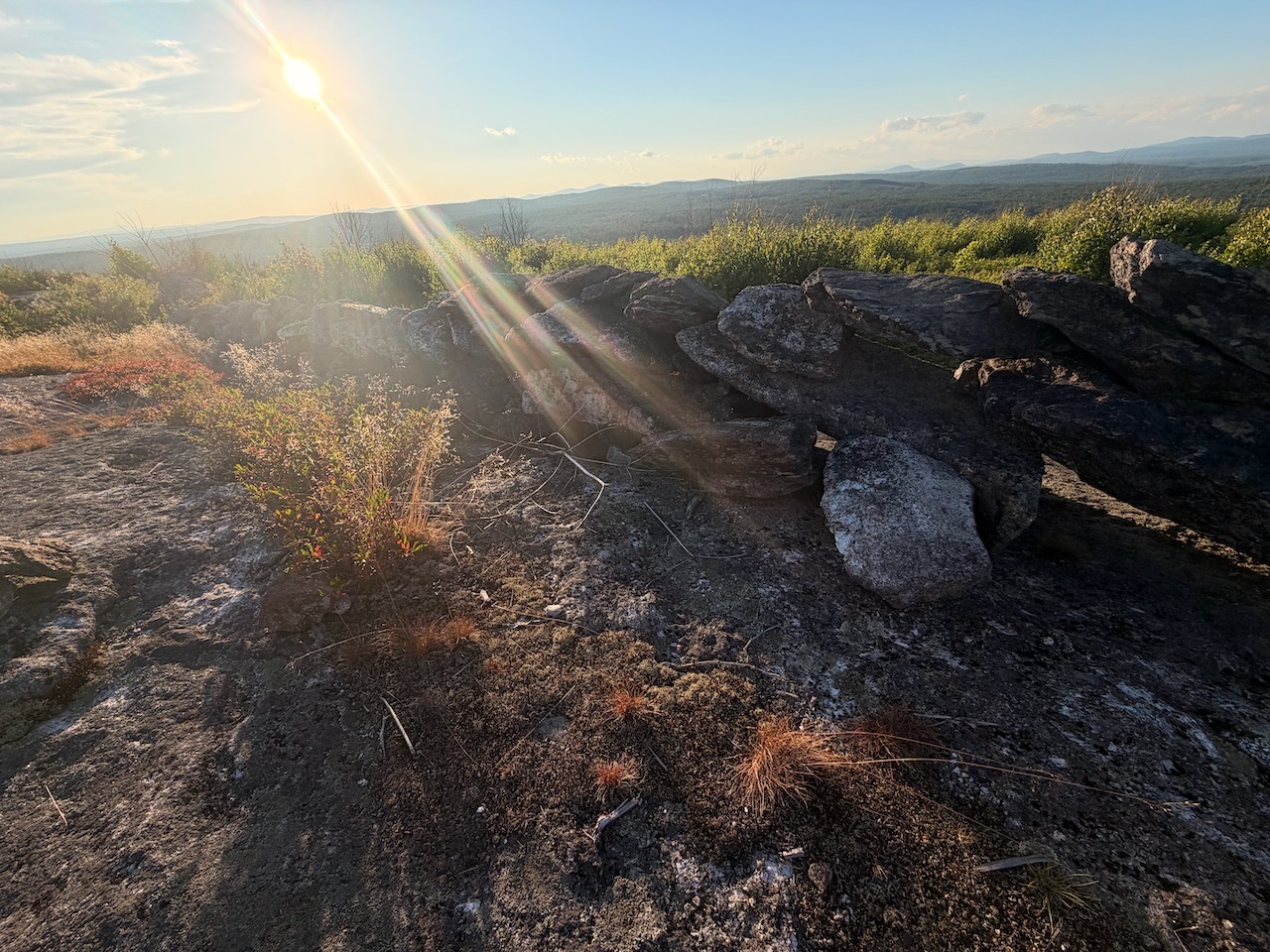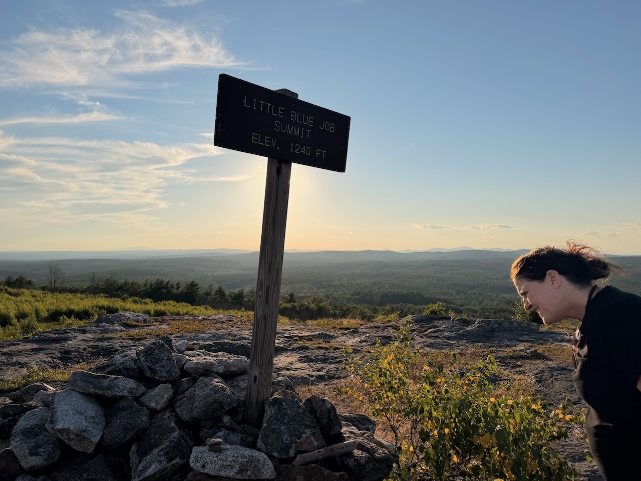
A friend of mine had brought this to my attention a while back. So today I decided to check out this funny named hill and forest network system.
Kiosk at the parking lot
Map of some of the trails
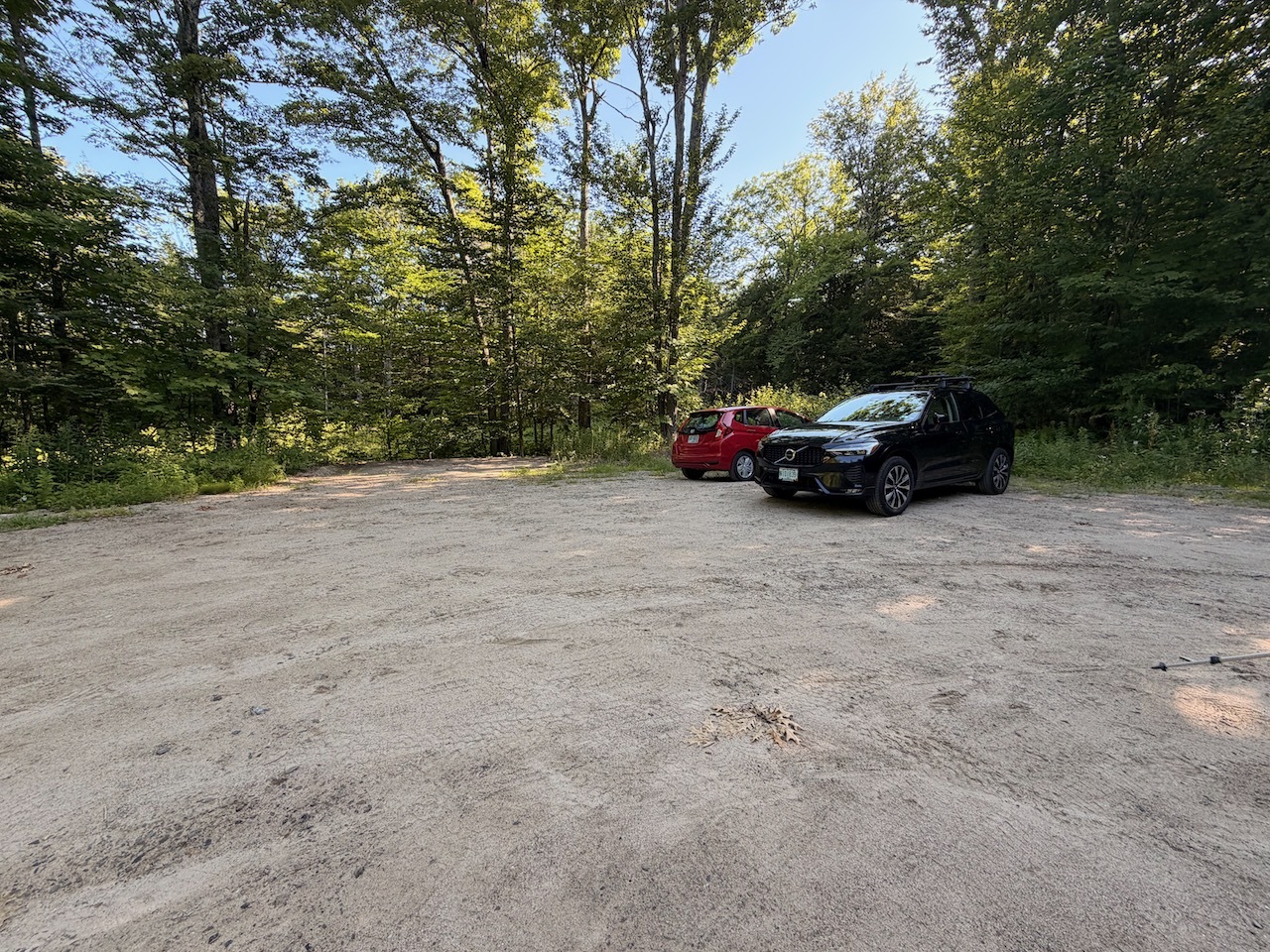
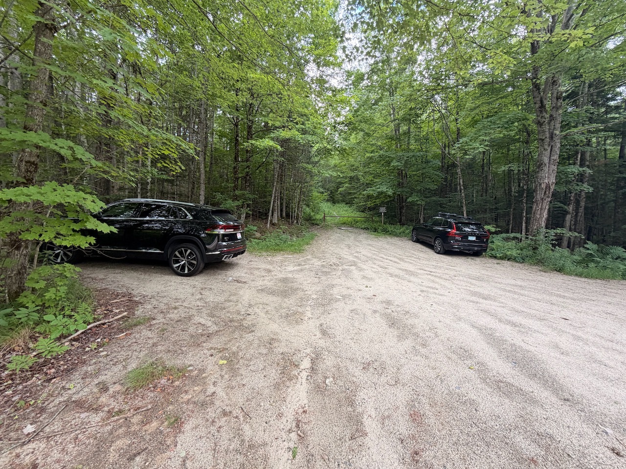
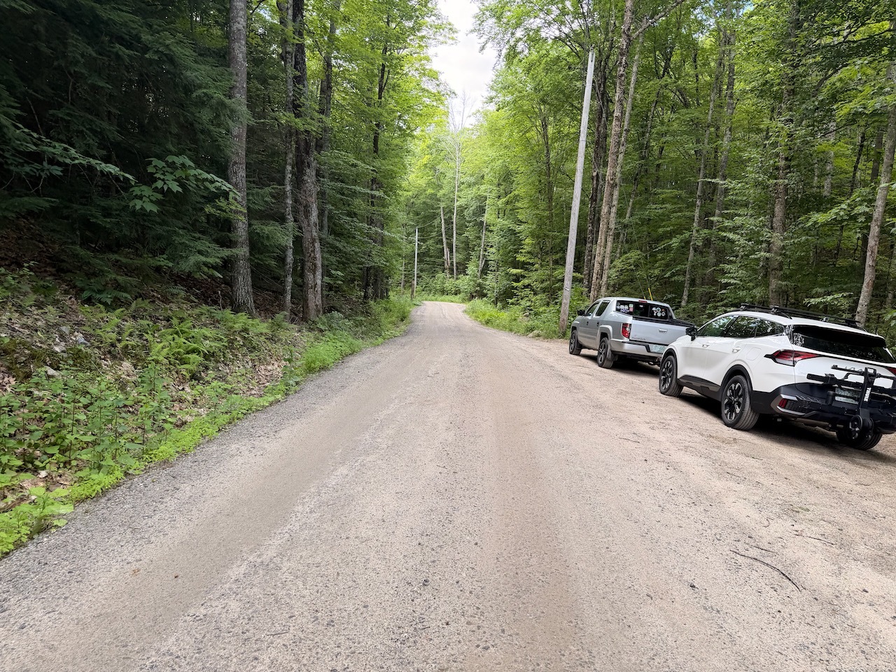
The road for the parking is right off Rt. 202. The primary parking at the kiosk was full so I had to park in the overflow lot I passed on my way in. It is just a hundred yards from the main lot.
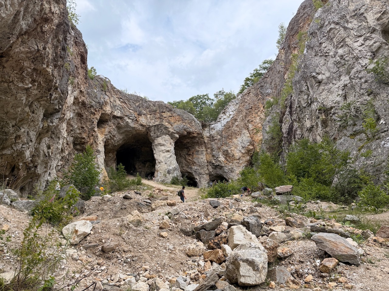
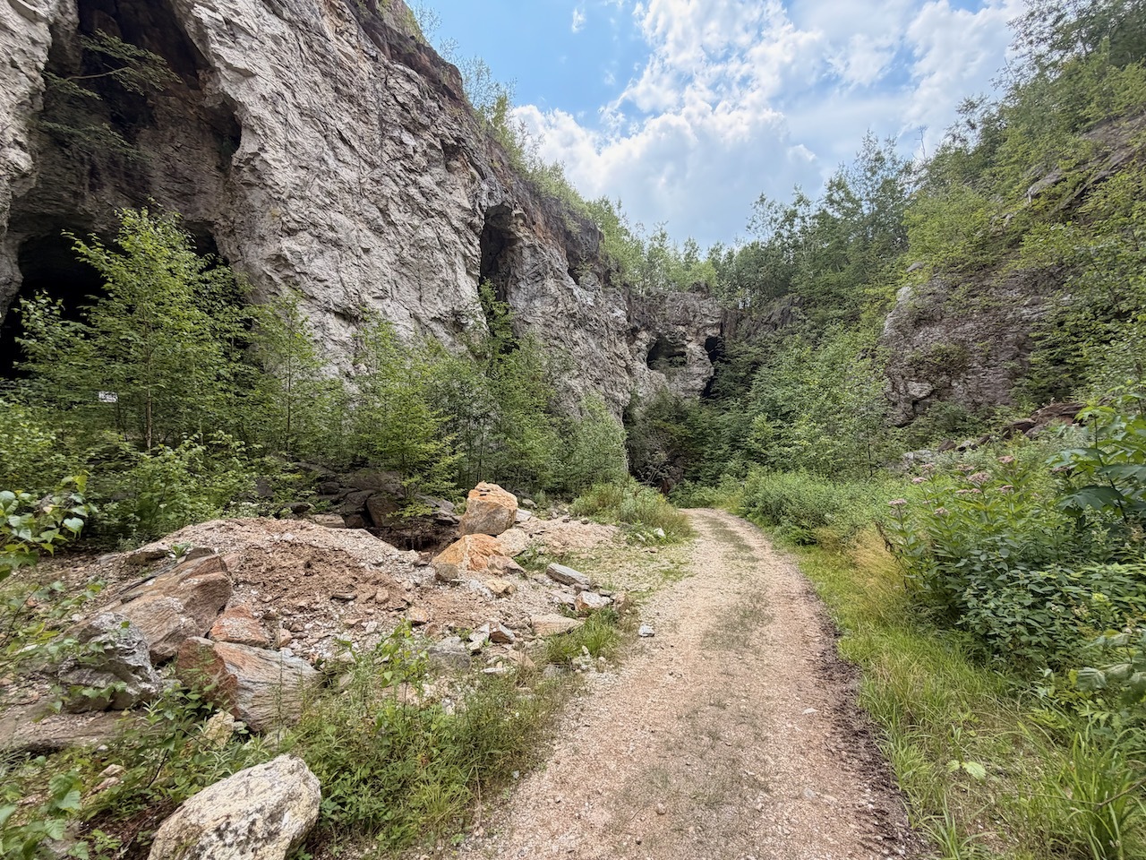
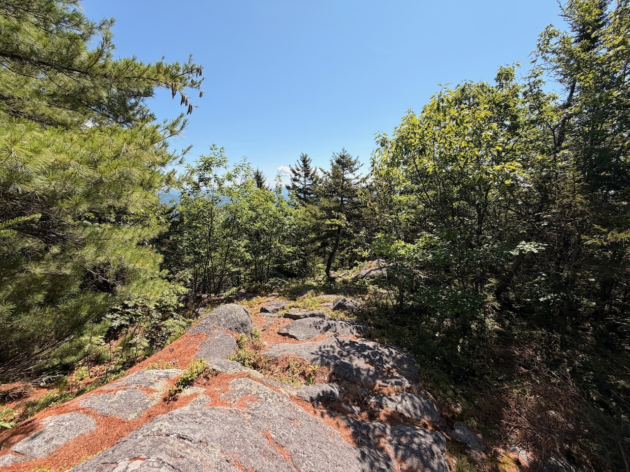
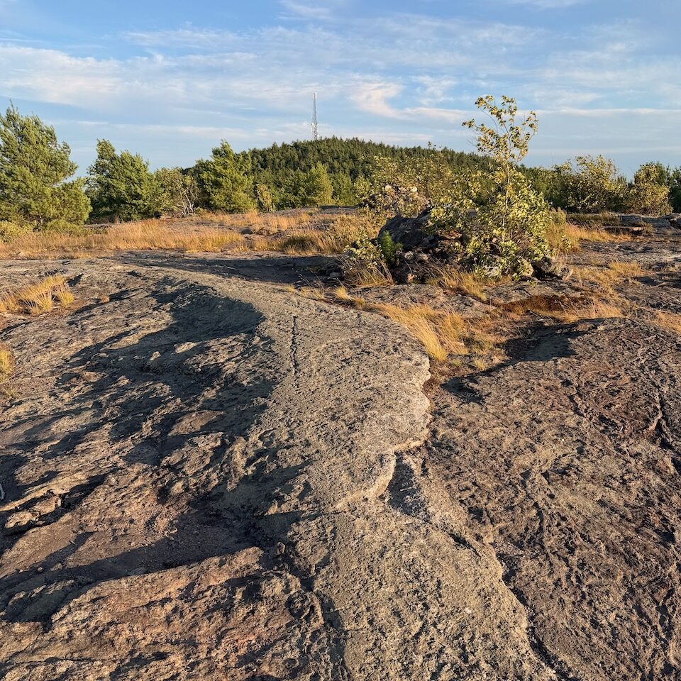
Some ledges on the Ledge trail
Weather was really nice. A few bugs
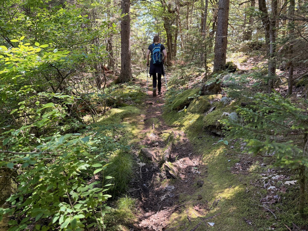
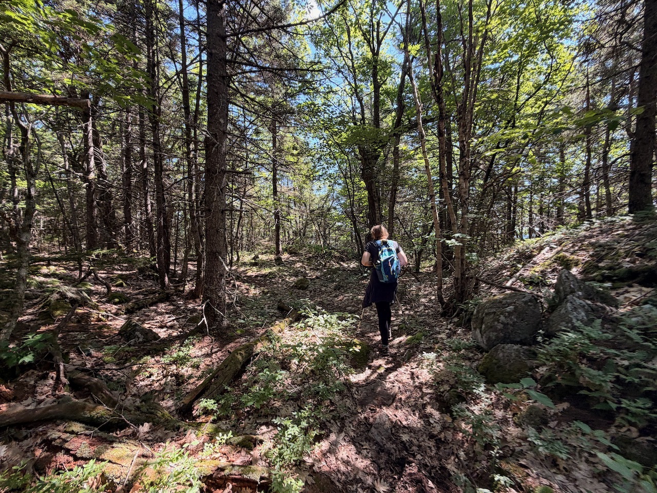
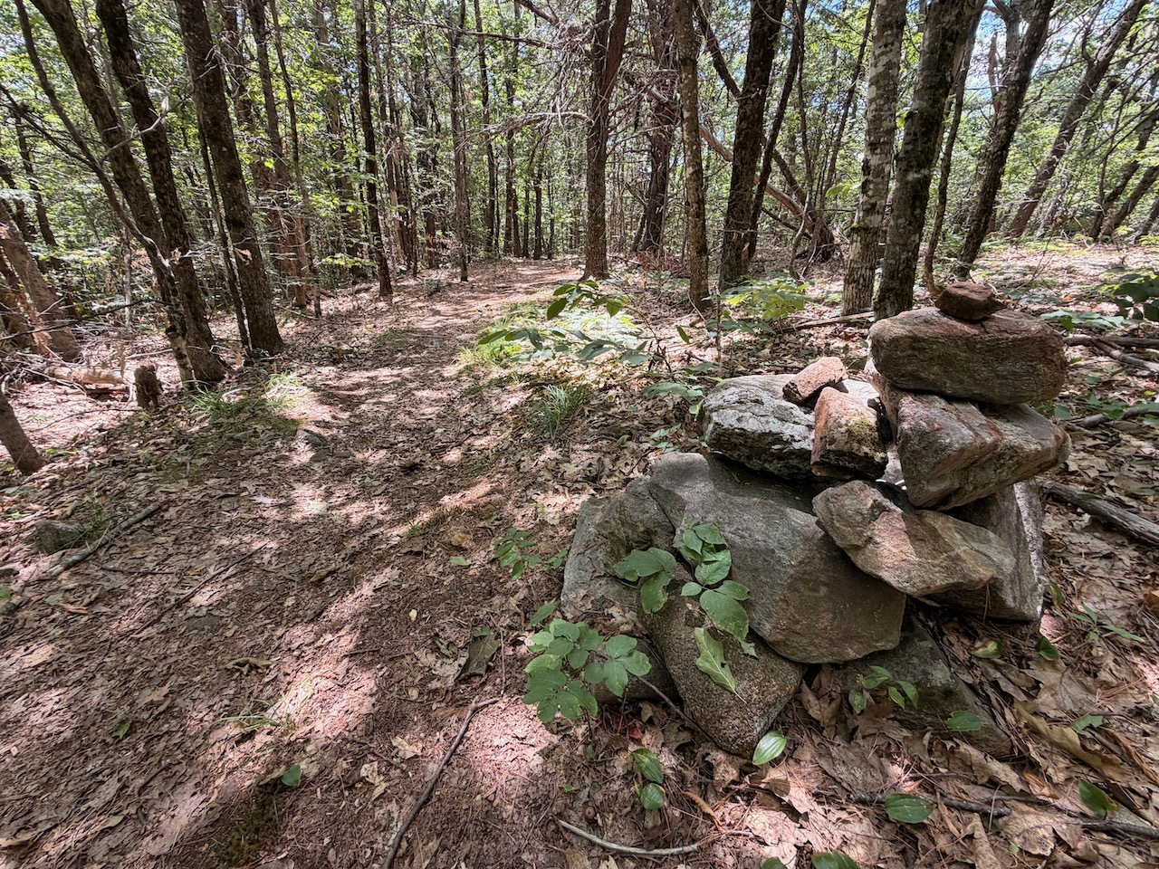
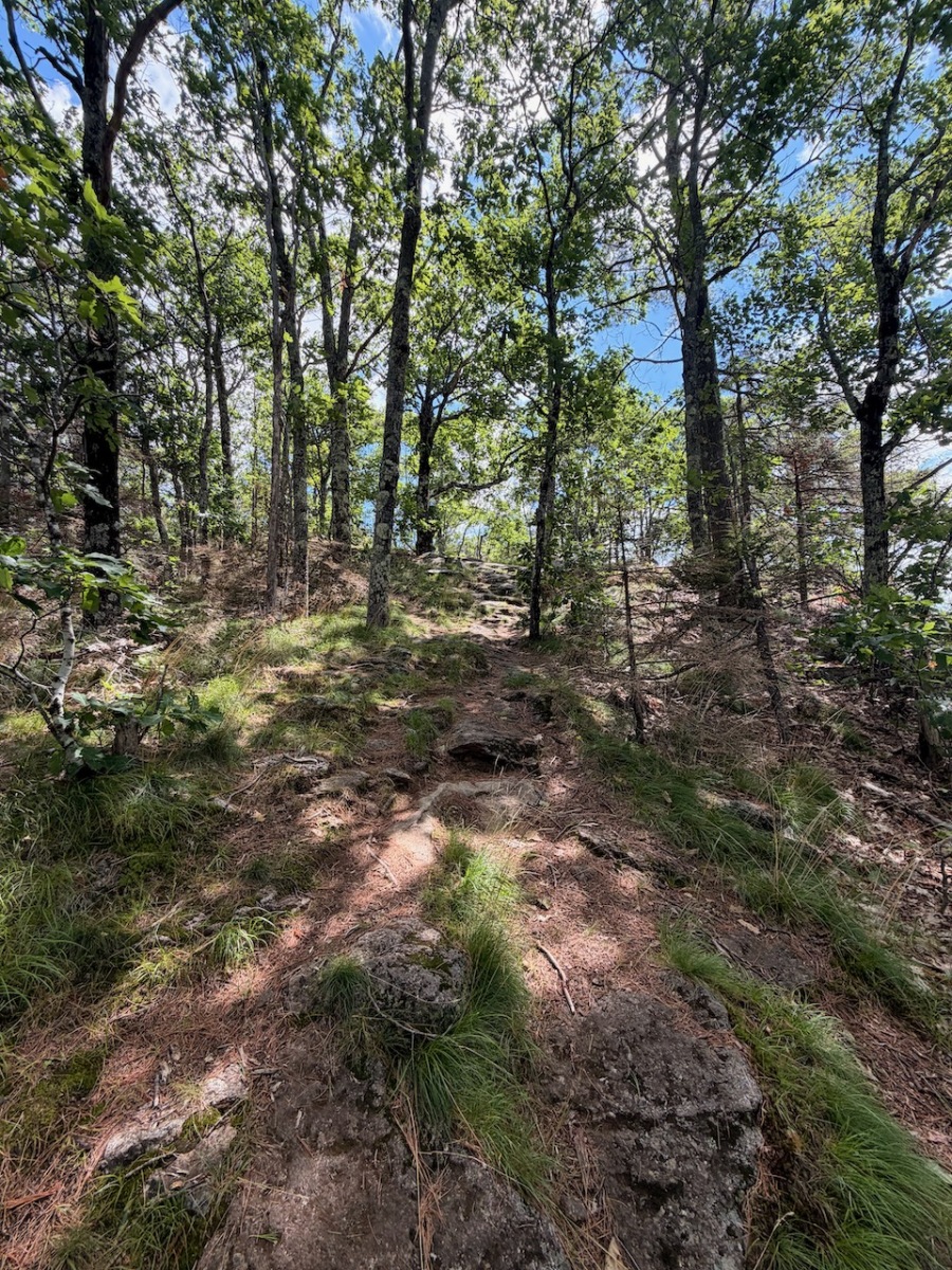
Started up the hill on a gated road. The trail kind of meanders through the woods a bit till I came to a junction. I took this little scenic detour loop over to the ledges.
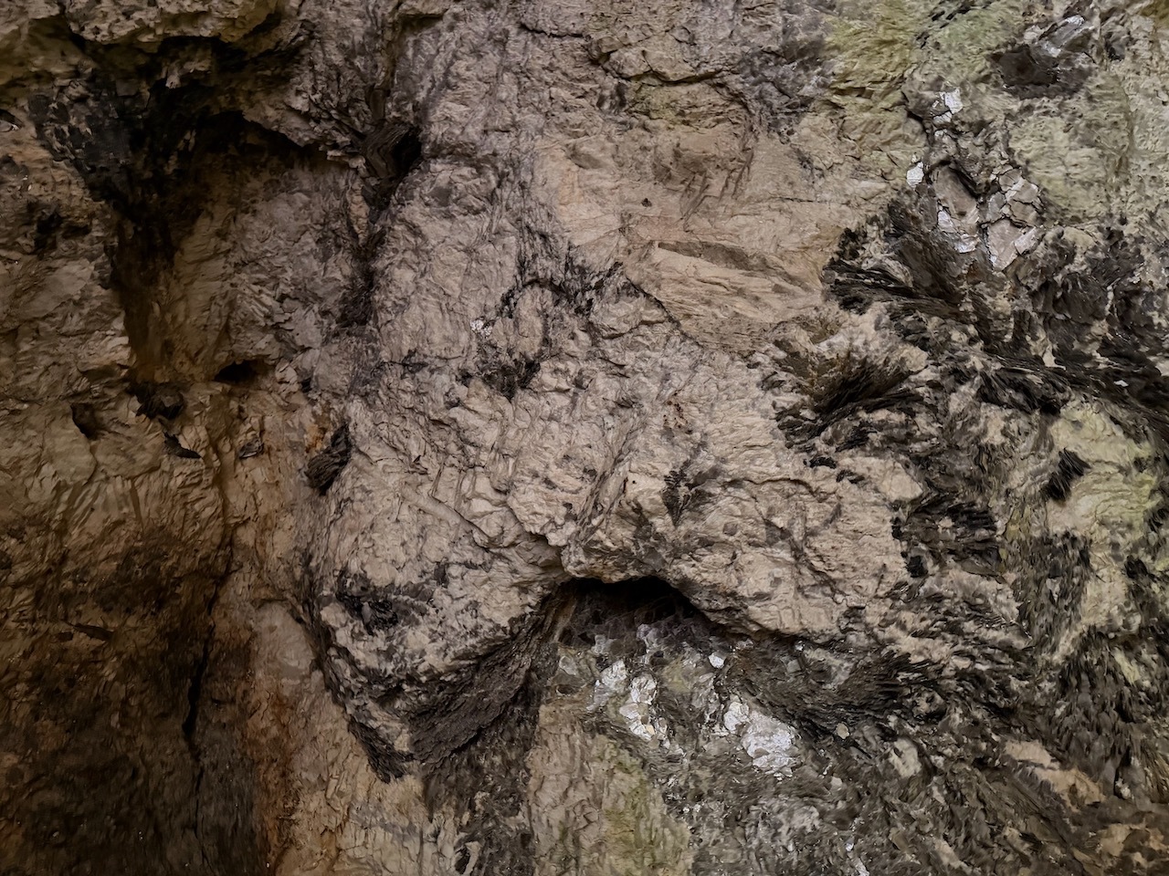
Some interesting plants growing on the rock walls
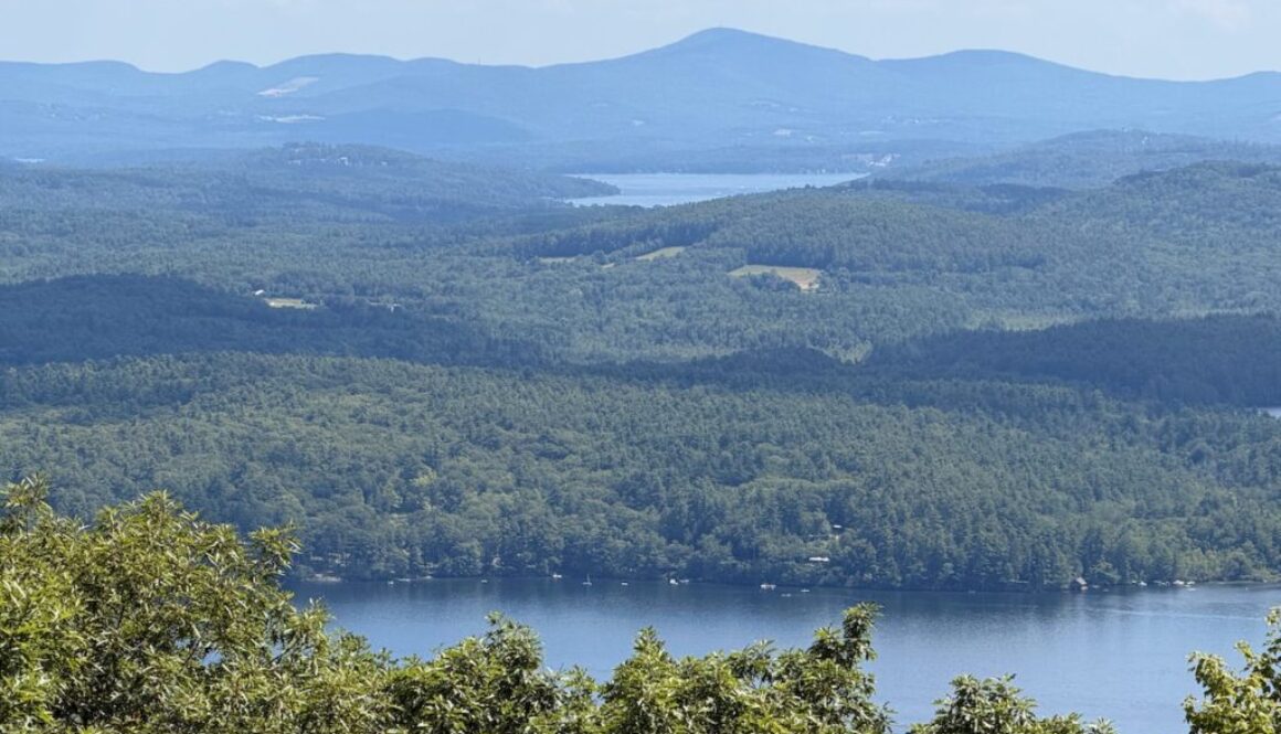
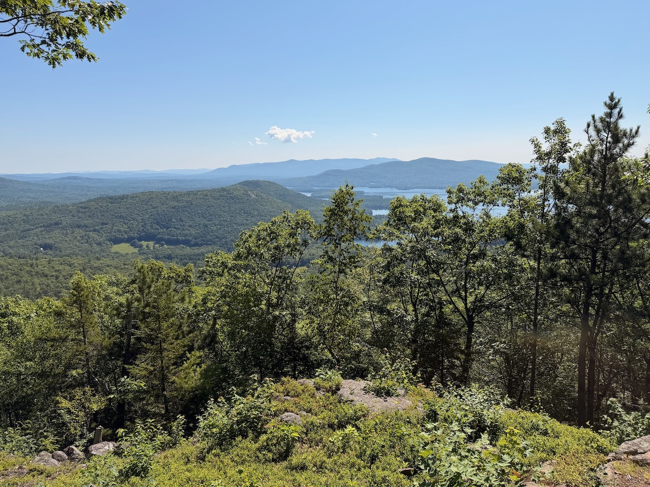
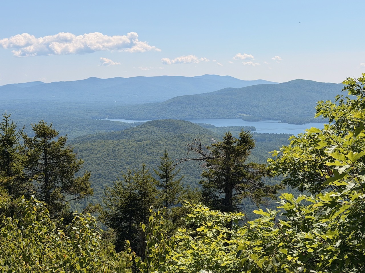
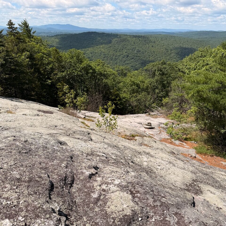
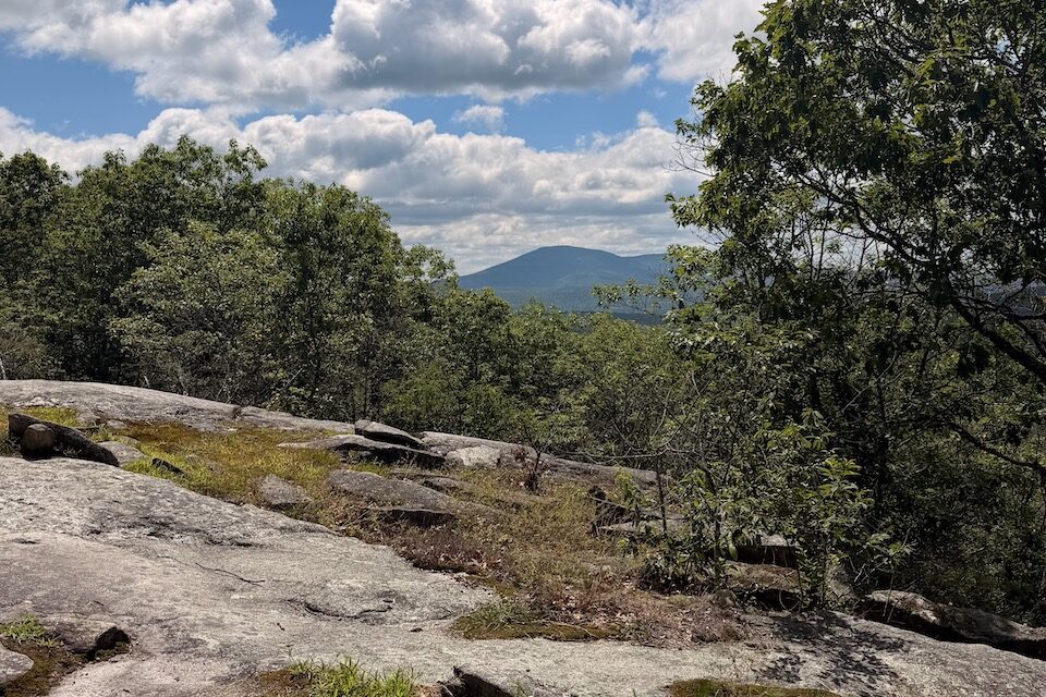
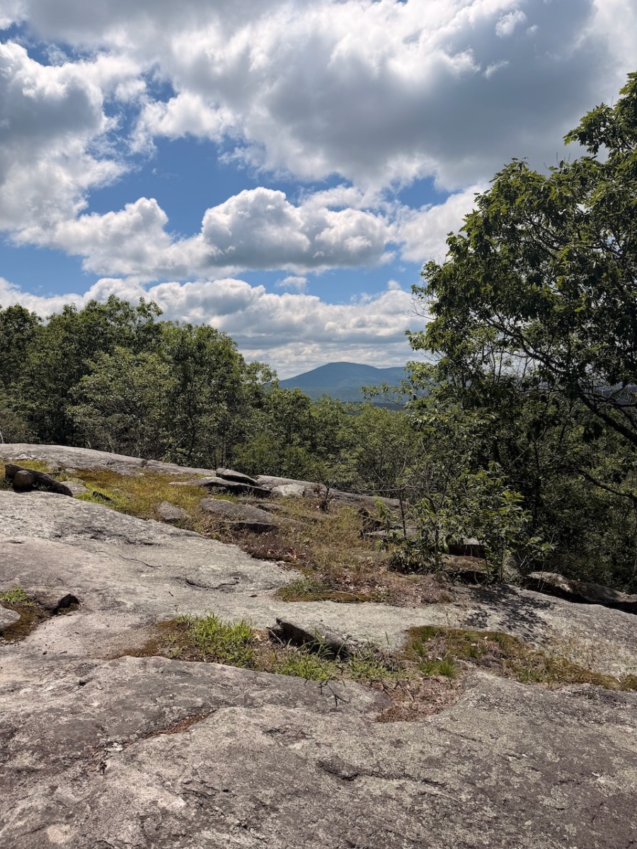
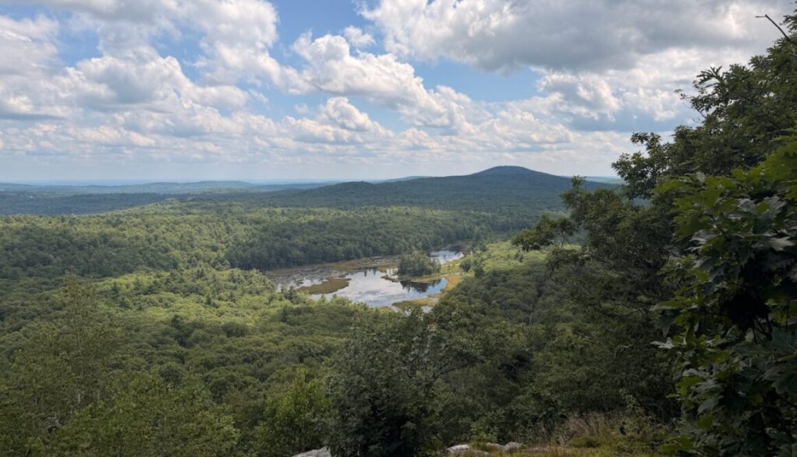
This trail had multiple viewpoints of the Stonehouse Pond below. There were a few other people around, so I didn’t stay long.
First views of Stonehouse Pond
I circled back around to the main trail and continued up. These trails were very well maintained and used by mountain bikers.
This is a great little lookout for the pond.
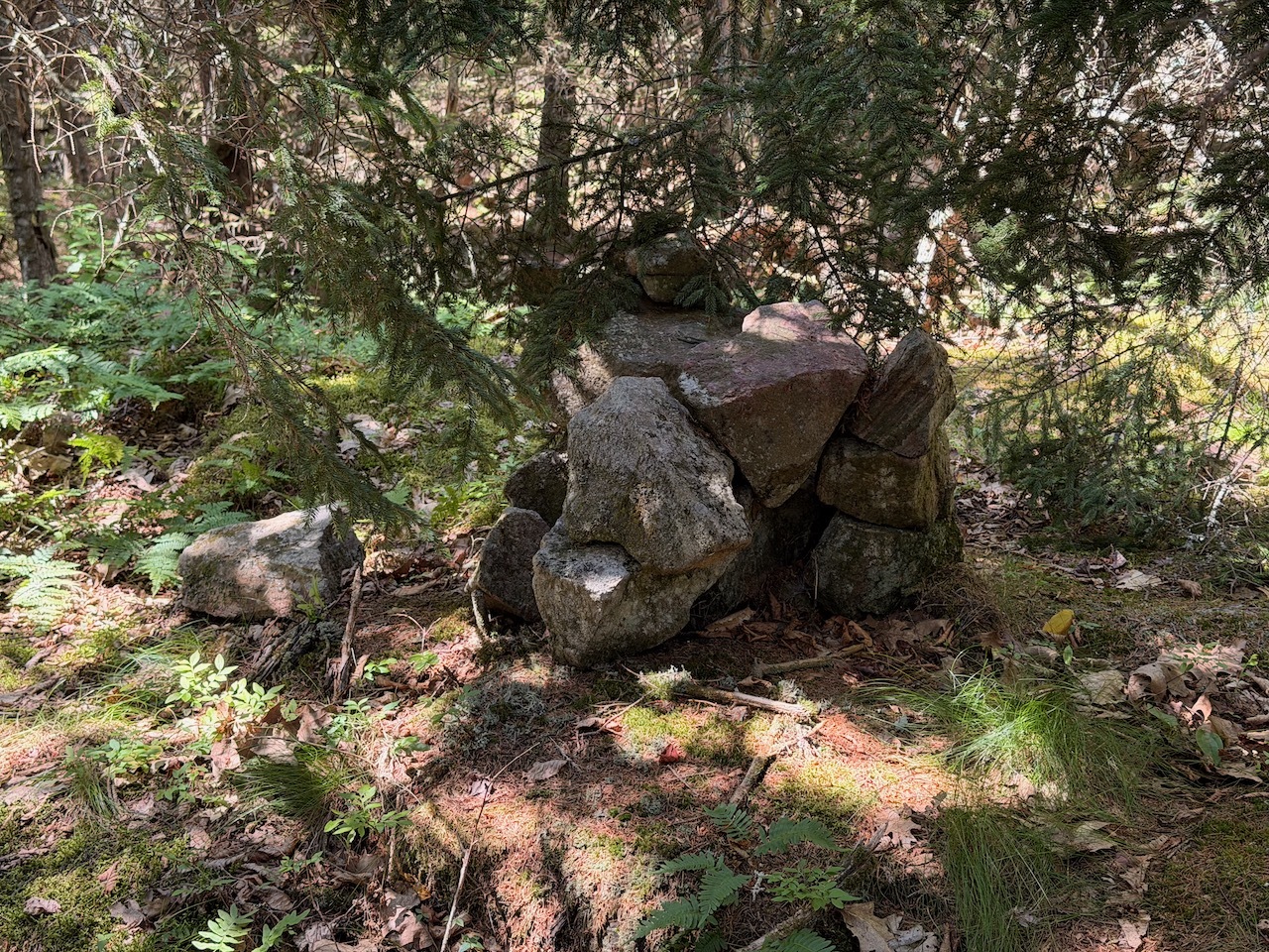
The trail leaves the park boundaries for a little bit. There is a small cairn at the top of Bumfagger Hill.
Climbing back up the trail
Continuing on the trail it eventually re-enters the Stonehouse Forest boundaries and connected with the Overlook Trail.
Bumfagging Hill. lol.
Summit of Bumfagging Hill
I passed the other side of the Ledges trail I was on earlier and started to go around Stonehouse Pond. Even though I knew I was going around it I couldn’t see the pond from the trail.
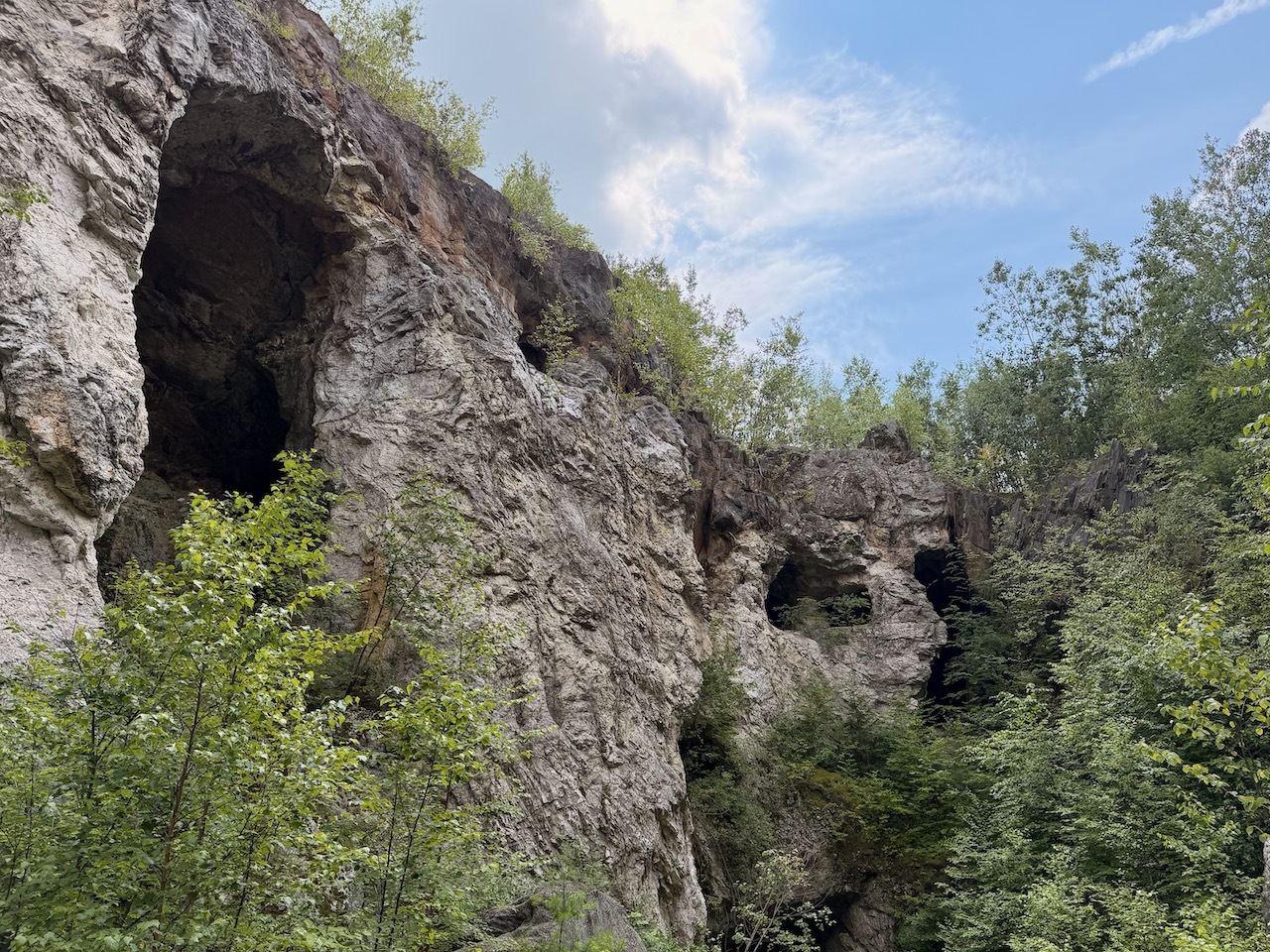
Cool rocks that look like sunglasses
I ended up on the Locke trail that was just a short walk back to the car. There is also a trail I didn’t go down near the lot that leads to a swimming rock.
Last stretch of trail before the parking lot
My time was limited so I opted for the smaller loop around the property. I’ll come back and do the larger one on another day. Maybe even bring my kayak and drop it into the pond.
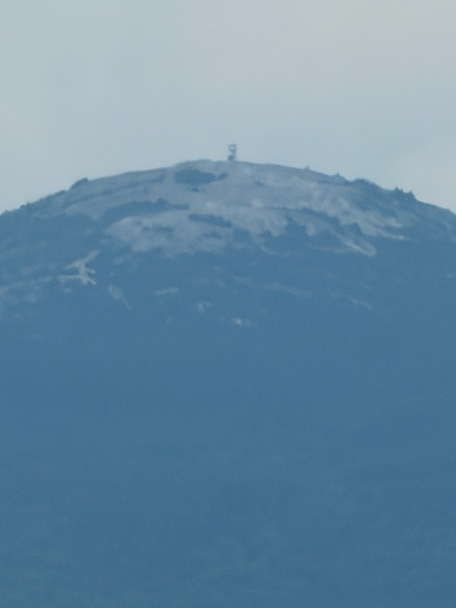
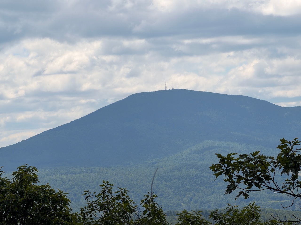
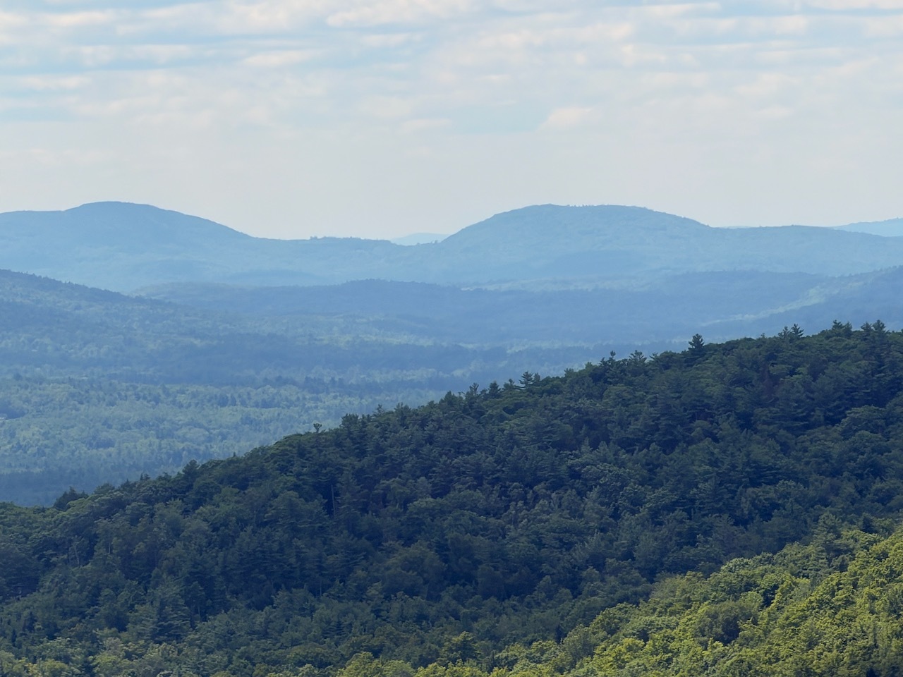
Views of Plymouth State University from Plymouth Mountain.
Date:
5-31-2026
Location:
Plymouth, NH
Distance:
4.76 mi
Elevation Gain:
1389′
Total Time:
4 hr 7 min
Parking:
8-10 cars
It had been a long time since I’ve hiked Mt. Plymouth. I’ve always come up the Plymouth Mt. trail on the other side. But today I decided to do the other trail up to the summit.
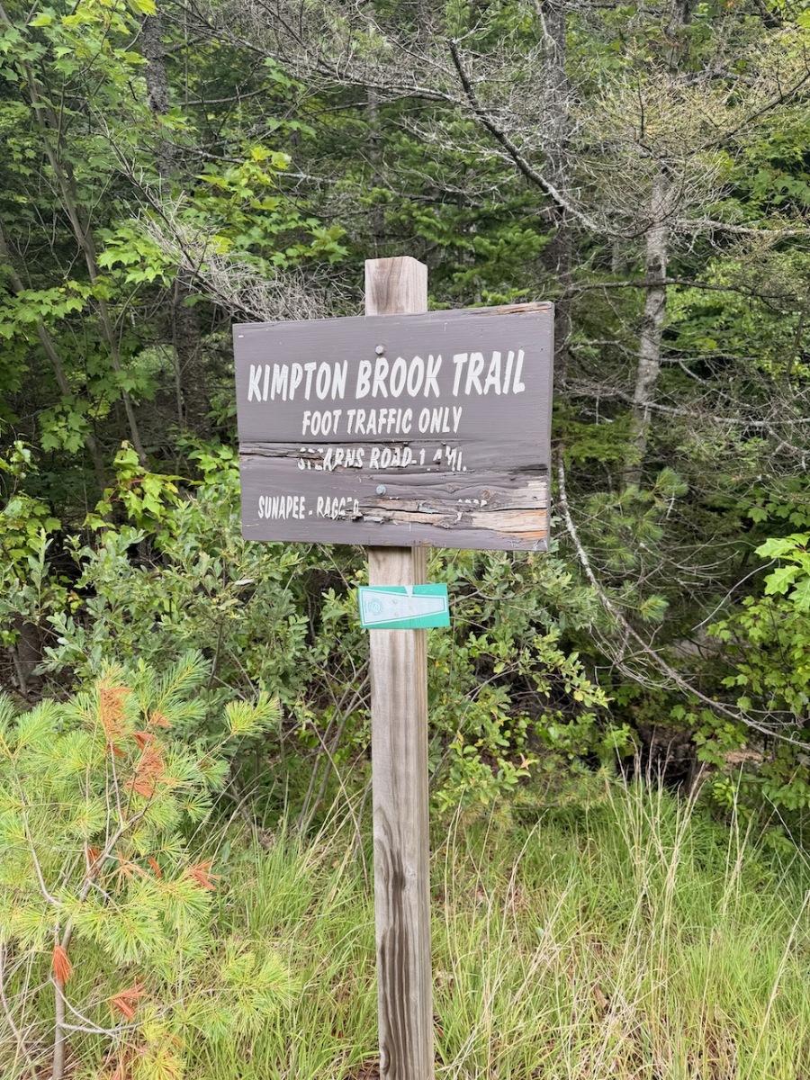
Start of the trail up to Plymouth Mountain.
When I got to the parking lot it was empty and I had a feeling I would be the only one on the trail. There was room for about 8-10 cars.
Kiosk about 50 feet up from the parking lot
Weather was cloudy with some occasional peaks of sunshine. There was a gentle breeze as well.
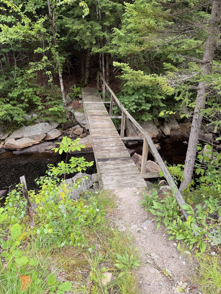
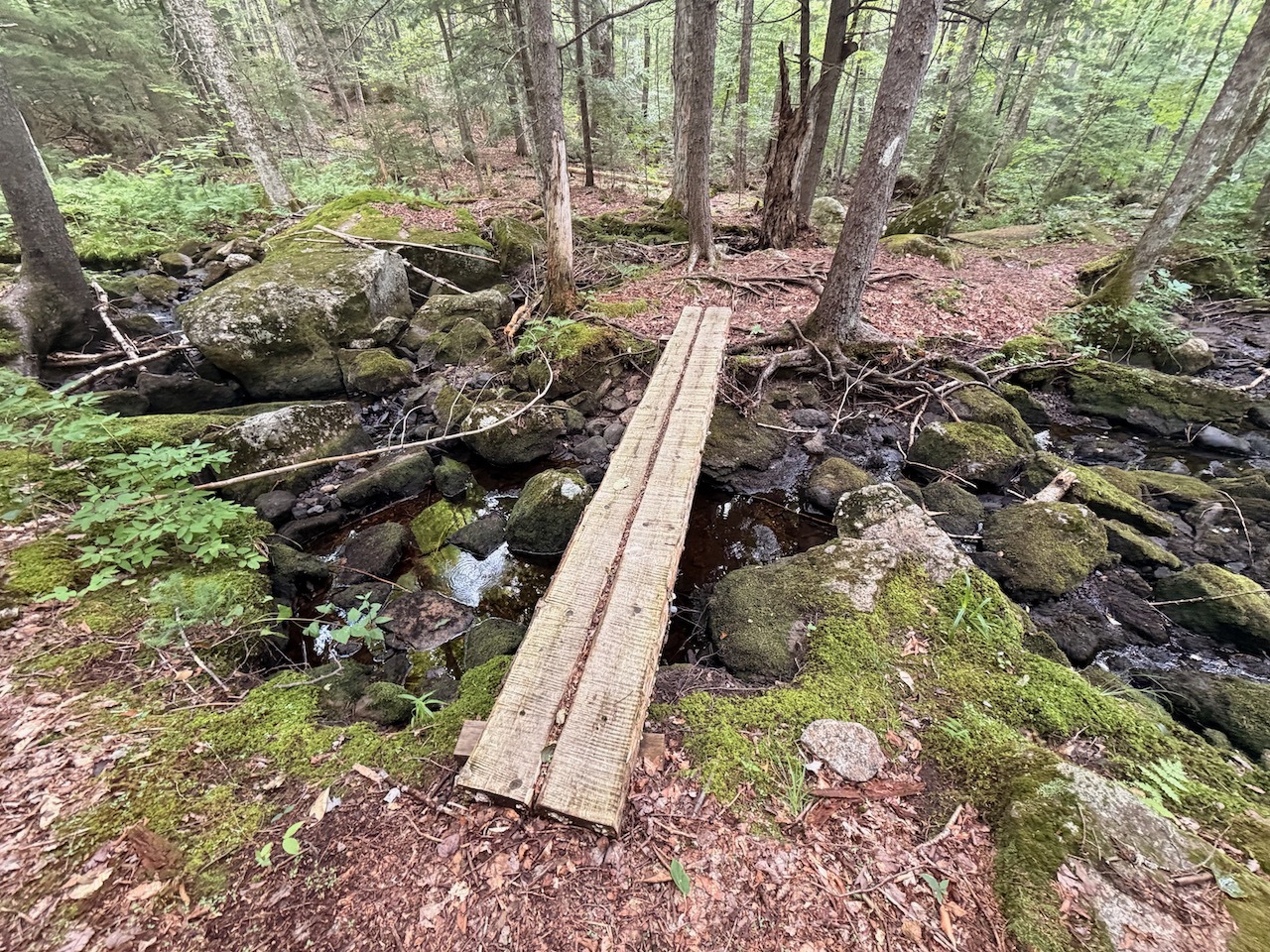
Some board bridges over the wet lands
I started up the trail. About 50 feet in there is a kiosk. Then I continued following a brook alongside the trail.
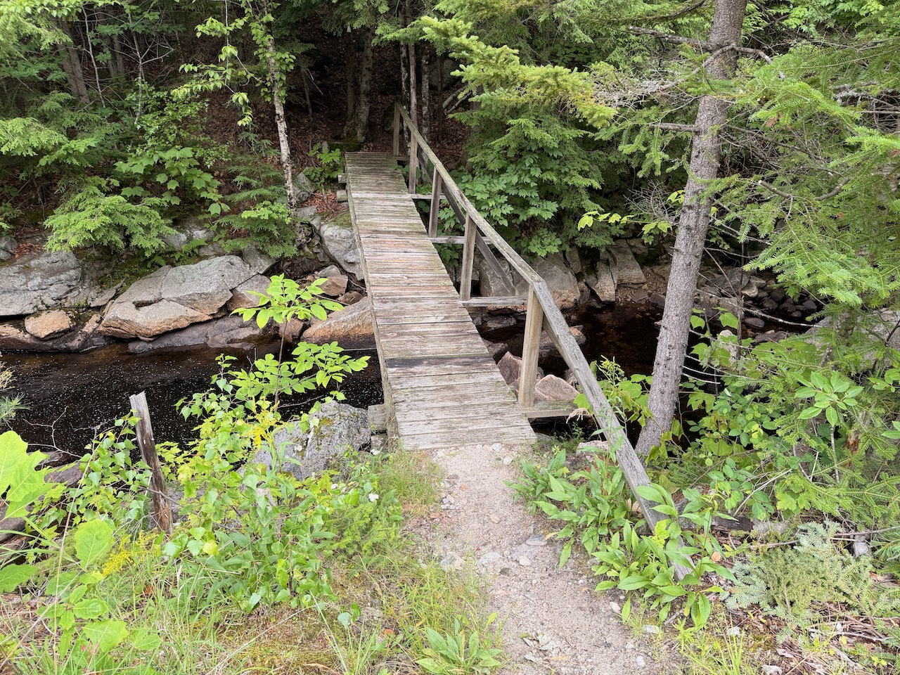
Some easy water crossings. Although I think the day before this might have been a different story.
The trail was in pretty good shape, well-marked and easy to follow. The trail climbs at a moderate grade in most areas.
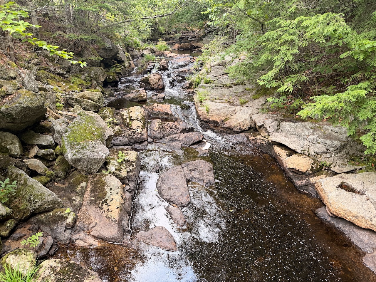
The trail fallows a nice stream
There were a few bridges for some easy water crossings, and I passed a large vernal pool along the way.
Gettting a little elevation
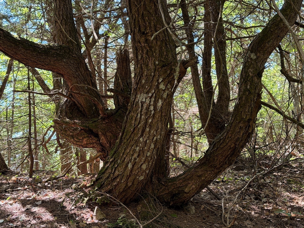
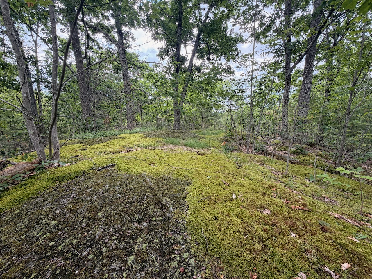
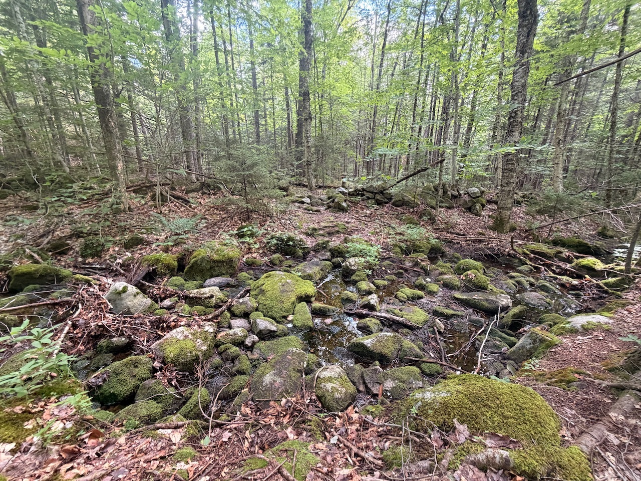
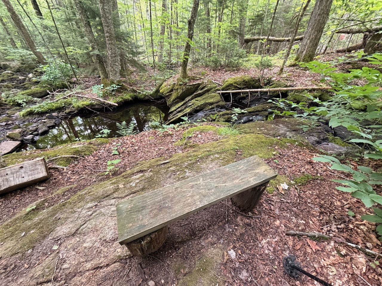
There were a lot of cool trees and rock formations, mossy rocks and etc. along the trail.
Lots of roots on this trail
I got to a split in the trail. There was a short spur path that lead me to a nice cliff and a lookout with great views of the town of Plymouth and Plymouth State University.
Plymouth State University from Pikes Peak on Plymouth Mountain
After a drink, snack and a few pictures I continued toward the summit. I had already done most of elevation.
Hazy day
From this area to the summit was pretty cool. Climbing over large rocks ledgey ground. There are cairns to guide you through. There were also some water pools that may have some frogs living in them.
Mountain pond or wetland up near the summit
Soon I was at the last boulder and saw the summit sign and the geo marker. I sat down and had a drink and another snack before setting back out down the mountain.
The trail squeezes through some rocks and trees
I started following the trail down but some of the terrain looked a little unfamiliar to me. There were cairns to follow but when I looked at my GPS there I had not been in this area.
Cairns on some rocks near the summit
I thought about following the trail down but decided against it due to me being by myself and the sky looking a little more like rain.
Plymouth Mountain summit sign
I tried bushwacking toward the trail a little further down rather than back tracking but the trees were too thick and scratchy. So, back to the trial I went. The rest of the hike down was pretty straight forward and went quickly.
Geo marker for Mt. Plymouth
Just as I got back to the car it started to rain. And by the time I got my pack off it was raining really hard. My timing was perfect.
Great White Trillium
This was a fun trail up but I do really like the animal trail markers that guide you up the other side of the mountain.
I had an early release from work due to a Taco Tour happening later that day. So I took advantage of the time and headed out to New Ipswich for quick hike up Kidder Mt.
First turn on the Wapak Trail
When I got to the parking lot there was only one other vehicle. The lot can hold 6-8 vehicles.
Trail selfie
After I grabbed my things, I headed out north on the Wapak trail. It wasn’t long before I found the trail to Kidder Mt. out on the powerlines. The trail is pretty basic and easy to follow.
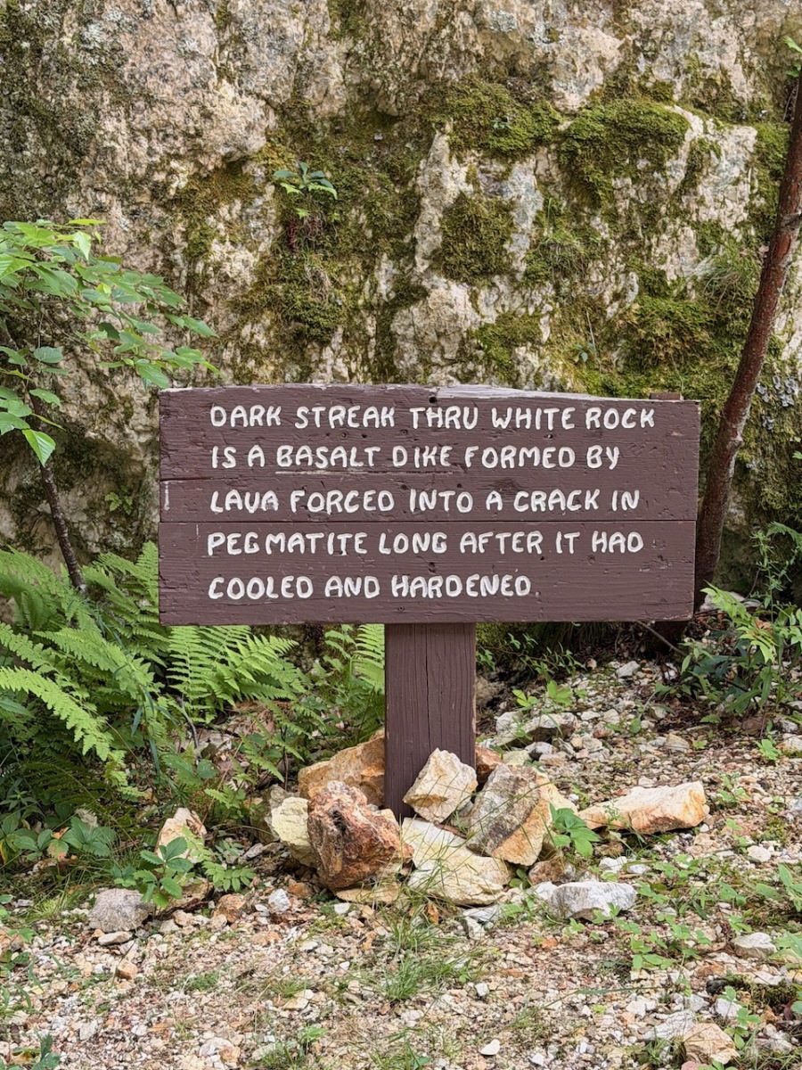
Some decorations near the top
It started to sprinkle a bit and there were a few muddy sections of trail toward the beginning but after that it was mainly dry.
Tall grass along the trail
As I got closer to the top it flattens out and opens up in to a filed. There were some large planters that stood out to me. I walked past them but turned around back to the trail. There was a lot of tall grass and I didn’t want to mess around with ticks.
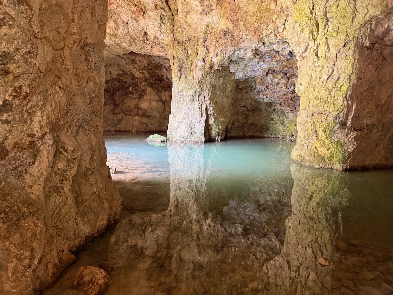
First view near the top
The rest of the trail zig-zagged a bit before I got to a large view point with stone walls. I could see sections of rain and sun on the horizon.
Summit Carin
I walked around to the summit cairn and then over to the high point. Took a few pics and now it was starting to rain so I started back. I chatted with another couple for a bit and then continued down.
Found a tree with a bunch of decorations on it
The walk back was quick and I was able to make it back intime for the taco tour.
Crotched Mountain was not far from our camping site. So Steph, Liberty and I decided to go for a walk and check out a set of ADA trails.
Start of the ADA trail
These are very level and graded trails that you could push a wheel chair on so they were a good choice for our walk.
View of the Uncanoonucs
We started out on the Gregg trail to the beautiful outlook where you can see the Uncanoonucs from.
Walking down the trail
Then we took the road back and started down the Dutton Brook Trail. This trail leads to a loop around a wetland.
Some of the board walks
There was a little elevation but long gentle switchbacks made it easy to descend and climb. Lots of interesting trees and stonewalls along the trail.
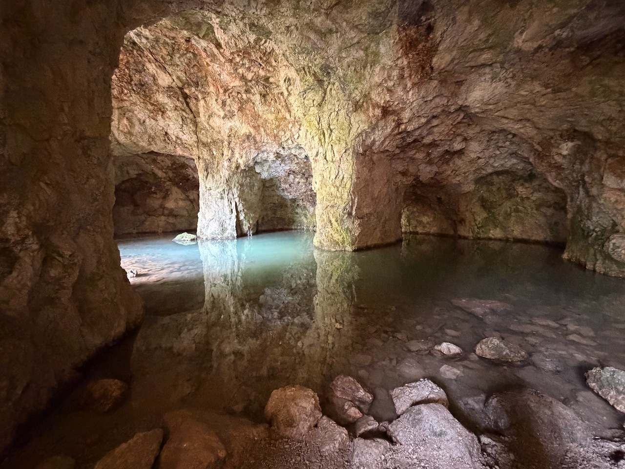
Some interesting sections of trail
When we reached the bottom the trail splits into a loop. We choose to do go clockwise around the loop.
View point in the marshy area at the bottom
From here there are a series of boardwalk that really made this trail fun. We came to a small spur trail that lead to a viewing deck for wildlife.
Town line
We continued around the wetland and on the other side there were more boardwalks. Before we knew it we were back the junction to take us back up the trail.
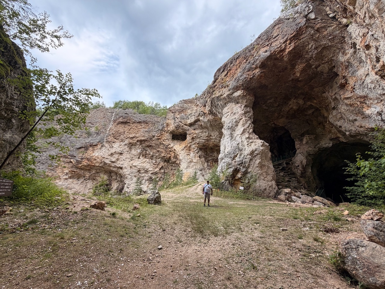
Liberty is ready to go
The walk up went quick. We took breaks and took our time. We were in no rush.
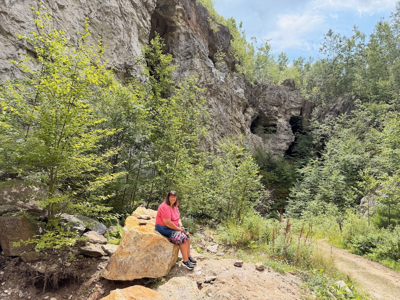
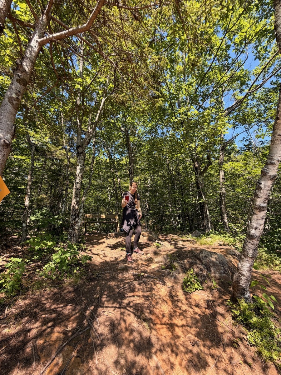
When we got back to the top took a few more pics and then headed back to the car.
We decided to book a last-minute camping trip on Memorial Day weekend. Camping options were slim pickings.
View of our tent at night
Fortunately, we found a site at Greenfield State Park. So, Steph, Liberty and myself set for our first camping trip of the summer. We have stayed at Greenfield before and enjoy the state park. This time we were site 82.
Night time glow
We arrived around 7:30PM Friday night. The site was kind of on a corner but not on top of any other sites. It was level and large enough for our tent. That’s all we needed.
Liberty enjoying the morning camp fire
There are plenty of places to hang a hammock if I wanted. That is always a plus. There were two bathrooms a short walk away with flush toilets.
Camp breakfast
There was rain in the forecast, so we made sure to set up the EZ-Up over the table. We had brought subs for dinner because we knew we were going to arrive late and did not want to cook.
Fields around Crotched Mountain
On Saturday morning we had a great breakfast and hung out at the site and enjoyed the fire for a while.
Libery checking out the bridge
A little later we took a ride and hiked around the Crotched Mountain ADA trails. When we got back to the car it was just starting to rain. So we went and got a warm beverage from Bob’s Chocolate Café.
Steph and Liberty taking a break
Back at the campsite we started a fire and hung out. Later we made camp stove pizza for dinner. It was still misting on and off. Later that night it started raining pretty good.
Enjoying the campfire
It was a little chilly, Liberty slept with her coat on and our sleeping bags were plenty warm.
Our tent setup
The next morning the rain had stopped but it was supposed to start up again later and continue on for the next few days so we decided to pack up and head back home.
Some friends of mine and I were signed up for a Paddle The Boarder event. So Zach, Carrie, Jay and I grabbed our boats and headed north. The trip starts at Woodsville Community Field and paddle down to the Bedell Bridge in Harrisville. Afterword there is a bbq and. Band at the takeout.
Launching from the park in Woodsville
Unfortunately, when we arrived, the event had been canceled due to recent rains causing high water and a swollen river.
More from the launch
Since we had two trucks in our group, we decided to paddle the river anyway and spotted a truck down at the Bedell Bridge. There were a few others that also decided to run the river too.
Water was high and a little confused
The water was running really fast at the put-in. Zack went first, followed by Carrie, shortly after she hit a rock and fell into the river but got back in the boat almost as fast as she fell out. Then I went and then my buddy Jay.
some island campsites that are under water
The river was very high and there were a lot of eddies that created some confused water. Overall though it was easy to navigate.
Very scenic paddle
We didn’t have to paddle that hard with the river moving that fast. As we made our way down we passed some remote campsites on some islands. They were all under about 3 feet of water.
Lots of interesting shore line
As we paddled there were wonderful views of Mt. Moosilauke for most of the trip. It was interesting because the river has some ox bows, sometimes Moosilauke was or our left and sometimes it was on our right as we paddled down.
Very pastoral landscape along the river
There are also great views of farms and rural landscapes. There were not many places to pull off the river for breaks due to the high water.
Paddling with friends
Eventually we came upon another group of campsites, and we were able to pull off and stretch our legs. We noticed there was a mailbox with some information. It just looked funny to see a mailbox alongside the river.
We found a campsite that was not flooded out
After our break we packed up and headed back down stream. From here is was pretty consistant paddling.
Random mailbox on the banks of the river
We came across a bridge. One of the organizers mentioned this as a marker and the launch site of their fall event. So I went over to check out the boat launch. It sits in and is almost hidden.
Beautiful views of Mount Moosilauke
From here we paddled a few more miles before we saw the pillars from the old Bedell Bridge. This is where we are landing. There is a nice park with a boat launch.
Boat launch by the bridge a few miles before takeout
When we got there the Parks person was there to make sure that we made it back safely.
Making our way down the river
Zach and Jay went back to get the other truck. Carrie and I walked around and checked out some of the signs about the bridge. There is a lot of history to this bridge.
The lone pilon where the Bedell Bridge once stood
Most interesting to me was in 1979 just after it was rebuilt there was going to be a wedding and the evening before the bridesmaids went to decorate the bridge.
Approaching the boat landing at Bendell Bridge park
While they were there a fierce windstorm came and everyone took shelter on the bridge.
Our friends forgot their paddles
The wind was so strong that it unseated the bridge from the pillars, and it crashed into the water below with everyone on it!
Kayaks on the Kiosk Historical Sign marking the Bedell BridgeStone marker talking about the bridgeGood Times!Food and.drinks afterwords at the Last Chair BreweryOur route down the river